
College Court in Dickson, Tennessee
College Court in Dickson is a residential street and runs in a southeast-northwest direction starting from West College Street and ends in a cul-de-sac. College Court also exists in Humphreys County.
- Road Type
- residential street
- Route
- southeast-northwest
Image
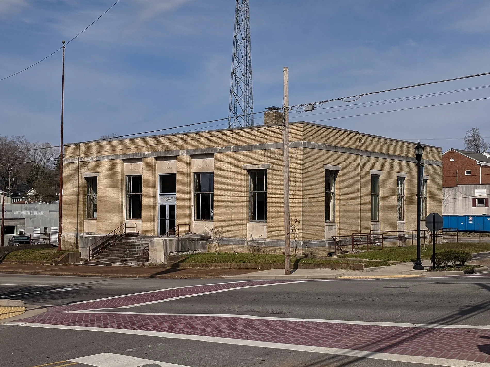
Craft stores
Bars
Schools
Tattoo studios
Dentist offices
- Accent Smile Center (opening hours: Mon n 8–15, Tue - Thu 8–17, Fri 8–12) at E College Street 320 (37055). At our office in Dickson, TN, we offer a wide variety of dental services using cutting-edge technology. These include laser dentistry, cosmetic restorations, prepless veneers, implants, sedation dentistry, TMD/TMJ therapy, OSA appliances and so much mor – approx. 0.5 mi.
Places of worship
Restaurants
Ice cream shops
Cafes
Banks
Farm supply stores
Streets nearby
Little Street250 ft
Lamastus Drive250 ft
North Charlotte StreetTraditions First Bank
350 ft
Cullum Avenue450 ft
Murrell Street500 ft
Walker Street500 ft
Locke Drive0.1 mi
Nesbitt Street0.1 mi
McCreary Street0.2 mi
Aries Alley0.2 mi
North Mulberry Street0.2 mi
West Railroad Street0.2 mi
South Charlotte Street0.2 mi
Masoleum Drive0.2 mi
Cemetery Drive0.2 mi
West College StreetStar Gas, Hillview Baptist Church
0.2 mi
West Walnut StreetBowmans Chapel United Methodist Church, Saint James Episcopal Church
0.2 mi
McKenzie Street0.2 mi
South Main StreetSpots Pots Pottery, House of Brews, Lugo's, Dickson Municipal Building
0.2 mi
Park Avenue0.2 mi
Park Drive0.2 mi
West Rickert AvenueSaint James African Methodist Episcopal Church
0.2 mi
Reeves Street0.3 mi
Bryant AvenueDickson Elementary School
0.3 mi
West Hunt Street0.3 mi
North Main StreetFirst Presbyterian Church, First United Methodist Church, Zander's Woodfired Pizza
0.3 mi
West Ray Street0.3 mi
Main Drive0.3 mi
Oak Drive0.3 mi
West Reeves Street0.3 mi
Freeman Avenue0.3 mi
Paul Singleton Alley0.3 mi
Polk Avenue0.3 mi
Helberg Street0.4 mi
Lockhart Street0.4 mi
Oak AvenueOak Avenue Church of Christ
0.4 mi
McCreary Heights0.4 mi
Taylor Street0.4 mi
Hillview Street0.4 mi
West Cedar Street0.4 mi
East Ray Street0.4 mi
Reeder Avenue0.4 mi
Thayer Street0.4 mi
Buildings nearby
Dickson County Government Building0.2 mi
Cemeteries nearby
Union Cemetery0.2 mi
Parks nearby
Waychoff Park0.2 mi
Nick's Concrete Wonderland0.2 mi
Railways nearby
CSX Bruceton Subdivision0.1 mi
Variety stores nearby
Dollar General0.5 mi
Public transit map Dickson Legend
| Railway | |
| Bus | |
| Streetcar |
Bicycle map Dickson Legend
| Bike path | |
| Bike lane on roadway | |
| Cycling allowed on bus lane | |
| Bicycle street | |
| Open to cyclists | |
| Open to cyclists, good path | |
| Cycling prohibited | |
| Cobblestone |
| Long-distance bike route | (depending on scale) | |
| Long-distance bike route |
Pedestrian map Dickson Legend
| Path |
| Long-distance hiking trail | (depending on scale) | |
| Long-distance hiking trail | ||
| Pedestrians prohibited |