
Boone Street in Erin, Tennessee
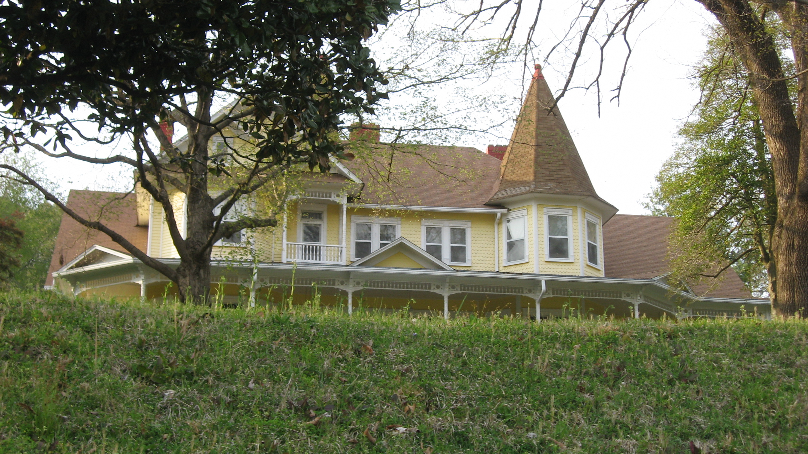
Boone Street in Erin is a residential street. It runs in a North direction starting from South Boone Street and crosses West Main Street, Walnut Street, Chestnut Street and Cherry Street. It ends in a cul-de-sac. Boone Street also exists in Williamson County.
- Road Type
- residential street
- Route
- north-south
Image
Cafes
Supermarkets
Restaurants
Hair salons
Post offices
Fast food restaurants
Streets nearby
Mitchum Drive300 ft
Cherry Street450 ft
South Boone Street0.1 mi
Runions Circle0.1 mi
West Front Street0.2 mi
Chestnut Street0.2 mi
Spencer Street0.2 mi
Old Town Branch Road0.2 mi
Circle Drive0.2 mi
Church Street0.3 mi
Tank Hill Road0.3 mi
Fentress Drive0.3 mi
Depot0.3 mi
Betsy Ligon Walking Trail0.3 mi
Spring Street0.3 mi
Atkins Drive0.3 mi
West Maple Street0.3 mi
Rocky Hollow Road0.4 mi
East Market Street0.4 mi
West Market Street0.4 mi
Town SquareHouston County Coffee Company
0.4 mi
Court Street0.4 mi
East Main StreetErin, Gao's Garden
0.4 mi
East Front Street0.4 mi
West Spring Street0.4 mi
Walnut Street0.4 mi
East Spring Loop0.4 mi
Granny Scott Hollow Road0.4 mi
Briarwood Drive0.4 mi
Hill Street0.4 mi
Midway Place0.4 mi
Midway DriveMidway
0.5 mi
College Street0.5 mi
West Main StreetPiggly Wiggly
0.5 mi
Ridge Top Drive0.5 mi
Roby Lane0.5 mi
Store Front DriveClark's Barber Shop
0.5 mi
Roby Drive0.6 mi
Auto repair shops nearby
Uptown Automotive0.5 mi
Rye's Automotive0.6 mi
Banks nearby
brand=Regions Bank0.3 mi
Buildings nearby
TEC0.2 mi
A E Reynolds Insurance Agency0.6 mi
Courthouses nearby
Houston County Courthouse0.4 mi
Funeral homes nearby
Nave Funeral Home0.3 mi
Libraries nearby
Houston County Public Library0.3 mi
Places of worship nearby
Erin Church of the Nazarene0.2 mi
Restaurants nearby
Paul's Pizza Palace0.4 mi
Town halls nearby
Erin City Hall0.4 mi
Public transit map Erin Legend
| Railway | |
| Bus | |
| Streetcar |
Bicycle map Erin Legend
| Bike path | |
| Bike lane on roadway | |
| Cycling allowed on bus lane | |
| Bicycle street | |
| Open to cyclists | |
| Open to cyclists, good path | |
| Cycling prohibited | |
| Cobblestone |
| Long-distance bike route | (depending on scale) | |
| Long-distance bike route |
Pedestrian map Erin Legend
| Path |
| Long-distance hiking trail | (depending on scale) | |
| Long-distance hiking trail | ||
| Pedestrians prohibited |