
Boundary Trail (Cedar Trail) in Murfreesboro, Tennessee
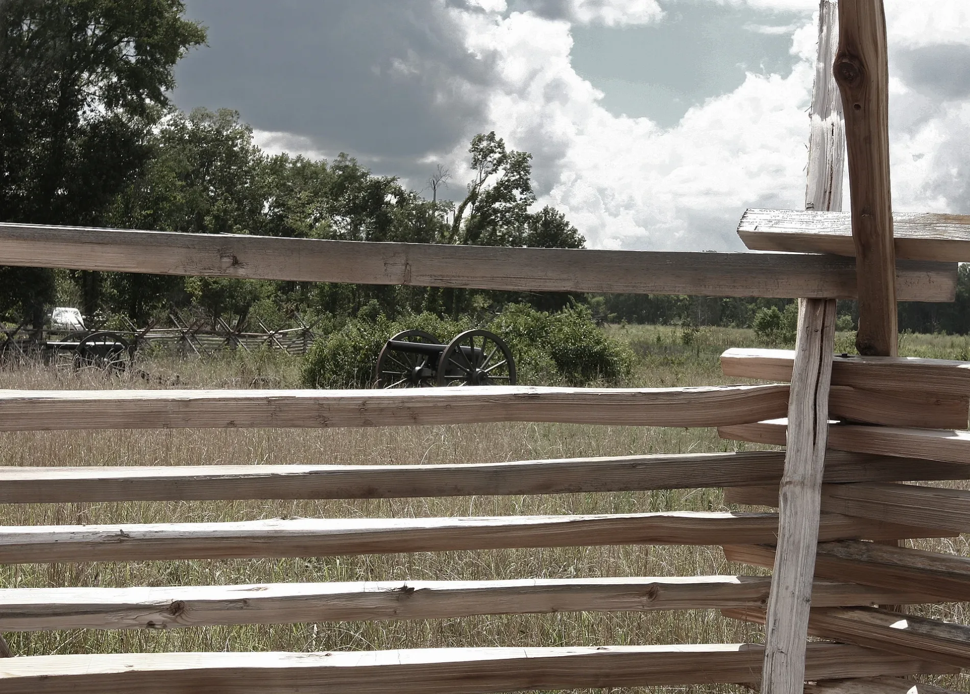
Boundary Trail (Cedar Trail) in Murfreesboro is an unpaved footpath and it runs in an east-west direction and crosses National Park Road.
- Bicycle
- no
- Road Type
- footpath
- Route
- east-west
Image
Furniture stores
Charging stations
Fountains
Tire dealers
Bakeries
Restaurants
Tourist information centers
Fast food restaurants
Motorcycle shops
Car dealerships
Banks
Beauty salons
Streets nearby
National Park Road0.1 mi
Cotton Field Trail0.3 mi
Boundary Trail0.3 mi
Rear VC Trail0.4 mi
Nickens Lane0.5 mi
Pioneer Brigade Earthworks0.5 mi
West College Street SpurCollege Street Trailhead
0.5 mi
Old Lodge Lane0.5 mi
Nickens Road0.5 mi
Gazebo Park Drive0.6 mi
Hope Way0.6 mi
Shadeland Court0.6 mi
N Thompson Lane0.6 mi
McFadden's Lane0.7 mi
Ramblewood Drive0.7 mi
Battlefield Parkway0.7 mi
Blantons Pointe0.7 mi
Crosspark Drive0.7 mi
Windsong Court0.7 mi
Blossoms Court0.7 mi
Wilkinson Pike0.7 mi
West College StreetTriStar Roofing & Exteriors, Marinas on the Square
0.7 mi
Retreat Court0.7 mi
Northwest Broad StreetIndian Motorcycle, Sloan's Motorcycle & ATV Service, Sloan's, Dodge's, Salads On Demand, Yoki Buffet, Taco Bell and Pizza Hut, Liberty Motors LLC, Arby's
0.8 mi
Murfreesboro GreenwayGeneral Bragg Trailhead
0.8 mi
Garrison Drive0.8 mi
West Park Drive0.8 mi
Harding Place0.8 mi
Riverview Drive0.8 mi
Van Cleave Lane0.9 mi
Normanton Lane0.9 mi
Reach Lane0.9 mi
Hawkswick Street0.9 mi
Grassington Street0.9 mi
North Thompson LaneCoffee Fusion, Bank of America, Stonegate Family Dentistry, Stones River Total Beverages, StorPlace of Stones River, Marathon, McDonald's, Bonefish Grill, Samurai's Cuisine, Petland, Jason's Deli, Marble Slab Creamery, Deezie's Hot Chicken, L&A Pediatric & Adult Clinic, Panda Express, The Vitamin Shoppe, Sushin, Play It Again Sports, Roosters - Men's Grooming Center, Fresh Bite Cuban American Cuisine
0.9 mi
Georgetown Lane1.0 mi
Buildings nearby
Visitor Center0.4 mi
Yesteryear Civil War Relics0.5 mi
Goodwill Drop-off0.8 mi
Cemeteries nearby
Stones River National Cemetery0.4 mi
Wade Cemetery0.4 mi
Convenience stores nearby
Mapco Mart0.5 mi
Doctor's offices nearby
Murfreesboro Medical Clinic0.9 mi
Gas stations nearby
BP0.5 mi
Motorcycle shops nearby
Sloan's Motorcycle & ATV0.6 mi
Parks nearby
Pond Park0.7 mi
Places of worship nearby
New Vision Baptish Church0.5 mi
Railways nearby
CSX Chattanooga Subdivision0.9 mi
Retail buildings nearby
On Target0.9 mi
Public transit map Murfreesboro Legend
| Railway | |
| Bus | |
| Streetcar |
Bicycle map Murfreesboro Legend
| Bike path | |
| Bike lane on roadway | |
| Cycling allowed on bus lane | |
| Bicycle street | |
| Open to cyclists | |
| Open to cyclists, good path | |
| Cycling prohibited | |
| Cobblestone |
| Long-distance bike route | (depending on scale) | |
| Long-distance bike route |
Pedestrian map Murfreesboro Legend
| Path |
| Long-distance hiking trail | (depending on scale) | |
| Long-distance hiking trail | ||
| Pedestrians prohibited |