
North Academy Street in Murfreesboro, Tennessee
North Academy Street in Murfreesboro is a residential street. It runs in a South direction starting from East McKnight Drive and crosses East Hembree Street, East Lokey Avenue, Elm Street, Evergreen Street, East Oak Street, East Chestnut Street, Jackson Street, East Bell Street, East Burton Street, East Lytle Street, East College Street and East Main Street and continues as South Academy Street.
- Road Type
- residential street
- Route
- north-south
Image
Places of worship
Clothing stores
Galleries
Liquor stores
Gift shops
Restaurants
Tourist information centers
Bakeries
Supermarkets
Music stores
Hair salons
Courthouses
Tattoo studios
Bus stops
Ice cream shops
Tobacco shops
Streets nearby
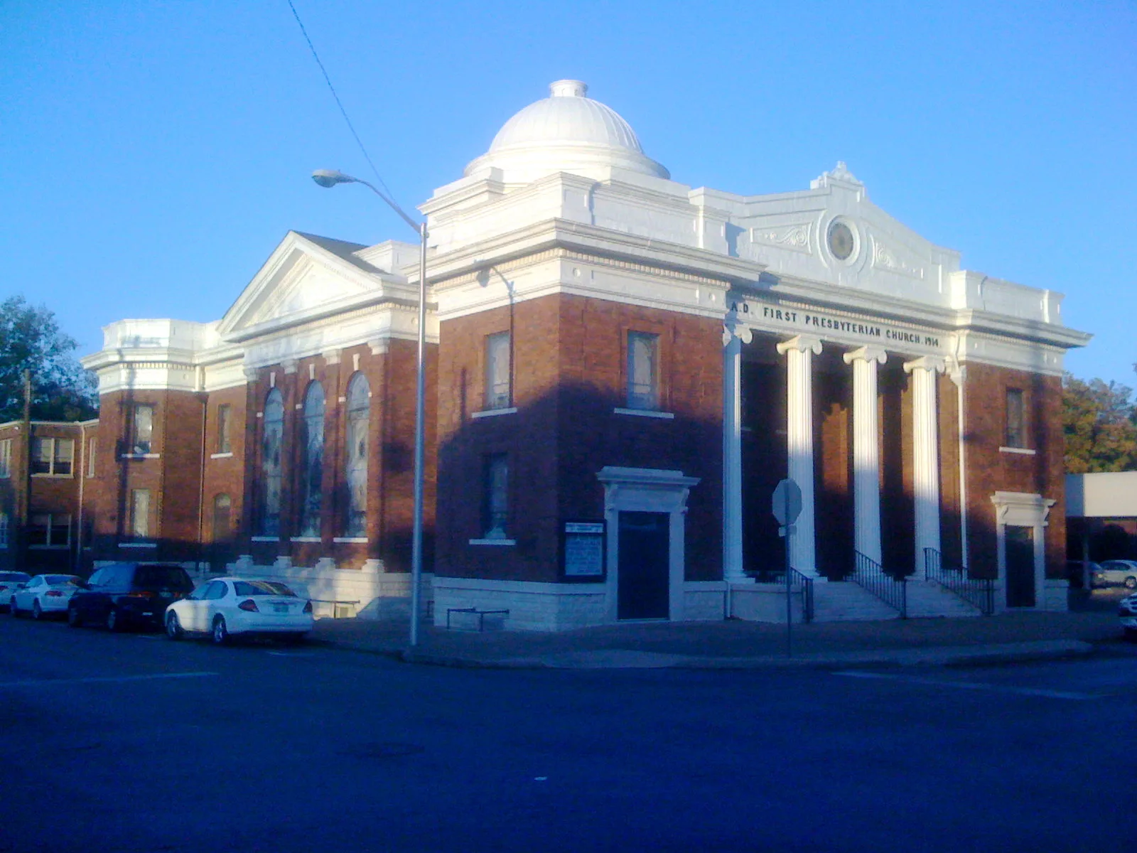
North Spring StreetFirst Presbyterian Church, Grantland Rice
550 ft
East Bell Street550 ft
East Burton Street0.1 mi
East Chestnut Street0.1 mi
West Olive Street0.1 mi
North Church StreetPucketts Restaurant, Palace Barber & Style, Church Street Gallery, Hattie Jane's Creamery, Liquid Smoke, Ideal Hairstyling
0.1 mi
Olive Street0.2 mi
East Oak Street0.2 mi
Courtland Street0.2 mi
East College StreetSimply Pure Sweets, Emerson Bridal, Milano II
0.2 mi
West Burton StreetRutherford County New Courthouse, BURTON ST & WALNUT ST EB
0.2 mi
North Maple StreetBlue Coast Burrito, Rutherford County General Session, Jack Brown's Beer & Burger Joint, Wall Street, Jefferson's, OFLOW, Boro Bourbon & Brews, The String Shop, The Peacock Apothecary, Drip Purple, Music City Tea
0.2 mi
West Oak Street0.2 mi
Jackson Street0.2 mi
Lee Street0.2 mi
West Chestnut Street0.2 mi
Evergreen Street0.3 mi
North Maney Avenue0.3 mi
Elm Street0.3 mi
North Walnut Street0.3 mi
North Highland AvenueN HIGHLAND AVE & E BURTON ST SB, N HIGHLAND AVE & E BURTON ST NB
0.3 mi
Forrest Street0.3 mi
Polk Street0.3 mi
Roberts Street0.4 mi
Greenland Drive0.4 mi
North University Street0.4 mi
East Lokey AvenueOaklands Mansion
0.5 mi
East Hayes Avenue0.5 mi
Buildings nearby
Evans Bulloch Parker PLLC0.1 mi
Dr. Jean Anne Rogers0.2 mi
Rutherford County Health Department0.2 mi
Advance Title of Murfreesboro0.2 mi
Woman's Club0.2 mi
Kious, Rodgers, Barger, Holder & King, PLLC0.2 mi
Milestone Chiropractic0.3 mi
Murfreesboro Group of Alcoholics Anonymous0.3 mi
Legal Aid Society of Middle Tennessee and the Cumberlands0.3 mi
Churches nearby
First United Methodist Church0.2 mi
Clinics nearby
Autism In Motion Clinics0.2 mi
Event venues nearby
Carriage Lane Inn0.1 mi
Funeral homes nearby
Nelson & Sons Chapel Murfreesboro0.3 mi
Guest houses nearby
Childress House BNB0.1 mi
Hair salons nearby
Hair Kutters0.3 mi
Parks nearby
Oaklands Park0.3 mi
Pharmacies nearby
Beckman's Prescription Shop0.2 mi
Retail buildings nearby
Quinn's Mercentile0.1 mi
Secondhand stores nearby
M&M's Thrifty Pieces0.3 mi
Tattoo studios nearby
Icon Body Piercing0.2 mi
University buildings nearby
Miller Education Center0.4 mi
Public transit map Murfreesboro Legend
| Railway | |
| Bus | |
| Streetcar |
Bicycle map Murfreesboro Legend
| Bike path | |
| Bike lane on roadway | |
| Cycling allowed on bus lane | |
| Bicycle street | |
| Open to cyclists | |
| Open to cyclists, good path | |
| Cycling prohibited | |
| Cobblestone |
| Long-distance bike route | (depending on scale) | |
| Long-distance bike route |
Pedestrian map Murfreesboro Legend
| Path |
| Long-distance hiking trail | (depending on scale) | |
| Long-distance hiking trail | ||
| Pedestrians prohibited |