
South Spring Street in Murfreesboro, Tennessee
South Spring Street in Murfreesboro is a residential street. It runs in a north-south direction starting from North Spring Street and crosses East Main Street, East Vine Street and East Sevier Street and ends at East State Street. Nearby you can find a place of worship and a tourist information. The nearest bus stop is BURTON ST & WALNUT ST EB (about 550 m away). South Spring Street also exists in Montgomery County, Bedford County, Coffee County, Overton County and White County.
- Road Type
- residential street
- Route
- north-south
Image
Streets nearby
South Church StreetHonda of Murfreesboro, Physicians Medical Walk in Care, USA Storage Centers, Barfield Animal Hospital, Murfreesboro Post Office, Sauce, Fin Fusion Sushi Bar, Starbucks, Dunkin', Smoothie King, AVAIL Vapor, AT&T, Golden Grill Mongolian & Japanese Cuisine, Sun Tan City, Fifth Third Bank, Firehouse Subs, Tire Discounters, Kings Barber Lounge, Empire Smoke Shop, Daylight Donuts, Taco Bell, Pizza Hut Express, Pizza Hut, Shoney's, Wendy's, Jim Kirby Automotive, Wilson Bank & Trust, Discount Tire, Express Oil Change & Tire Engineers, Music World and Drummer's Den, Gateway Tire & Service Center, Valvoline Instant Oil Change, Advance Auto Parts, Rivers Dental Care, Popeyes
400 ft
East Main StreetCentral Christian Church, Saint Pauls Episcopal Church, Sir Pizza, Slick Pig BBQ, The 214 House, JR's Foodland, Henry's Florist, City Cafe, The Country Gourmet, Jefferson's, Forrest York Guitars
500 ft
South Public SquareWoodsviking Barbershop
550 ft
Civic Plaza0.1 mi
North Public SquareMurfreesboro, The Humidor
0.1 mi
South Maple StreetVeda's Flowers & Gifts, Holden Hardware, Pastime Barbershop & Pool Hall, Domenico's Italian Deli
0.1 mi
East College StreetSimply Pure Sweets, Emerson Bridal, Milano II
0.1 mi
West College StreetTriStar Roofing & Exteriors, Marinas on the Square
0.2 mi
North Maple StreetJack Brown's Beer & Burger Joint, Wall Street, Blue Coast Burrito, Rutherford County General Session, The String Shop, The Peacock Apothecary, Drip Purple, Music City Tea
0.2 mi
West Vine Street0.2 mi
South Walnut Street0.2 mi
Hickerson DriveTennessee Auto Insurance Agency
0.2 mi
Northwest Broad StreetIndian Motorcycle, Sloan's Motorcycle & ATV Service, Sloan's, Dodge's, Salads On Demand, Yoki Buffet, Taco Bell and Pizza Hut, Liberty Motors LLC, Arby's
0.2 mi
North Walnut Street0.3 mi
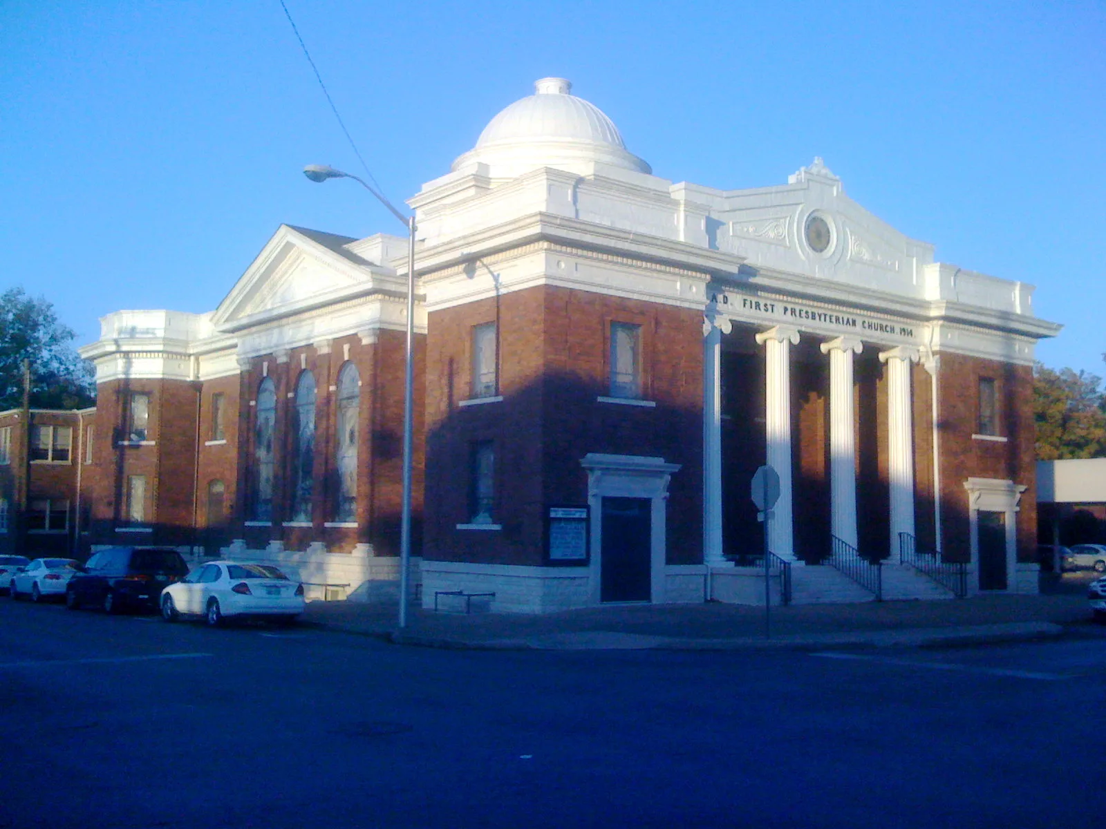
North Spring StreetFirst Presbyterian Church, Grantland Rice
0.3 mi
West Main StreetVibe Nutrition
0.3 mi
West Lytle StreetMt. Zion Missionary Baptist Church, Brass Horn Coffee Roasters
0.3 mi
West Burton StreetRutherford County New Courthouse, BURTON ST & WALNUT ST EB
0.3 mi
North Front StreetDainty Dani's Houseplants + Adornments
0.4 mi
North Church StreetPucketts Grocery, Palace Barber & Style, Church Street Gallery, Hattie Jane's Creamery, Liquid Smoke, Ideal Hairstyling
0.4 mi
West Olive Street0.4 mi
Olive Street0.4 mi
Barker StreetHaynes Auto
0.4 mi
Buildings nearby
Crossmain500 ft
Woman's Club0.2 mi
Rutherford County Judicial Building0.2 mi
Advance Title of Murfreesboro0.2 mi
Dr. Jean Anne Rogers0.2 mi
Evans Bulloch Parker PLLC0.2 mi
Rutherford County Health Department0.3 mi
Dainty Dani's Houseplants + Adornments0.4 mi
Kious, Rodgers, Barger, Holder & King, PLLC0.4 mi
Cannabis dispensaries nearby
Tanasi0.4 mi
Car rentals nearby
Enterprise0.3 mi
Churches nearby
First United Methodist Church0.2 mi
Clothing stores nearby
Trendy Pieces300 ft
Commercial buildings nearby
City Center Building350 ft
Courthouses nearby
Rutherford County Courthouse0.1 mi
Fast food restaurants nearby
Captain D's0.3 mi
Fitness centers nearby
Garage Barre and Bike300 ft
Guest houses nearby
Childress House BNB0.2 mi
Hair salons nearby
Headlines0.2 mi
Libraries nearby
Murfreesboro Public Library500 ft
Pharmacies nearby
Beckman's Prescription Shop0.1 mi
Restaurants nearby
Boro Bowls300 ft
The Alley0.2 mi
Retail buildings nearby
Quinn's Mercentile0.2 mi
Tattoo studios nearby
Icon Body Piercing0.2 mi
Town halls nearby
Murfreesboro City Hall0.1 mi
Public transit map Murfreesboro Legend
| Railway | |
| Bus | |
| Streetcar |
Bicycle map Murfreesboro Legend
| Bike path | |
| Bike lane on roadway | |
| Cycling allowed on bus lane | |
| Bicycle street | |
| Open to cyclists | |
| Open to cyclists, good path | |
| Cycling prohibited | |
| Cobblestone |
| Long-distance bike route | (depending on scale) | |
| Long-distance bike route |
Pedestrian map Murfreesboro Legend
| Path |
| Long-distance hiking trail | (depending on scale) | |
| Long-distance hiking trail | ||
| Pedestrians prohibited |