
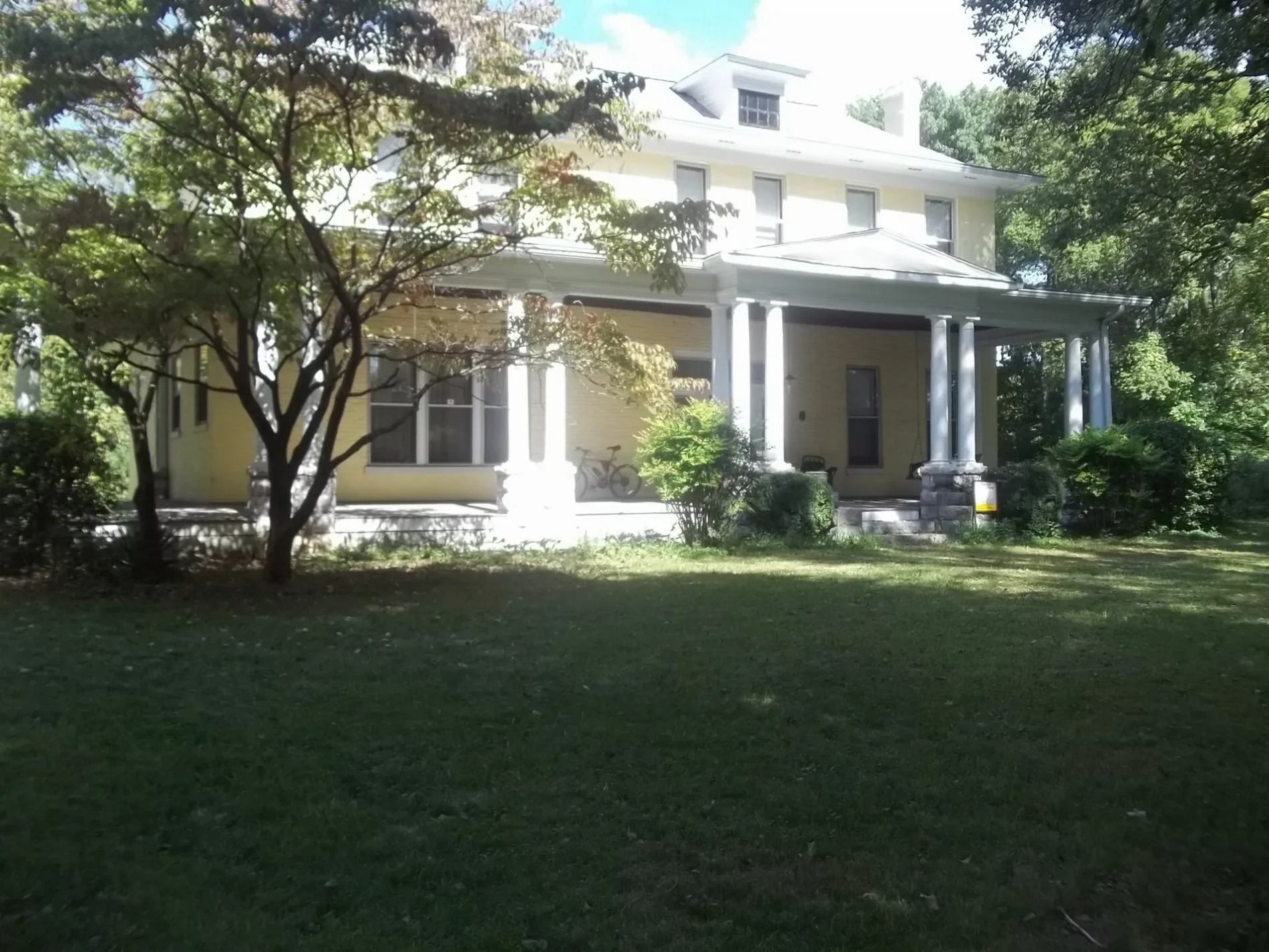
Carriage Lane in Hendersonville, Tennessee
Carriage Lane in Hendersonville is a residential street (private). The road consists of separate carriageways in sections. It runs in a East direction starting from Carriage Way.
- Road Type
- residential street
- Route
- northeast-southwest
Image
Supermarkets
Dentist offices
Cafes
Town halls
Copy shops
Cemeteries
Schools
Restaurants
Auto repair shops
Variety stores
Auto parts stores
Places of worship
Fast food restaurants
Theaters
Supplement stores
Tire dealers
Tattoo studios
Furniture stores
Hardware stores
Streets nearby
Coachman Place250 ft
Carriage Way300 ft
Hazel Path500 ft
Hazel Path Court0.1 mi
Maple Row BoulevardSmile Construction Orthodontist
0.2 mi
Indian Lake RoadHendersonville ROTC Compound, Indian Forest
0.2 mi
East Main StreetSaundersville, Johnny Cash Museum, Waffle House, NTB, Avondale, Wendy's, Speedway
0.3 mi
park bridge0.3 mi
Martin Drive0.3 mi
Sequoyah Drive0.3 mi
Galway Lake North0.4 mi
Indian Lake BoulevardChipotle, Nothing Bundt Cakes, NY
0.4 mi
Berrywood CourtTaylor Swift Auditorium
0.4 mi
Clearview CircleNokes Heights
0.4 mi
Galway Lake South0.4 mi
Sequoyah Trail0.4 mi
West Main StreetBB AutoClub, O'Reilly Auto Parts, Guns and Leather Proshop, Waffle House, eVgo, Express Oil Change & Tire Engineers, Starbucks, Advance Financial, Hendersonville, BB Printing & Signs
0.4 mi
Sanders Ferry Road0.4 mi
Canfield Place0.5 mi
Cages Road0.5 mi
Cherokee Road North0.6 mi
Volunteer Drive0.6 mi
Auto parts stores nearby
Advance Auto Parts0.5 mi
Auto repair shops nearby
Firestone0.3 mi
Cafes nearby
Dutch Bros. Coffee0.4 mi
Convenience stores nearby
Marathon0.5 mi
Copy shops nearby
The UPS Store0.3 mi
Dentist's offices nearby
Embassy Dental0.5 mi
Fast food restaurants nearby
Whataburger0.2 mi
Wendy's0.2 mi
Subway0.3 mi
Raising Cane's0.3 mi
Slim Chickens0.4 mi
Ice cream shops nearby
Baskin-Robbins0.3 mi
Parks nearby
Drakes Creek Park0.3 mi
Memorial Park0.4 mi
Pharmacies nearby
Walgreens0.3 mi
Places of worship nearby
First United Methodist0.3 mi
Railways nearby
Mainline Subdivision0.6 mi
Restaurants nearby
Myers' Front Porch0.2 mi
Pizza Hut0.3 mi
Waffle House0.5 mi
School buildings nearby
Hendersonville High School0.2 mi
Ellis Middle School0.2 mi
Nannie Berry Elementary0.4 mi
Sports fields nearby
Hendersonville High School Football Stadium0.2 mi
Stationery stores nearby
Office Depot0.5 mi
Supermarkets nearby
Publix0.4 mi
Tire dealers nearby
Tire Discounters0.5 mi
Public transit map Hendersonville Legend
| Railway | |
| Bus | |
| Streetcar |
Bicycle map Hendersonville Legend
| Bike path | |
| Bike lane on roadway | |
| Cycling allowed on bus lane | |
| Bicycle street | |
| Open to cyclists | |
| Open to cyclists, good path | |
| Cycling prohibited | |
| Cobblestone |
| Long-distance bike route | (depending on scale) | |
| Long-distance bike route |
Pedestrian map Hendersonville Legend
| Path |
| Long-distance hiking trail | (depending on scale) | |
| Long-distance hiking trail | ||
| Pedestrians prohibited |