
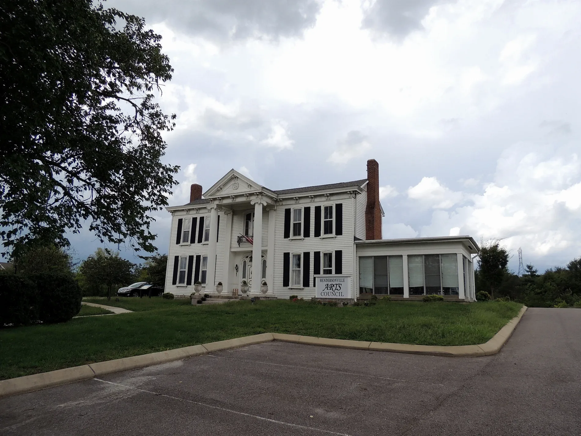
Comer Lane in Hendersonville, Tennessee
Comer Lane in Hendersonville is a residential street and it runs in a southeast-northwest direction starting from Center Point Road and ends at Monthaven Boulevard.
- Road Type
- residential street
- Route
- southeast-northwest
Image
Schools
Car dealerships
Post offices
Dentist offices
Bus stops
Restaurants
Auto parts stores
Hardware stores
Furniture stores
Tire dealers
Fast food restaurants
Charging stations
Gun stores
Police stations
Thrift stores
Places of worship
Streets nearby
Center Point Road0.1 mi
West Main StreetO'Reilly Auto Parts, Guns and Leather Proshop, Waffle House, eVgo, Express Oil Change & Tire Engineers, Hendersonville
0.1 mi
Monthaven Boulevard0.2 mi
Center Point Road South0.3 mi
Linden Drive0.3 mi
Chambliss Court0.4 mi
Chipwood Drive0.4 mi
Gallatin PikeTaco Bell, EAST HILL STATION OUTBOUND, McDonald's, Chicago Style GYROS, GALLATIN PK & BURCHWOOD AV, Little Caesars, GREENFIELD STATION INBOUND, GREENFIELD STATION OUTBOUND, Sonic, WALTON STATION INBOUND, WALTON STATION OUTBOUND, Baxter Alternative Learning Center, Cook Out, GALLATIN AVE & LELAND AVE NB, EAST HILL STATION INBOUND, Jackson Park Church, INGLEWOOD STATION INBOUND, GALLATIN PIKE & BROADMOOR SB, S GALLATIN PIKE & BROADMOOR DR NB, Sisters Collective, Mapco gas station, Madtown Coffee, MADISON STATION INBOUND, INGLEWOOD STATION OUTBOUND, Enterprise, GALLATIN PIKE & MAYNOR AVE SB, GALLATIN PIKE & IVERSON AVE NB, Backslide Vintage, GALLATIN PIKE S & MAPLE ST SB, New Life Baptist Church, Restoration Church, Bojangles', MADISON STATION OUTBOUND, GALLATIN PIKE & MAPLE ST NB, DUE WEST STATION INBOUND, DUE WEST STATION OUTBOUND, Ink Gallery Tattoo, GALLATIN PIKE & EMMITT AVE NB, S GALLATIN PIKE & EMMITT AVE SB, S GALLATIN PIKE & BERKLEY DR NB, S GALLATIN PIKE & BERKLEY DR SB, Dutch Bros. Coffee, East Side Church of Christ, GALLATIN PK & CAROLYN AVE SB, The Fox Bar & Cocktail Club, Speedway, GALLATIN PK & CAROLYN AVE NB, Jere Baxter Middle School, GALLATIN PIKE & STRATFORD AVE NB, East Nashville Beard and Narber, GALLATIN PIKE & CURDWOOD BLVD SB, N GALLATIN PIKE & ARDEE AVE NB
0.5 mi
Bartlett Lane0.5 mi
Mansker Drive0.5 mi
Davidson Court0.6 mi
Hickory Point0.6 mi
Caldwell Drive0.6 mi
Hillsdale Drive0.7 mi
Cedar Valley Drive0.8 mi
Chaparral DriveChaparral
0.8 mi
Louise Avenue0.8 mi
Molly Walton Road0.9 mi
Two Valley RoadTwin Valley
0.9 mi
Free Hill Road0.9 mi
Riverchase Boulevard1.0 mi
Power Plant Road1.0 mi
North Valley Road1.0 mi
Dennis Road1.0 mi
South Valley Road1.1 mi
Rockland RoadRockland
1.1 mi
Cumberland Hills Drive1.1 mi
Ridgecrest Drive1.1 mi
East Hill Drive1.1 mi
Vietnam Veterans Boulevard1.1 mi
Spring Branch Drive1.1 mi
Buildings nearby
Twelve Stones Stables1.0 mi
Old Hickory Power Plant1.0 mi
Commercial buildings nearby
Magnetic Hold Inc.0.8 mi
Convenience stores nearby
MAPCO Mart0.2 mi
Dog parks nearby
Fenway's Park1.2 mi
Electronics stores nearby
Best Buy1.0 mi
Gas stations nearby
MAPCO0.1 mi
Exxon0.6 mi
Hotels nearby
InTown Suites Extended Stay Nashville TN - Hendersonville0.7 mi
Industrial areas nearby
Old Hickory Power Station1.0 mi
Olld Hickory Lock & Dam1.1 mi
Parks nearby
Moss–Wright Park1.1 mi
Railways nearby
CSX Mainline Subdivision0.5 mi
Recreation grounds nearby
Tailwater Access Area1.0 mi
Rivers nearby
Cumberland River1.1 mi
Stadiums nearby
Jim Carell Athletic Complex0.6 mi
Streams nearby
Mansker Creek1.1 mi
Waters nearby
Old Hickory Lock1.0 mi
Public transit map Hendersonville Legend
| Railway | |
| Bus | |
| Streetcar |
Bicycle map Hendersonville Legend
| Bike path | |
| Bike lane on roadway | |
| Cycling allowed on bus lane | |
| Bicycle street | |
| Open to cyclists | |
| Open to cyclists, good path | |
| Cycling prohibited | |
| Cobblestone |
| Long-distance bike route | (depending on scale) | |
| Long-distance bike route |
Pedestrian map Hendersonville Legend
| Path |
| Long-distance hiking trail | (depending on scale) | |
| Long-distance hiking trail | ||
| Pedestrians prohibited |