
Hendersonville, Tennessee
Hendersonville is located in Sumner County. The region is located on the body of water Old Hickory Lake. About 61,753 people live here (as of 2020). Between 2010 and 2020, the population grew from 51,372 to 61,753. The region is at 147 meters above sea level. The area covers about 95.8 square kilometers. There are about 1.564 streets in Hendersonville. The region was founded in 1784. The ZIP codes are 37075–37077. The dialing code is 615. Hendersonville is city in Tennessee, United States. Among other things, Hendersonville has public Transport, restaurants, supermarkets, museums, schools, dentists and pharmacies. More information at www.hvilletn.org.
Hendersonville – Facts
| Population | 61753 |
|---|---|
| Area | 95.8 km² |
| Year built | 1784 |
| Elevation | 147 m |
| Located in | Sumner County |
| Postal code | 37075 |
| Country | United States |
| Body of water | Old Hickory Lake |
| Official name | Hendersonville |
| Website | http://www.hvilletn.org |
Data source: Wikidata (CC0)
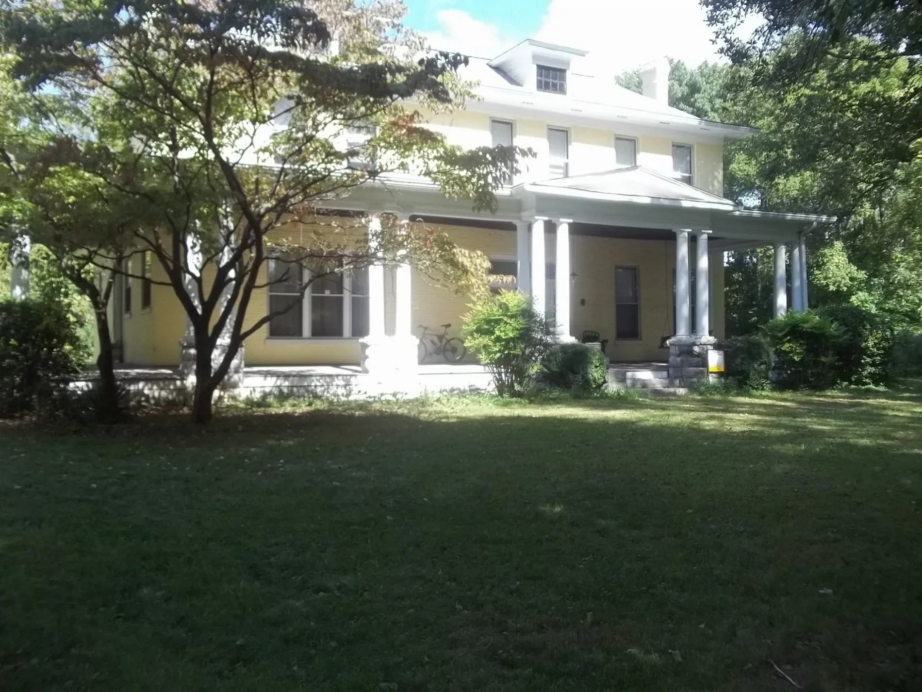
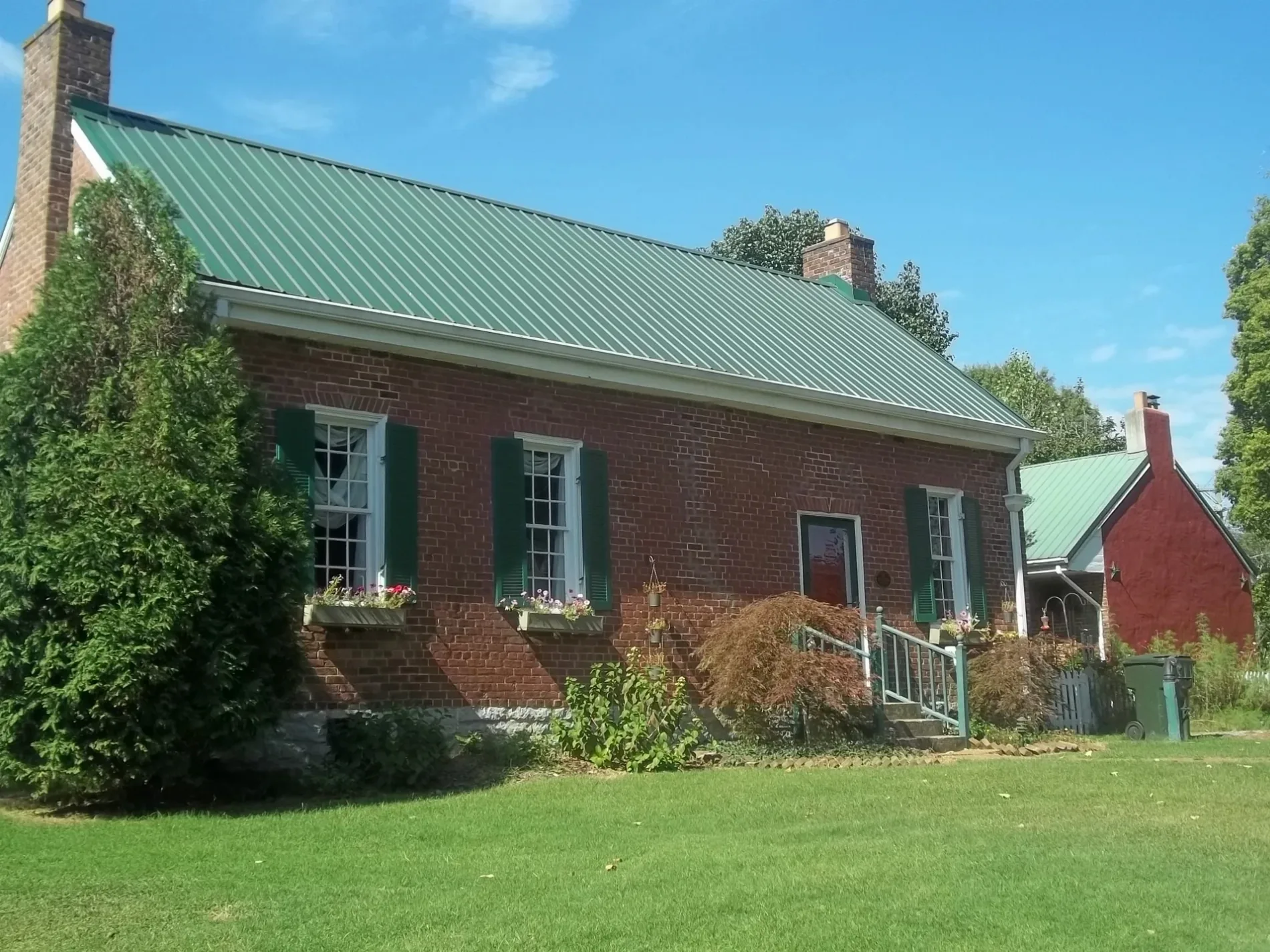
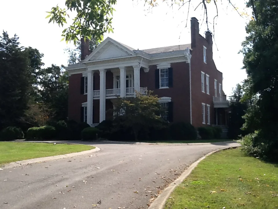
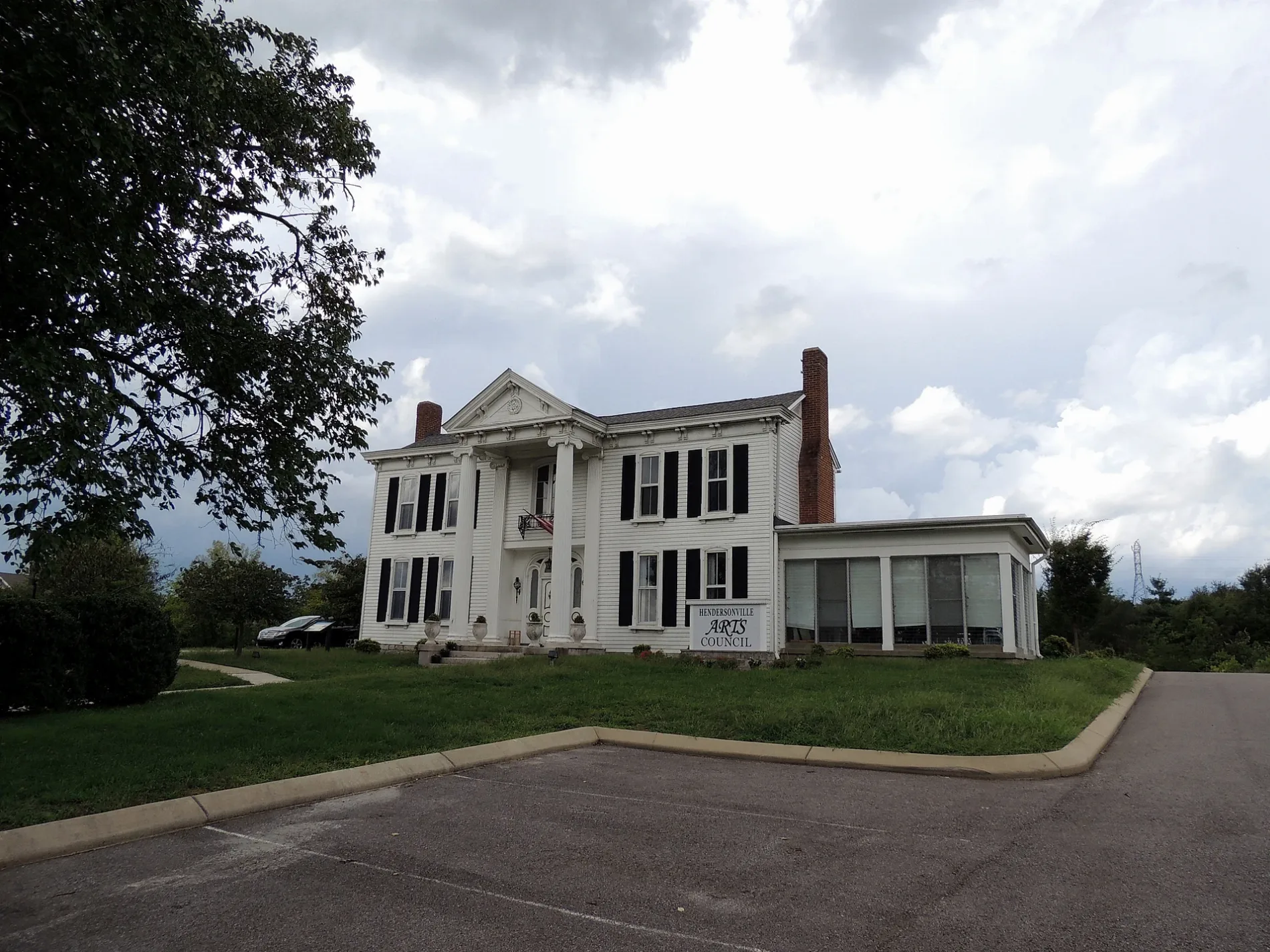
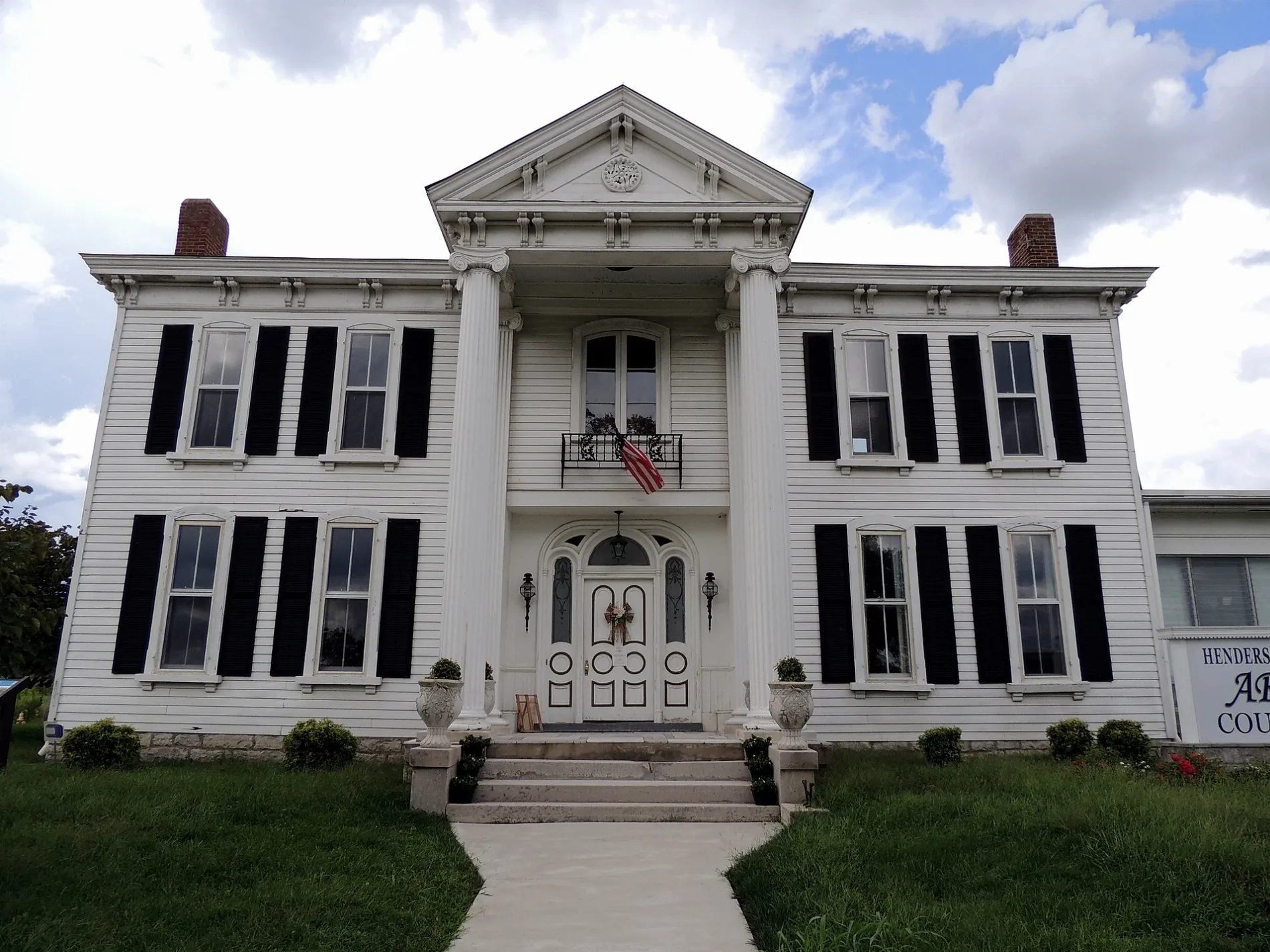
Photos from Hendersonville
Streets in Hendersonville, Tennessee
Streets
West Main Street
O'Reilly Auto Parts, Guns and Leather Proshop, Waffle House, eVgo, Express Oil Change & Tire Engineers, Hendersonville
Saundersville RoadThorntons, Speedway, Shell, Five Guys
East Main StreetSaundersville, Johnny Cash Museum, Waffle House, Avondale, Wendy's, Speedway
Glenbrook WayChick-fil-A, Kroger, Texas Roadhouse
Indian Lake BoulevardChipotle, Nothing Bundt Cakes, NY
Imperial BoulevardHendersonville Post Office, Gene W Brown Elementary School, Hendersonville Police Department
Township DriveMcDonald's, Dunkin'
Anderson Lane NorthThe Chop House, Chili's
Stark Knob RoadStark Knob Church, Stark Knob Cemetery
Iris DriveSonic, Yokohama
Midtown CourtCertified Auto Brokers LLC, Sun-Cool Glass & Trim
Hendersonville GreenwayHendersonville Greenway Trail Head, J Street Korean Grill & Bar
New Shackle Island RoadHendersonville Family Denstry
Old Shackle Island RoadMusic City Diner
Agee Circle WestCinco de Mayo Mexican Restaurant
Commerce DriveTakehold Printing
Maple Row BoulevardSmile Construction Orthodontist
Donna DriveFirst Assembly of God Church
Bluegrass DriveDiscount Tire
Winston Hills ParkwayWalgreens
Powell DriveAutozone
Cinema DriveMaru Iyagi
Country Club DriveSaint Joseph of Arimathea Episcopal Church
Gallatin RoadPopeyes
Scotch StreetWessington Place Elementary School
Maple StreetNational Rustic Handcrafted Furniture
Executive Park DriveMcDonald's
Berrywood CourtTaylor Swift Auditorium
Indian Lake RoadHendersonville ROTC Compound, Indian Forest
Campus DriveHawkins Junior High School
Chipwood Drive
Nauta Court
Forest Retreat RoadCedarbrook
Elderberry Drive
Deer Point Lane
Brookside Drive
Elnora Court
Ervin Street
Hannah Street
Sumner Meadows Lane
Greenyards Place
Kenton Loop
Cline Avenue
Southern Trace
Elnora Drive
Pleasantview Drive
Moyna Drive
Dalton Circle
Bradford Circle
Stoneway
Riverbirch Lane
Surrey Hill Point
Cumberland Hills Drive
Redondo Court NorthThe Maples
Sandpiper Circle
Innsbrooke Avenue
Ventura Court
Fairways Drive
Gatire Drive
Allen Court South
Village Court
Highlander Drive
Applewood Valley Drive
Sagamore Trace
Earline Avenue
Twin Oaks Place
Riverbend Road
Glance Court
Taylor Industrial Boulevard
Andrews Run
Clarendon Place
Candy Lane
Twin Oaks Drive
Grapevine Road
Kiser AvenueShops
Buildings
Fast food restaurants
Industrial areas
Restaurants
Public transit map Hendersonville Legend
| Railway | |
| Bus | |
| Streetcar |
Bicycle map Hendersonville Legend
| Bike path | |
| Bike lane on roadway | |
| Cycling allowed on bus lane | |
| Bicycle street | |
| Open to cyclists | |
| Open to cyclists, good path | |
| Cycling prohibited | |
| Cobblestone |
| Long-distance bike route | (depending on scale) | |
| Long-distance bike route |
Pedestrian map Hendersonville Legend
| Path |
| Long-distance hiking trail | (depending on scale) | |
| Long-distance hiking trail | ||
| Pedestrians prohibited |