
SoMa 23 Apartments in Memphis, Tennessee
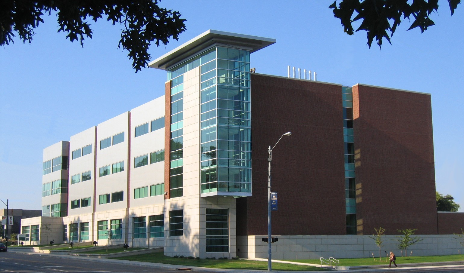
SoMa 23 Apartments in Memphis is an apartment building. SoMa 23 Apartments is located near North Somerville Street.
- Building Type
- apartment building
Image
Streets nearby
Monroe AvenueMemphis Bioworks Foundation, Explore Bike Share, Independent Bank, Little Rock Church, Southern College of Optometry, Sekisui, Flyway Brewing Company, Premiere Palace
100 ft
South Pauline Street150 ft
Dudley Street350 ft
South Camilla Street0.1 mi
East Street0.1 mi
North Camilla Street0.1 mi
Madison AvenueExplore Bike Share, Danny Thomas, The BBQ Shop, Casablanca Mediterranean Cuisine, Frida's Mexican Restaurant, Blue Nile Ethiopian Kitchen, Mercury Valet, Tangles, Circle K, K Circle Convenience Store, Fantastic Sams, Create A Cig, Fino's From the Hill, Tip Top Liquors and Wine, Community Table Garden, Huey's Midtown, Molly's La Casita, Daystar Boutique & Gifts, Whatever, Shangri-la Records, DRUS Bar, The Edge District, Pauline, Hamilton Eye Institute, Dunlap, Orleans, French Truck Coffee, Cleveland Street, Nina's Nails, Soul Haven, Winfield's Shoes & Accessories, Downtown Wine & Spirits, Third Street, Downtown, Local, Bosco's, Crazy Gander Coffee Company;Crazy Gander Coffee Co., Alpha Omega Veterans Services, Phở Binh, Onix Restaurant, Lamplighter Lounge, Academy of Performing Arts Preschool, Babalu Tacos and Tapas, Jacques Louise, Hop Doddy
0.2 mi
Court AvenueMedical District, Thong Auto Service, Viet Hoa Food Market, BankTennessee, River Dog Inn
0.2 mi
North Somerville Street0.2 mi
Hospital Street0.3 mi
Union AvenueDunkin', FedEx Office, Domino's, Wingstop, The Peabody Lobby Bar, Union Avenue Church of Christ, Hollywood Feed, Union Avenue Baptist Church Child Enrichment Center, Coleman Taylor Transmissions, The Cotton Museum at the Memphis Cotton Exchange, Huey’s, Jimmy John's, Memphis Theological Seminary, Capriccio Grill, Peabody Corner Bar
0.3 mi
Doctor Martin Luther King Junior ExpresswayBunker Hill
0.3 mi
Adams AvenueExplore Bike Share, Sandra's Sundries, Shelby County Juvenile Court, Mollie Fontaine
0.3 mi
North Waldran Boulevard0.3 mi
Waldran Road0.3 mi
North Pauline Street0.3 mi
Memphis VAMC0.4 mi
Jefferson AvenueUniversity of Tennessee College of Social Work, Memphis Oral School For The Deaf
0.4 mi
Memphis VA Medical Center0.4 mi
North Bellevue BoulevardMaury School, Antioch Baptist Church, Deliverance Temple Restoration Church
0.4 mi
Cochran Place0.5 mi
Poplar AvenueShelby County Jail, Healing Hearts Ministries, Panda Express, Smoothie King, Kay Jewelers, Aulon, Second Presbyterian Church, Presbyterian Day School, Barbara K Lipman Early Childhood School and Research Institute, Nothing Bundt Cakes, Starbucks, Belly Acres, Zenith Health and Aesthetics, Dodo Pizza, Special Nails, Tekne, Eyes for you, Eastgate Cleaners, Pimento's Burgers, Bar & Grill, Chipotle, Bank of America, White Station, Passport Health Memphis Travel Clinic, McDonald's, Chickasaw Express, Seize the Clay, Osaka Fusion Bistro, El Porton, Petco, Old Navy, Fellowship Bible Church of Memphis, Cricket Wireless, LuLu's Cafe and Bakery, Devon Self Storage, Walgreens, Ramblin' Joe's Coffee, Eudora Baptist Church, Schlotzsky's, Swanky's Taco Shop, Einstein Bros. Bagels, Sprouts Farmers Market, Soul Fish Cafe, Hollywood Feed, Huey's Poplar, Dunkin', Buffalo Wild Wings, Casablanca, BP, Satellite Healthcare Poplar Avenue, Enterprise, Pho Saigon, Extra Space Storage, Jack Pirtle's Chicken, Captain JJ Fish & Chicken, El Torro Loco, Midtown Taekwondo, T-Mobile, Subway
0.5 mi
Banks nearby
Huntington Bank0.2 mi
Buildings nearby
COPI0.1 mi
E.H. Crump Substation0.3 mi
Clothing stores nearby
Landau Uniforms500 ft
Drugstores nearby
Walgreens0.1 mi
Fast food restaurants nearby
Arby's0.1 mi
Church's Chicken0.4 mi
Hospitals nearby
Memphis Mental Health Institute0.2 mi
Turner Tower0.2 mi
Jefferson Plaza0.2 mi
Hotels nearby
Holiday Inn Express - Medical Center Midtown0.4 mi
Best Western Plus Gen X Inn0.4 mi
Motels nearby
Motel 6 Memphis Downtown0.2 mi
Parking lots nearby
Dudly Parking Garage450 ft
Pauline Garage0.2 mi
Residential areas nearby
Memphis Towers0.3 mi
Studio Rasa0.4 mi
Eleven 600.5 mi
Restaurants nearby
BT Bistro0.2 mi
Social facilities nearby
Memphis Child Advocacy Center0.4 mi
Williams House0.4 mi
University buildings nearby
University of Tennessee Health Sciences Center0.1 mi
Preventative Medicine Building0.2 mi
Coleman College of Medicine Building0.2 mi
Pauline Annex0.2 mi
Other nearby
Hospital Wing Heliport0.2 mi
Regional One Health Heliport0.3 mi
Public transit map Memphis Legend
| Railway | |
| Bus | |
| Streetcar |
Bicycle map Memphis Legend
| Bike path | |
| Bike lane on roadway | |
| Cycling allowed on bus lane | |
| Bicycle street | |
| Open to cyclists | |
| Open to cyclists, good path | |
| Cycling prohibited | |
| Cobblestone |
| Long-distance bike route | (depending on scale) | |
| Long-distance bike route |
Pedestrian map Memphis Legend
| Path |
| Long-distance hiking trail | (depending on scale) | |
| Long-distance hiking trail | ||
| Pedestrians prohibited |