
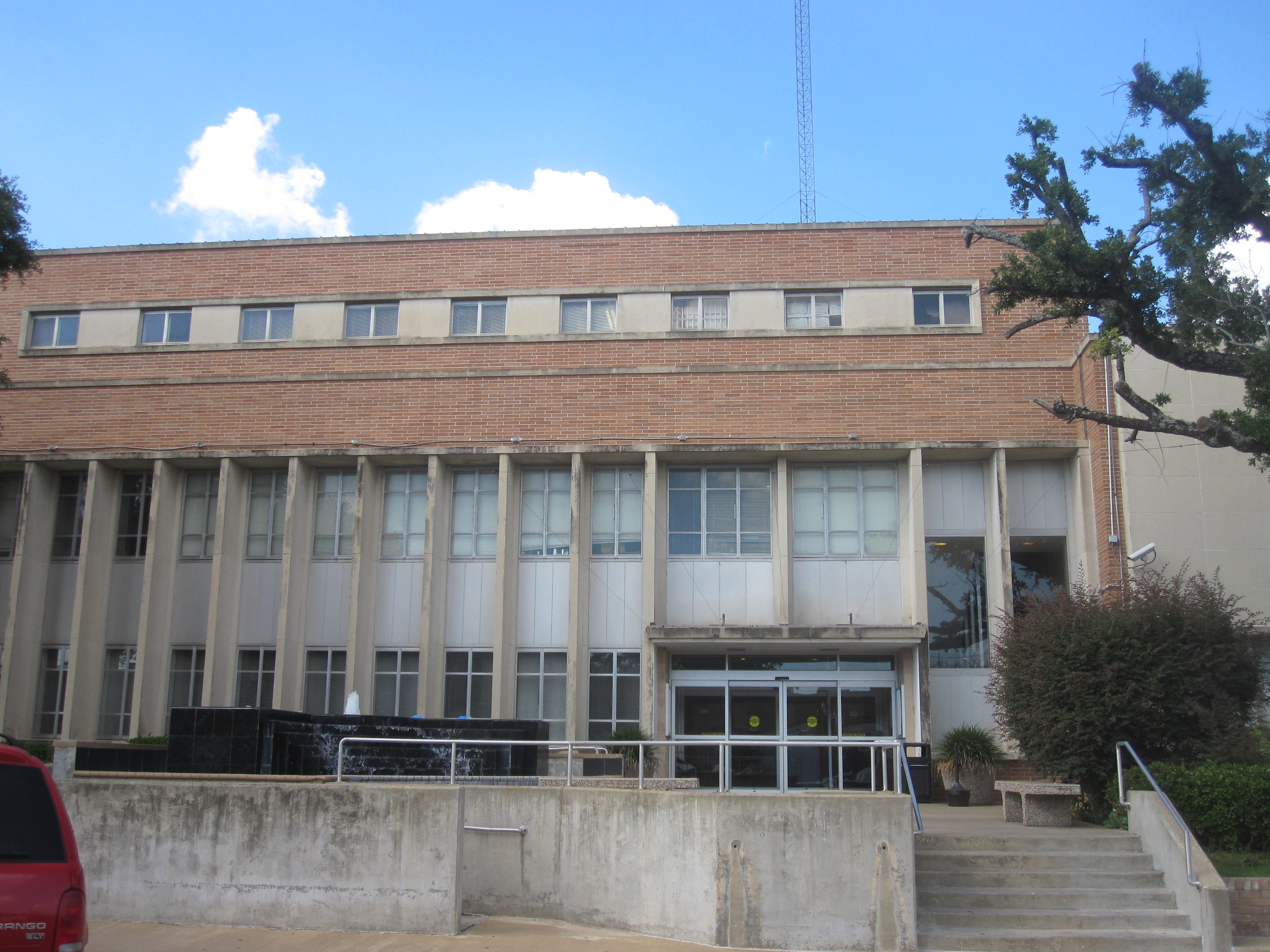
North Cotton Square in Lufkin, Texas
North Cotton Square in Lufkin is a residential street. It runs as a one-way street in a northwest-southeast direction starting from North Angelina Street and crosses South Cotton Square and ends at West Lufkin Avenue.
- Road Type
- residential street
- Route
- southeast-northwest
Image
Dentist offices
Collector shops
Boutiques
Furniture stores
Tattoo studios
Bakeries
Clothing stores
Department stores
Cafes
Wine shops
Fast food restaurants
Beauty salons
Pharmacies
Interior decorators
Nightclubs
Candle shops
Clinics
Restaurants
Bookstores
Streets nearby
North Angelina Street200 ft
South Angelina Street250 ft
West Lufkin Avenue250 ft
South Cotton Square300 ft
Ellis Avenue400 ft
North 2nd Street0.1 mi
East Lufkin Avenue0.1 mi
North Second Street0.1 mi
Culverhouse Street0.2 mi
Herndon Street0.2 mi
Magnolia Avenue0.2 mi
North First Street0.3 mi
East Grove Avenue0.3 mi
Cain Street0.3 mi
Antique stores nearby
Lufkin Antique Mall400 ft
Hicks Antiques & Estate Sales550 ft
Beauty salons nearby
Maricela's Day Spa250 ft
Buildings nearby
Lufkin ISD Administration200 ft
Lufkin Parks and Recreation300 ft
Lufkin Adult Learning Center350 ft
Kovar Capital450 ft
Cardy Law Offices500 ft
The Lufkin Daily News0.1 mi
Paul Robbins Law Office0.1 mi
Covington Credit0.1 mi
Commercial buildings nearby
Perry Brothers, Inc.250 ft
Rayonier250 ft
1st Street Wireless250 ft
Angelina Building350 ft
Denman Building350 ft
Angelina Jewelry & Repair350 ft
The Perry Building400 ft
Jackie Ray Photography400 ft
KRBA Radio450 ft
Toledo Finance Corporation500 ft
Sew Junkies550 ft
Rick's Sewing Machine Center550 ft
Atlas Credit Co.0.1 mi
B N Enterprises0.1 mi
Doctor's offices nearby
Dr. Kevin Farris500 ft
Event venues nearby
Regal Event Venue250 ft
Government buildings nearby
Deep East Texas Council of Governments400 ft
Jewelry stores nearby
Lufkin Jewelry on the Square0.1 mi
Movie theaters nearby
Pines Theater550 ft
Parks nearby
Cotton Square Mural Park150 ft
Public buildings nearby
Pitser Garrison Convention Center0.3 mi
Railways nearby
UP Lufkin Subdivision0.2 mi
Restaurants nearby
Downtown Cafe200 ft
Retail buildings nearby
HOP & S Graphics450 ft
Public transit map Lufkin Legend
| Railway | |
| Bus | |
| Streetcar |
Bicycle map Lufkin Legend
| Bike path | |
| Bike lane on roadway | |
| Cycling allowed on bus lane | |
| Bicycle street | |
| Open to cyclists | |
| Open to cyclists, good path | |
| Cycling prohibited | |
| Cobblestone |
| Long-distance bike route | (depending on scale) | |
| Long-distance bike route |
Pedestrian map Lufkin Legend
| Path |
| Long-distance hiking trail | (depending on scale) | |
| Long-distance hiking trail | ||
| Pedestrians prohibited |