
South Cotton Square in Lufkin, Texas
South Cotton Square in Lufkin is a residential street. It runs as a one-way street in an east-west direction starting from West Lufkin Avenue and crosses North Cotton Square and South Angelina Street and ends at Ellis Avenue.
- Road Type
- residential street
- Route
- east-west
Image
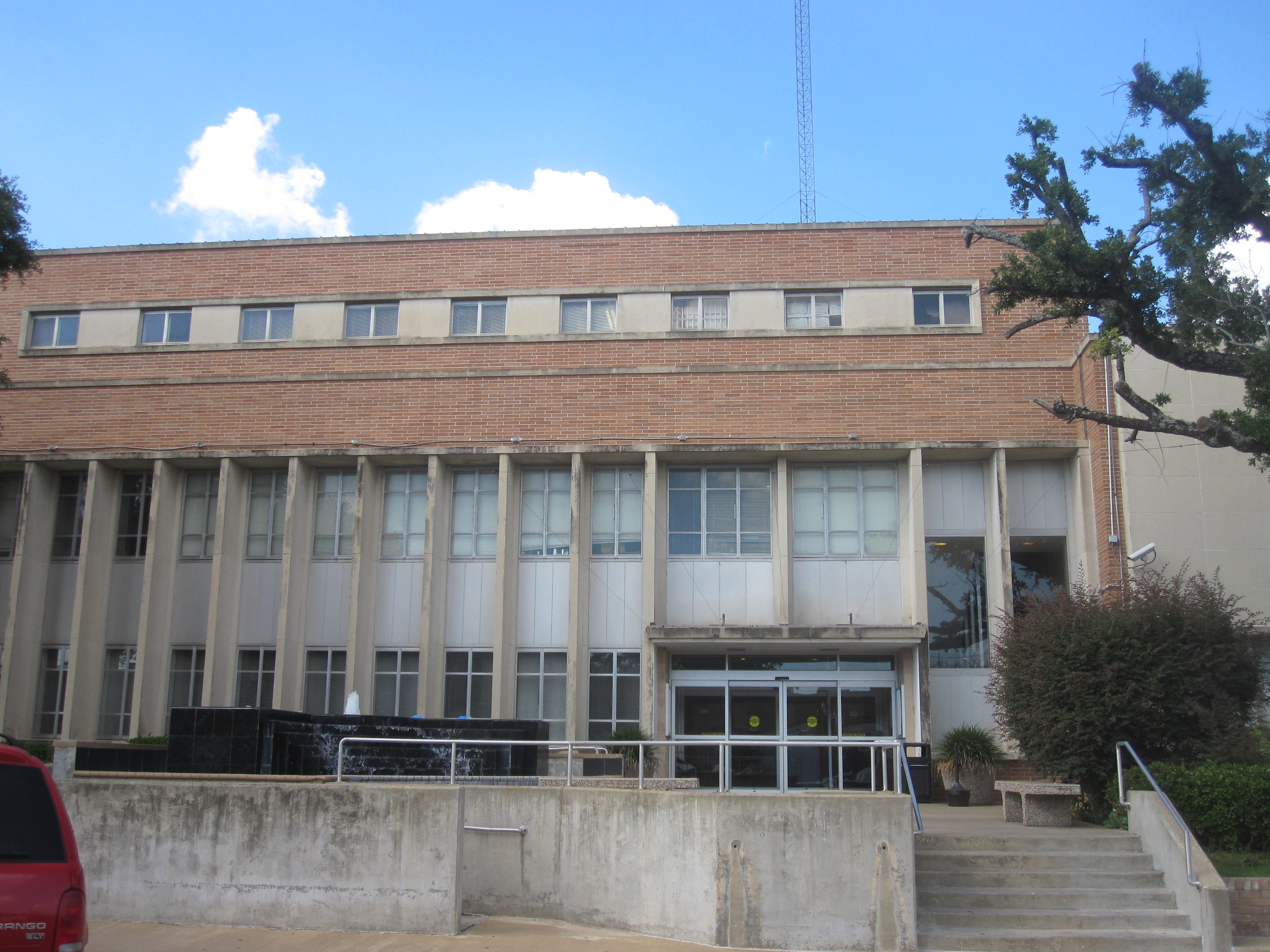
Dentist offices
Collector shops
Boutiques
Furniture stores
Tattoo studios
Bakeries
Clothing stores
Department stores
Cafes
Wine shops
Fast food restaurants
Beauty salons
Pharmacies
Nightclubs
Interior decorators
Candle shops
Clinics
Restaurants
Bookstores
Streets nearby
West Lufkin Avenue200 ft
West Shepherd Avenue350 ft
West Burke Avenue0.1 mi
South First StreetLufkin, Rubie & Jane Formal Wear, Custom Lamps & Shades, Texas Coin, Abram's Downtown, Standpipe Coffee House, Restoration Wine Bar, The Pink Leopard Boutique, Naranjo Museum of Natural History, Pamper My Nails, Crown Colony Food Mart, Grogan's Cleaners, Subway, Angelina College Roadrunner, Hole In One Cafe, Hunt Brothers Pizza
0.1 mi
East Burke Avenue0.2 mi
West Townsend Street0.2 mi
South Second Street0.2 mi
East Townsend Street0.2 mi
South Third Street0.2 mi
Elsie Street0.3 mi
Antique stores nearby
Burke Street Antiques0.2 mi
Banks nearby
Regions Bank500 ft
Regions ATM0.2 mi
Bank of America0.2 mi
Buildings nearby
Kovar Capital350 ft
Cardy Law Offices400 ft
Paul Robbins Law Office500 ft
Covington Credit500 ft
Kaye M Alderman0.1 mi
Edward Jones0.2 mi
Charanza Law Office, P.C.0.2 mi
Bus stations nearby
Jennings Station0.2 mi
Candy stores nearby
Confections350 ft
Churches nearby
New Covenant Love Outreach0.2 mi
Clothing stores nearby
Allure0.1 mi
Commercial buildings nearby
Angelina Jewelry & Repair100 ft
Jackie Ray Photography150 ft
KRBA Radio150 ft
The Perry Building200 ft
Sew Junkies250 ft
Southern Roots Boutique400 ft
Toledo Finance Corporation400 ft
Rick's Sewing Machine Center400 ft
Hotel Angelina450 ft
Atlas Credit Co.500 ft
Journey Magazine500 ft
Heritage Antiques550 ft
East Texas Asphalt Co.0.2 mi
Beacon Legal Support0.2 mi
Computer stores nearby
PC Medic of Lufkin0.2 mi
Furniture stores nearby
A Furniture Fetish450 ft
Keke's Closet0.2 mi
Government buildings nearby
Deep East Texas Council of Governments150 ft
Movie theaters nearby
Pines Theater350 ft
Police stations nearby
Lufkin Police Department0.2 mi
Retail buildings nearby
A-1 Party Rentals of Lufkin0.2 mi
The Grand on First0.2 mi
Sports centers nearby
Ultrafit Gym & Fitness Center0.1 mi
Town halls nearby
Lufkin City Hall0.2 mi
Public transit map Lufkin Legend
| Railway | |
| Bus | |
| Streetcar |
Bicycle map Lufkin Legend
| Bike path | |
| Bike lane on roadway | |
| Cycling allowed on bus lane | |
| Bicycle street | |
| Open to cyclists | |
| Open to cyclists, good path | |
| Cycling prohibited | |
| Cobblestone |
| Long-distance bike route | (depending on scale) | |
| Long-distance bike route |
Pedestrian map Lufkin Legend
| Path |
| Long-distance hiking trail | (depending on scale) | |
| Long-distance hiking trail | ||
| Pedestrians prohibited |