
Sierra Drive in Carrollton, Texas
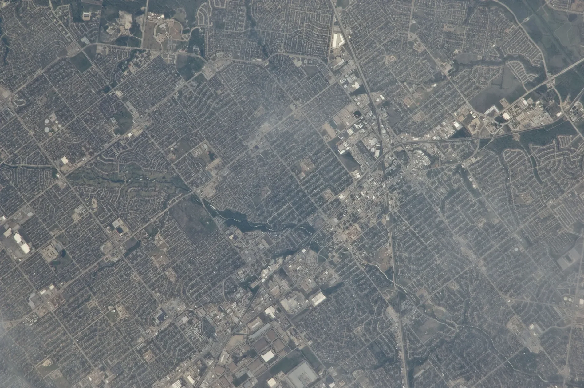
Sierra Drive in Carrollton is a residential street and runs in a northeast-southwest direction starting from San Francisco Street and ends at Cemetery Hill Road. Sierra Drive also exists in Lewisville, Irving, DeSoto and Seagoville.
- Road Type
- residential street
- Route
- northeast-southwest
Image
Restaurants
Tobacco shops
Convenience stores
Pet stores
Bus stops
Places of worship
Trash cans
Variety stores
Beverage stores
Veterinary clinics
Streets nearby
San Francisco Street350 ft
Kingspoint Drive450 ft
Hyde Court450 ft
Presidio Circle500 ft
Pacifica Street0.1 mi
Creekside Court0.2 mi
Cemetery Hill Road0.2 mi
Standridge Drive0.2 mi
Palisades Drive0.2 mi
Telegraph Hill Trail0.2 mi
East Frankford RoadFrankford @ Lockwood - W - NS, Frankford @ Lockwood - E - FS, Frankford @ Rolling Hills - E - NS, Frankford @ Standridge - W - NS, Frankford @ Standridge - W - MB, Frankford @ Luallen - E - FS, Frankford @ Furneaux - E - FS, Brakes Plus, Frankford @ Winterberry - W - NS, Frankford @ Stefani - W - NS, Care Plus Family Clinic, Moonlite Printing, Danzarte Academy, Frankford @ Post Oak - E - FS, Frankford @ Fairgate - W - FS, Frankford @ Cemetery Hill - E - NS, Frankford @ Standridge - E - FS, VIP Cleaners, Walgreens, Frankford @ Josey - W - FS, Kookaburra Bird Shop, North Carrollton Veterinary Hospital, Frankford @ Post Oak - W - NS, Frankford @ Josey - E - FS, The Ace Event Venue, Frankford @ Josey - E - MB, Frankford @ Honeydew - W - NS, Catfish House, Frankford @ Luallen - W - NS, Frankford @ Cemetery Hill - E - MB, TeaLatte Bar, Frankford @ Fairgate - E - NS, Frankford @ Honeydew - E - NS, Texaco, Frankford @ Scott Mill - W - FS
0.2 mi
Piedmont Place0.2 mi
Shadow Moss Way0.2 mi
Indigo Court0.2 mi
Lombard Street0.3 mi
Turtle Rock Court0.3 mi
Big Sur Drive0.3 mi
Riverside Drive0.3 mi
Saxony Place0.3 mi
McCoy Road0.3 mi
Bel Air Drive0.3 mi
Silverleaf DriveRedeemer Covenant Church
0.3 mi
Woodbury0.3 mi
Fairwind Court0.4 mi
Furneaux Creek Blue TrailTrash, Little Free Library, Frankford @ Cemetery Hill - W - NS, Manna Shabu, 99 Pocha
0.4 mi
Tree Line Drive0.4 mi
Sausalito Drive0.4 mi
Crooked Creek Drive0.4 mi
Myerwood0.4 mi
Haymeadow0.4 mi
Big Canyon Trail0.4 mi
Post Oak Lane0.4 mi
Irvine Drive0.5 mi
Goldrush Lane0.5 mi
Amesbury Court0.5 mi
Imperial Drive0.5 mi
Echo Court0.5 mi
Southern Oaks0.5 mi
Red Oak Lane0.5 mi
North Josey LaneCastle Hills Pediatric Dentistry, McDonald's, CVS Pharmacy, Rita's Italian Ice, Saigon Deli, Vital Essence Medical Spa, Chase, Hebron Family Dentistry, Castle Hills ER, Texas Credit Union, Center for Oral Pathology, Cafe Brazil, Anime Store, Joe's Pizza Pasta & Subs, Smoothie King, Trinity Pet Hospital, Fred's Downtown Philly, Kulsum's Speedy Shop #2, Shipley Donuts, UpTown Barbers, ROOT Periodontal and Implant Center - Carrollton, Pizza Hut, One Stop Food Store, Josey Medical Clinic, Blanco's Flawless Cuts, Massage Reflexology, Global Dental, Leslie's Pool Supplies, Kyodai Handroll & Seafood Bar, GaneStop, Petco, Fuzzy's Taco Shop, Domino's, Jersey Mike's, Great Clips, Cato, Smoke Shop, Poolwerx, Subway, Paparazzi Pizza, Wells Fargo, Tobacco Beer & Wine, Ranch IV Donuts, Silk Nails & Spa, Watermill Express, AutoZone
0.5 mi
Stain Glass Court0.5 mi
Lookout Place0.5 mi
Rockett Drive0.5 mi
Green Ridge Drive0.5 mi
Green Ridge Court0.5 mi
Orange Trail0.6 mi
Arcadia Lane0.6 mi
Public transit map Carrollton Legend
| Railway | |
| Bus | |
| Streetcar |
Bicycle map Carrollton Legend
| Bike path | |
| Bike lane on roadway | |
| Cycling allowed on bus lane | |
| Bicycle street | |
| Open to cyclists | |
| Open to cyclists, good path | |
| Cycling prohibited | |
| Cobblestone |
| Long-distance bike route | (depending on scale) | |
| Long-distance bike route |
Pedestrian map Carrollton Legend
| Path |
| Long-distance hiking trail | (depending on scale) | |
| Long-distance hiking trail | ||
| Pedestrians prohibited |