
Saxony Place in Carrollton, Texas
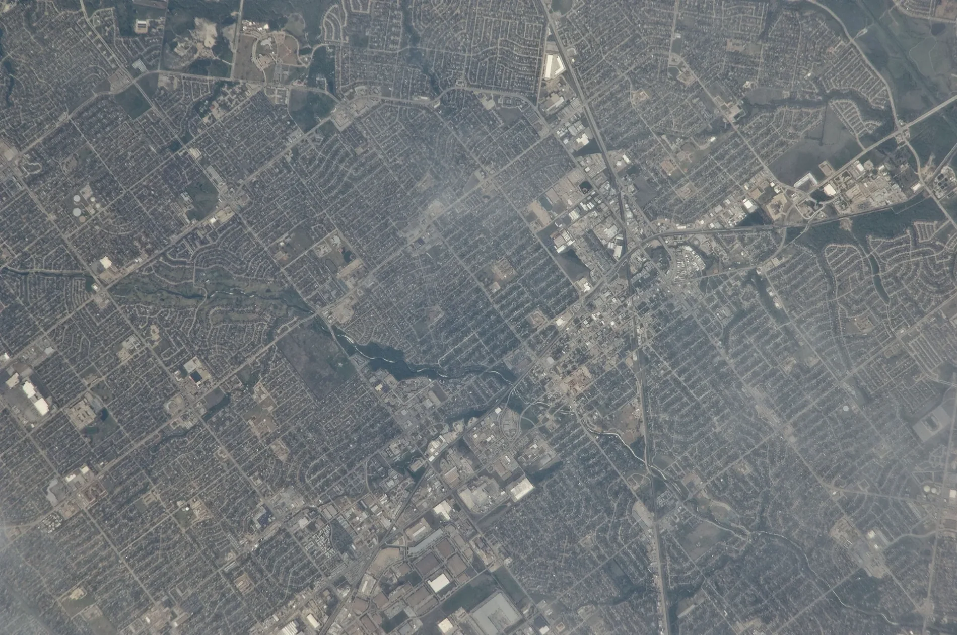
Saxony Place in Carrollton is a residential street and it runs in an east-west direction starting from Silverleaf Drive and ends in a cul-de-sac.
- Road Type
- residential street
- Route
- east-west
Image
Places of worship
Supermarkets
Vape shops
Cafes
Bus stops
Restaurants
Trash cans
Hardware stores
Dry cleaners
Post offices
Streets nearby
Silverleaf DriveRedeemer Covenant Church
200 ft
Fairwind Court400 ft
Shadow Moss Way400 ft
Standridge Drive0.1 mi
Sugar Creek Drive0.2 mi
Sunnyslope Drive0.2 mi
Steenson Drive0.2 mi
Sugarbush Lane0.2 mi
Pacifica Street0.2 mi
Bellflower Lane0.2 mi
Hyde Court0.2 mi
McCoy Road0.2 mi
Presidio Circle0.2 mi
Lombard Street0.2 mi
San Francisco Street0.3 mi
East Peters Colony RoadFirst Church of the Nazarene, Little Free Library
0.3 mi
Joy Drive0.3 mi
Kingspoint Drive0.3 mi
Riverside Drive0.3 mi
Concord Drive0.3 mi
Sierra Drive0.3 mi
Honeydew Drive0.3 mi
Concord Place0.3 mi
Walker Place0.3 mi
Big Sur Drive0.3 mi
Walker Drive0.3 mi
Bel Air Drive0.3 mi
Bellflower Drive0.4 mi
Cemetery Hill Road0.4 mi
Palisades Drive0.4 mi
Luallen Drive0.4 mi
Furneaux Creek Blue TrailFrankford @ Cemetery Hill - W - NS, Trash, Little Free Library, Manna Shabu, 99 Pocha
0.4 mi
Mayfair Drive0.4 mi
East Frankford RoadFrankford @ Lockwood - W - NS, Frankford @ Lockwood - E - FS, Frankford @ Rolling Hills - E - NS, Frankford @ Standridge - W - NS, Frankford @ Standridge - W - MB, Frankford @ Luallen - E - FS, Frankford @ Furneaux - E - FS, Brakes Plus, Frankford @ Winterberry - W - NS, Frankford @ Stefani - W - NS, Care Plus Family Clinic, Moonlite Printing, Danzarte Academy, Frankford @ Post Oak - E - FS, Frankford @ Fairgate - W - FS, Frankford @ Cemetery Hill - E - NS, Frankford @ Standridge - E - FS, VIP Cleaners, Walgreens, Frankford @ Josey - W - FS, Kookaburra Bird Shop, North Carrollton Veterinary Hospital, Frankford @ Post Oak - W - NS, Frankford @ Josey - E - FS, The Ace Event Venue, Frankford @ Josey - E - MB, Frankford @ Honeydew - W - NS, Catfish House, Frankford @ Luallen - W - NS, Frankford @ Cemetery Hill - E - MB, TeaLatte Bar, Frankford @ Fairgate - E - NS, Frankford @ Honeydew - E - NS, Texaco, Frankford @ Scott Mill - W - FS
0.4 mi
Mayflower Drive0.4 mi
Irvine Drive0.4 mi
Creekside Court0.4 mi
Telegraph Hill Trail0.4 mi
Homestead Court0.4 mi
Golden Gate Court0.4 mi
Alpine Drive0.4 mi
Cutler Place0.4 mi
Sugarbush Drive0.4 mi
Fairgate Drive0.4 mi
Golden Gate Drive0.4 mi
Derby Run0.5 mi
Knollview Lane0.5 mi
Landover Drive0.5 mi
Religious areas nearby
Carrollton West Church of Christ0.3 mi
Public transit map Carrollton Legend
| Railway | |
| Bus | |
| Streetcar |
Bicycle map Carrollton Legend
| Bike path | |
| Bike lane on roadway | |
| Cycling allowed on bus lane | |
| Bicycle street | |
| Open to cyclists | |
| Open to cyclists, good path | |
| Cycling prohibited | |
| Cobblestone |
| Long-distance bike route | (depending on scale) | |
| Long-distance bike route |
Pedestrian map Carrollton Legend
| Path |
| Long-distance hiking trail | (depending on scale) | |
| Long-distance hiking trail | ||
| Pedestrians prohibited |