
Denton County, Texas
Denton County is located in Texas. About 906,422 people live here (as of 2020). Between 2010 and 2020, the population grew from 662,614 to 906,422. The area covers about 2,481.0 square kilometers. The region is divided into 34 Municipalities. The region was founded in 1846. The name originates from John B. Denton (Methodist Episcopal Church minister) Denton County is county in Texas, United States. More information at www.dentoncounty.gov.
Denton County – Facts
| Population | 906422 |
|---|---|
| Area | 2481 km² |
| Subregions | 34 |
| Named after | John B. Denton |
| Year built | 1846 |
| Located in | Texas |
| Country | United States |
| Native name | Denton County |
| Described by | The American Cyclopædia |
| Website | https://www.dentoncounty.gov/ |
Data source: Wikidata (CC0)
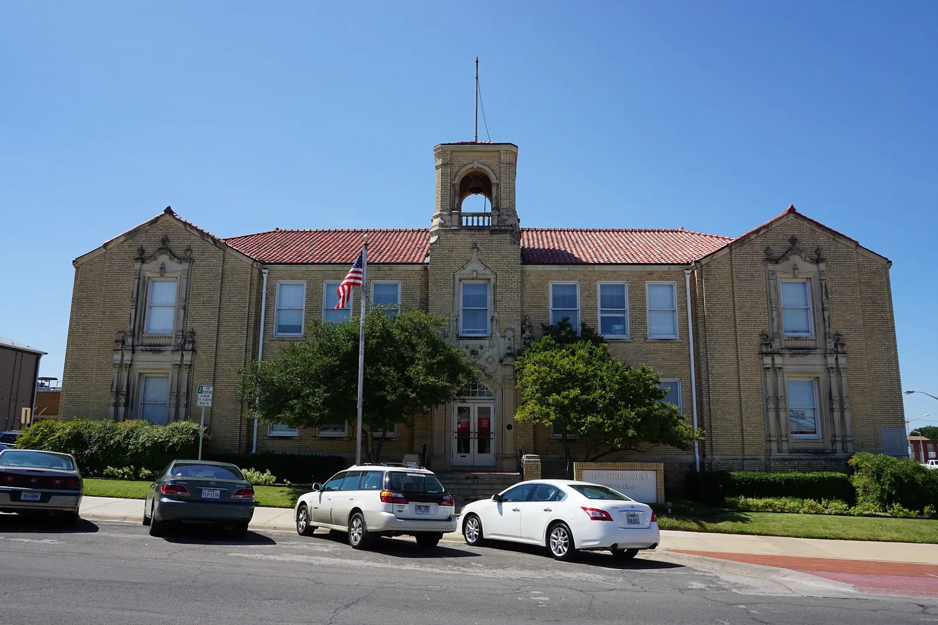
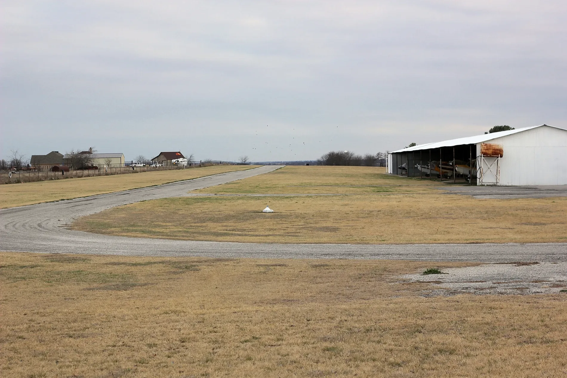
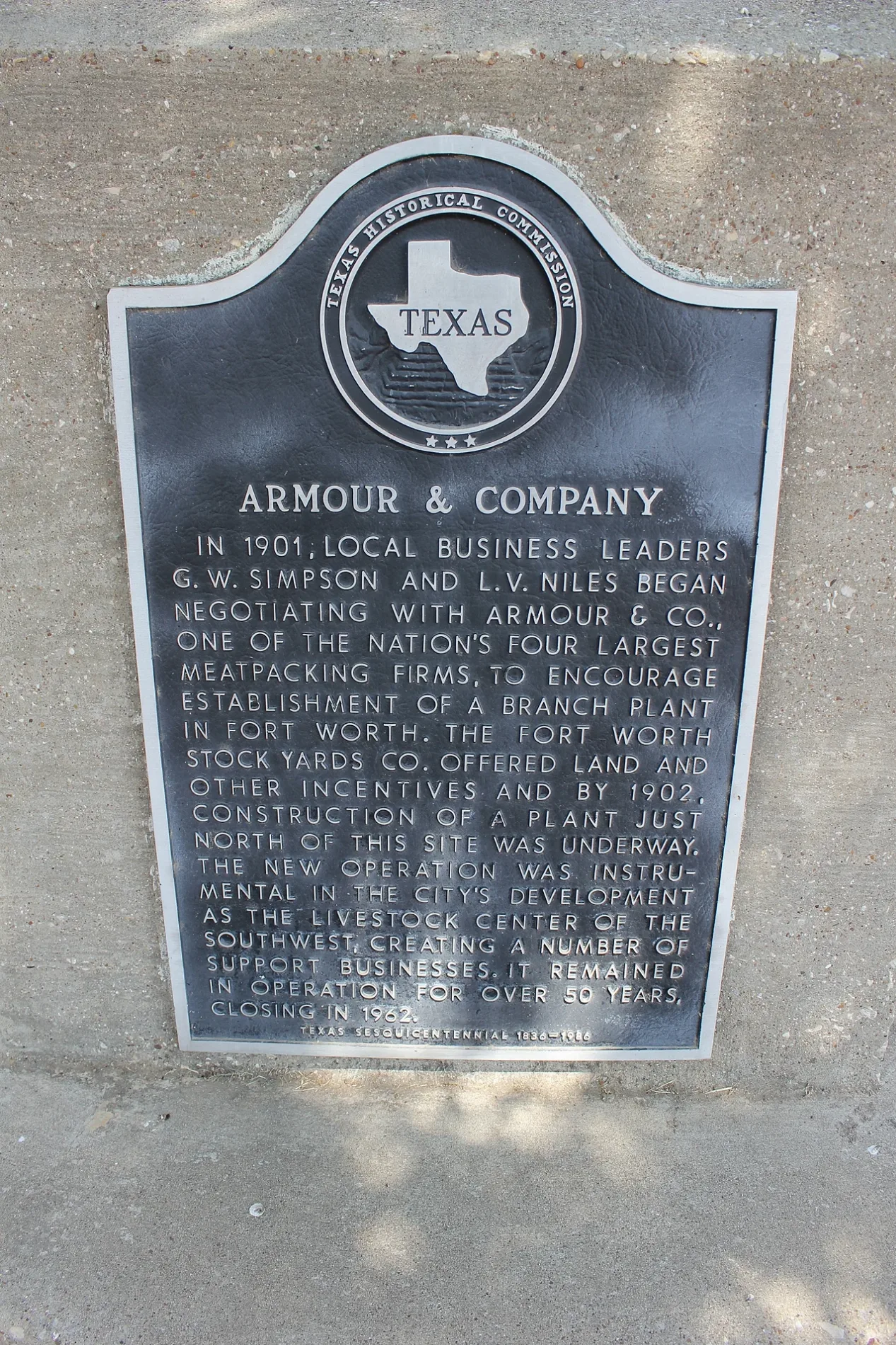
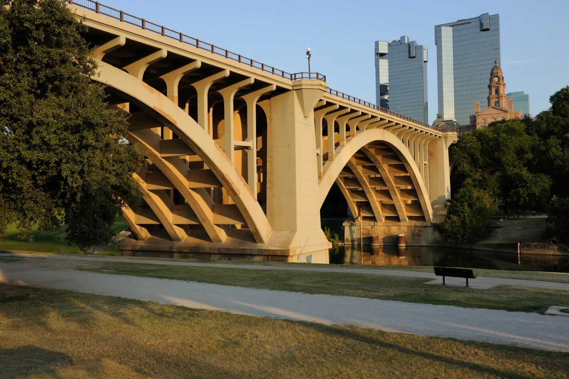
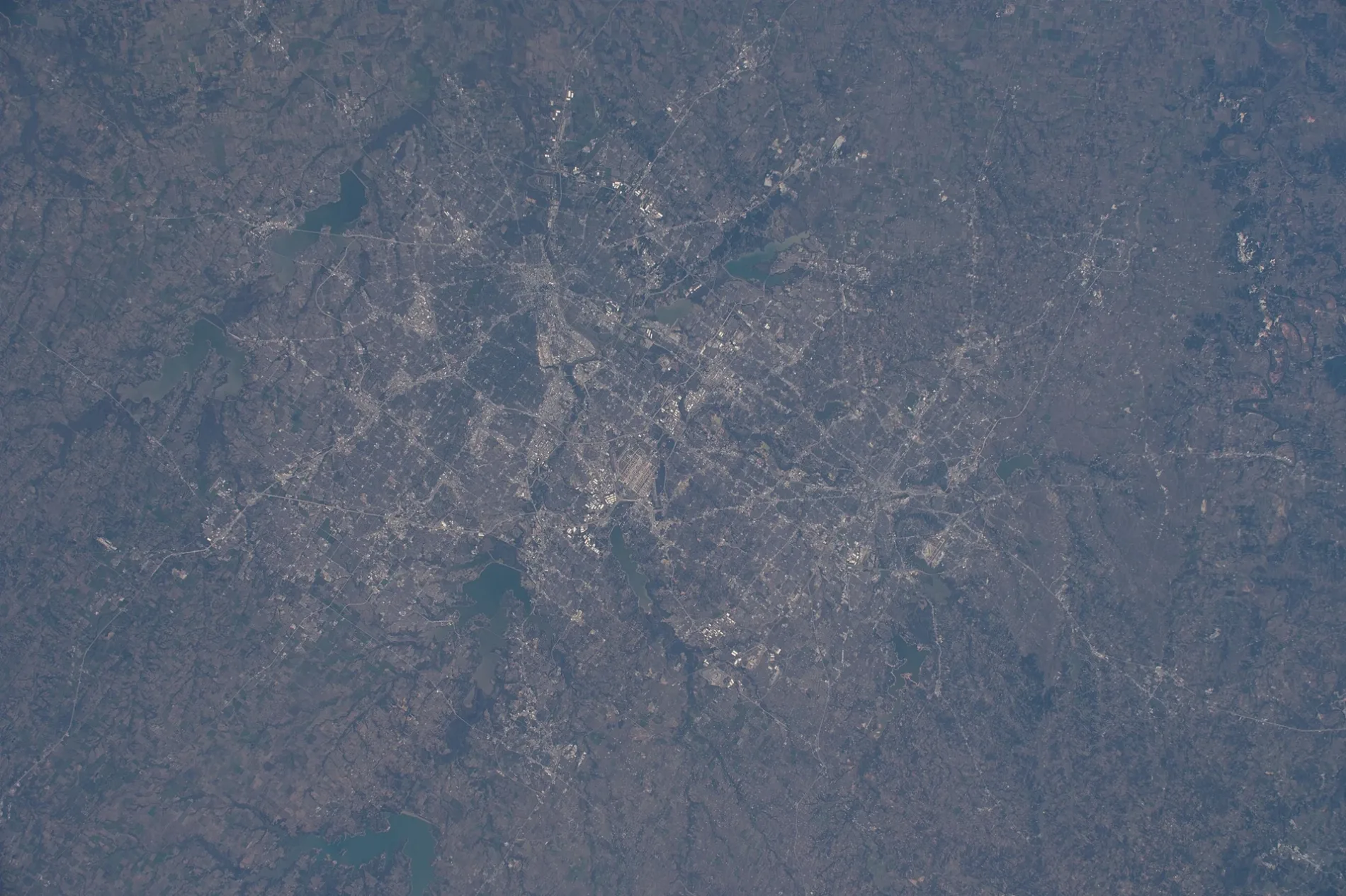
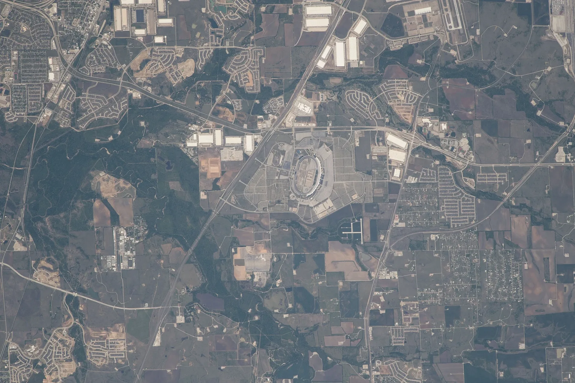
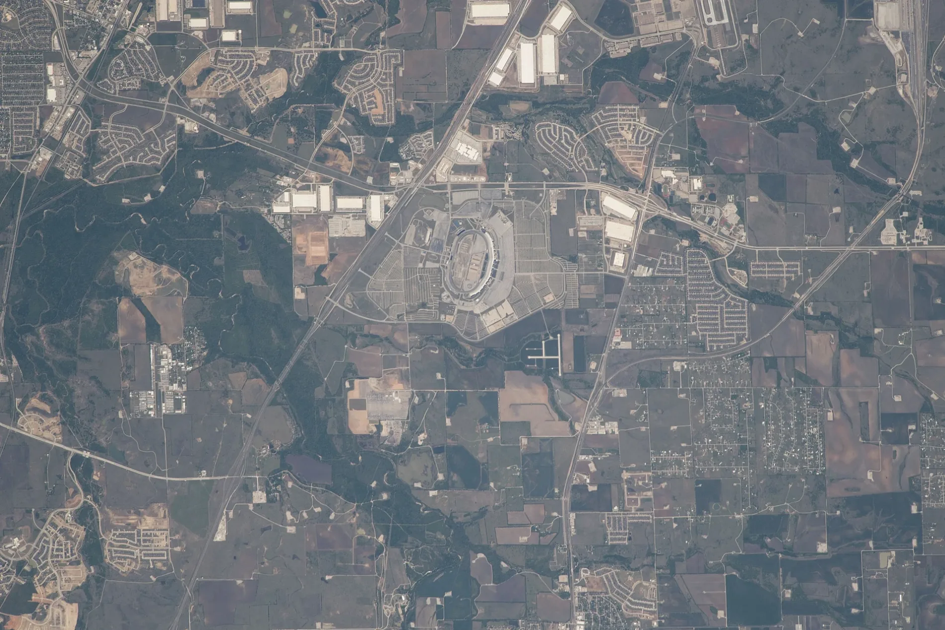
Photos from Denton County


Municipalities in Denton County, Texas
Streets in Denton County, Texas
Streets
Deer Ridge Circle
81, 82, 83, 84, 85, 86, 87, 88, 89, 90, 91, 92, 93, 94, 95, 96, 97, 98, 99, 100, 101, 102, 103, 104, 105, 106, 107, 108, 109, 110, 111, 112, 113, 114, 115, 116, 42, 44, 45, 46, 47, 48, 49, 50, 51, 52, 53, 54, 55, 56, 57, 58, 59, 60, 61, 62, 63, 64, 65, 66, 67, 68, 70, 69, 71, 72, 73, 74, 76, 77, 78, 79, 80
US Highway 380 EastVilla Grande, Pooky's Famous Yogurt, Rice Pot Express, Domino's, Baker's Dozen Donuts, AutoZone, Taco Bell, Asana Dental, Walgreens, Dental Depot, Vibes Vapor CBD, The Monk’s, Smoothie King, Wing Dash, Enterprise
Bluffview Circle171, 172, 173, 174, 175, 176, 177, 178, 179, 180, 181, 182
Hickory Creek BoulevardChase, V.Star Nails, GameStop, Cato, Wok to You, Metro by T-Mobile, Domino's
Swisher RoadTexas Health Family Care, Ciera Bank, Daisy Dental, Palio's Pizza Cafe, Verizon, iNails & Spa, City Hospital, Starbucks
Randy Bell Scenic Trail1, 2, 3, 8, 41, 43
Hawthorn Circle16, 7, 6, 4, 5
Ronald Reagan AvenueCornerstone Dental and Orthodontics Corinth, Subway, Rice Pot Express, Sport Clips
East Hundley DriveLake Dallas Intermediate School, Lake Dallas Middle School, Lake Shore Baptist Church
Wagon Wheel Crossing183, 184
Lathem DriveTow-Knights
Elm Fork Trail15
Ike Byrom RoadNorth Texas Ultrasonic
Cleveland Gibbs RoadDenton County ESD 1 Station 514
Farm-to-Market Road 1385Mustang, Costco Gasoline
South Paloma Creek BoulevardE-Z Mart
Blackjack Road EastPit Crew Cycle Center
Boss Range RoadJustin Elementary School
Redfearn RoadAlsups
FM 1830New Hope Equine Assisted Therapy
Tucker StreetTeresa’s House Assisted Living & Memory Care
Matchbox StreetPrairie Mound Church
FM 455 EastExxon
Leatherwood LaneHickory Creek Baptist Church
South Bonnie Brae StreetArchery Hill
Fishtrap RoadElm Ridge Church, Cooper Creek
Rockhill RoadRock Hill Church
Point Vista StreetFounders Classical Academy - Corinth
Justin RoadStarbucks
Knight LaneBrown Chapel
Willow Creek Court
Foot Bridge
Cottontail Drive
Pinehurst Drive
Fox Glove Circle
Bent Brook Road
Edith-Louise Drive
Weston LaneBrenham
Frisco Ranch Road
Spoonbill Drive
Clovis Road
Echo Summit Drive
Long Park Avenue
Buttercup Lane
Bitterroot Road
Montello Lane
Ward Avenue
Copperhead Road
Sedona Street
Hartlee Field Road
Dugas Road
Red Oak Circle
Buttercup Avenue
Griffith Court
Dublin Drive
Oak Lawn Lane
Trails End Road
Wagon Trail
Southwind Place Lane
Running Bear Road
Oak Meadow Lane
Horseshoe Court
Brittany Hill Road
Sycamore Drive
Wild Plum Lane
Water Cana Drive
Cambridge Drive
Highland Circle
Plagge Road
Lone Oak Court
Midnight Lane
Carter Street
Allston Drive
South Oak DriveCar washes
Convenience stores
Places of worship
Streams
Important and frequently searched streets
Diamond Road Public transit map Denton County Legend
| Railway | |
| Bus | |
| Streetcar |
Bicycle map Denton County Legend
| Bike path | |
| Bike lane on roadway | |
| Cycling allowed on bus lane | |
| Bicycle street | |
| Open to cyclists | |
| Open to cyclists, good path | |
| Cycling prohibited | |
| Cobblestone |
| Long-distance bike route | (depending on scale) | |
| Long-distance bike route |
Pedestrian map Denton County Legend
| Path |
| Long-distance hiking trail | (depending on scale) | |
| Long-distance hiking trail | ||
| Pedestrians prohibited |