
Clark Airfield in DISH, Texas
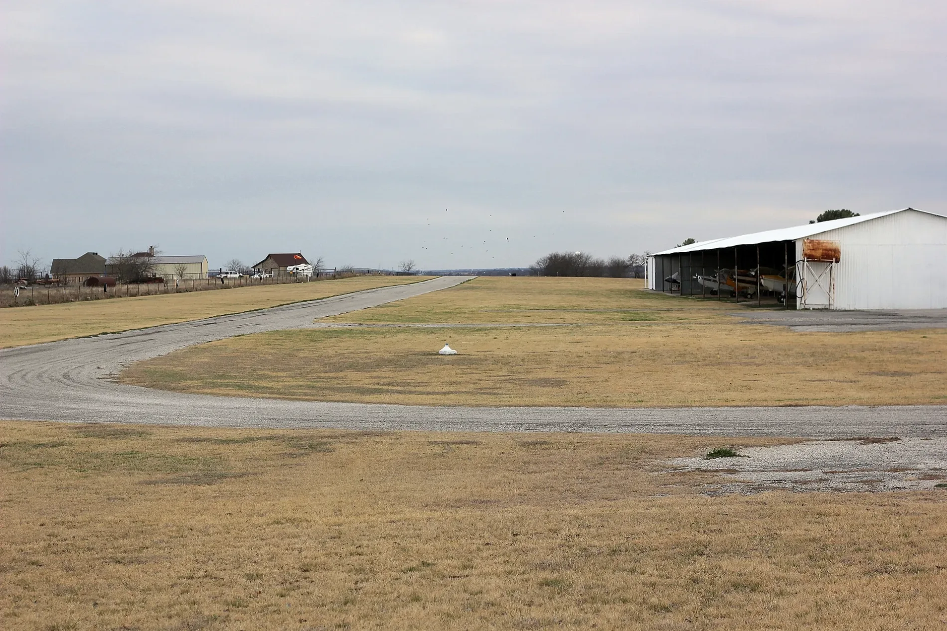
Clark Airfield in DISH is a service road (private). It runs in a north-south direction starting from Eakin Cemetery Road.
- Road Type
- service road
- Route
- north-south
Image
Streets nearby
Tim Donald Road0.2 mi
Austin Drive0.3 mi
Meadow Ranch Road0.3 mi
Whitcombe Drive0.4 mi
Virginia Drive0.4 mi
Wilton Terrace0.5 mi
Little Field Drive0.5 mi
Porter Lane0.5 mi
Clifton Terrace0.6 mi
Eakin Cemetery Road0.6 mi
Hereford Drive0.6 mi
Longhorn Drive0.6 mi
Bluestem Lane0.7 mi
Saddle Court0.7 mi
Ge Horton Road0.7 mi
Strader Lane0.7 mi
Hovenkamp Lane0.8 mi
Angus Drive0.8 mi
Prairie Sky Lane0.9 mi
Ranch Road0.9 mi
Indian Paintbrush Street1.0 mi
Brahma Drive1.1 mi
Prairie Hill Court1.1 mi
Countryside Lane1.2 mi
Strader Road1.2 mi
Cemetery1.2 mi
Farm-to-Market Road 1561.3 mi
Swafford Road1.3 mi
Alamo Drive1.3 mi
Helton Road1.5 mi
Spud Luck Lane1.5 mi
Sunfire Lane1.5 mi
V Ranch Road1.6 mi
Linnie Bell Road1.6 mi
Emu Lane1.6 mi
Hillside Loop North1.6 mi
Spotted Dog Lane1.6 mi
Blair Road1.6 mi
Hillside Loop South1.7 mi
Holder Road1.7 mi
Wakefield Road1.9 mi
Florance Road1.9 mi
Stardust Lane2.0 mi
Webb Road2.0 mi
South Double Rock Road2.1 mi
Leslie Circle2.2 mi
Cemeteries nearby
Akain Cemetery1.2 mi
Railways nearby
BNSF Fort Worth Subdivision1.2 mi
Rivers nearby
Denton Creek1.3 mi
 Public transit map DISH Legend
 | Railway | |
| Bus | |
| Streetcar |
 Bicycle map DISH Legend
 | Bike path | |
| Bike lane on roadway | |
| Cycling allowed on bus lane | |
| Bicycle street | |
| Open to cyclists | |
| Open to cyclists, good path | |
| Cycling prohibited | |
| Cobblestone |
| Long-distance bike route | (depending on scale) | |
| Long-distance bike route |
 Pedestrian map DISH Legend
 | Path |
| Long-distance hiking trail | (depending on scale) | |
| Long-distance hiking trail | ||
| Pedestrians prohibited |