
East Mulberry Street in Denton, Texas
East Mulberry Street in Denton is a two-lane unclassified road. It runs in an east-west direction starting from West Mulberry Street and crosses South Locust Street, South Austin Street, Industrial Street and Russell Street and ends at South Bell Avenue. East Mulberry Street also exists in Brazoria County, Fannin County, Grayson County, Sutton County and Gillespie County.
- Road Type
- unclassified road
- Lanes
- 2
- Route
- east-west
Image
Bus stops
Hair salons
Artworks
Candy stores
Tourist information centers
Restaurants
Copy shops
Bars
ATMs
Banks
Vape shops
Bookstores
Antique stores
Streets nearby
Industrial Street50 ft
East Sycamore Street400 ft
Russell Street400 ft
East Hickory StreetGyro 360, Pickled Carrot, First State Bank, Queenie's Steakhouse, NCTC Campus, Clean Energy, EB Hickory @ Bradshaw, WB Hickory @ Bradshaw, EB Hickory @ Wood, Spiral Diner, WB Hickory @ City Hall E
400 ft
South Austin Street500 ft
East Walnut StreetWells Fargo
0.1 mi
North Locust StreetBright Mosaic - Locust, Hillcrest Baptist Church, Denton Music Workshop, Barley & Board, 3rd St, November Devil
0.1 mi
South Elm StreetVelo Republic, Jack's Tavern
0.2 mi
West Walnut StreetSweetwater Grill
0.2 mi
West Sycamore Street0.2 mi
South Cedar StreetThai Squared, Solutions NTX Therapeutic Massage
0.2 mi
South Bell Avenue0.2 mi
Warren CourtTen One
0.3 mi
South Locust StreetSalon NV, Family Dollar, Amici Salon, Gene's Paint & Body Shop, Kolache Haven, Candy Haven & Cakes, Arch
0.3 mi
Highland Street0.3 mi
Wainwright Street0.3 mi
Amenities nearby
Dan's Silverleaf300 ft
Apartment buildings nearby
Pecan Place Apartments0.2 mi
Square 90.2 mi
Auto repair shops nearby
Shine It Auto Detail350 ft
Banks nearby
Wells Fargo0.1 mi
DATCU Credit Union0.2 mi
Bars nearby
Steve's Wine Bar250 ft
Kava Culture Kava Bar250 ft
Buildings nearby
TRT Communications, Inc.500 ft
North Texas Foot & Ankle Specalists0.1 mi
Hooligan's Bar0.1 mi
LSA Burger0.2 mi
Suites at 121 W Hickory0.2 mi
Sherman Building0.2 mi
Cafes nearby
Jupiter House0.1 mi
Clothing stores nearby
Old Bear On The Square0.1 mi
Convenience stores nearby
Zoom-Zooms0.2 mi
Courthouses nearby
Historic Denton County Courthouse0.2 mi
Florists nearby
True Leaf Studio0.1 mi
Frame shops nearby
Cadillac Art & Frame0.3 mi
Gardens nearby
Bill Crouch Garden0.1 mi
Office buildings nearby
The Bank Building0.1 mi
Parks nearby
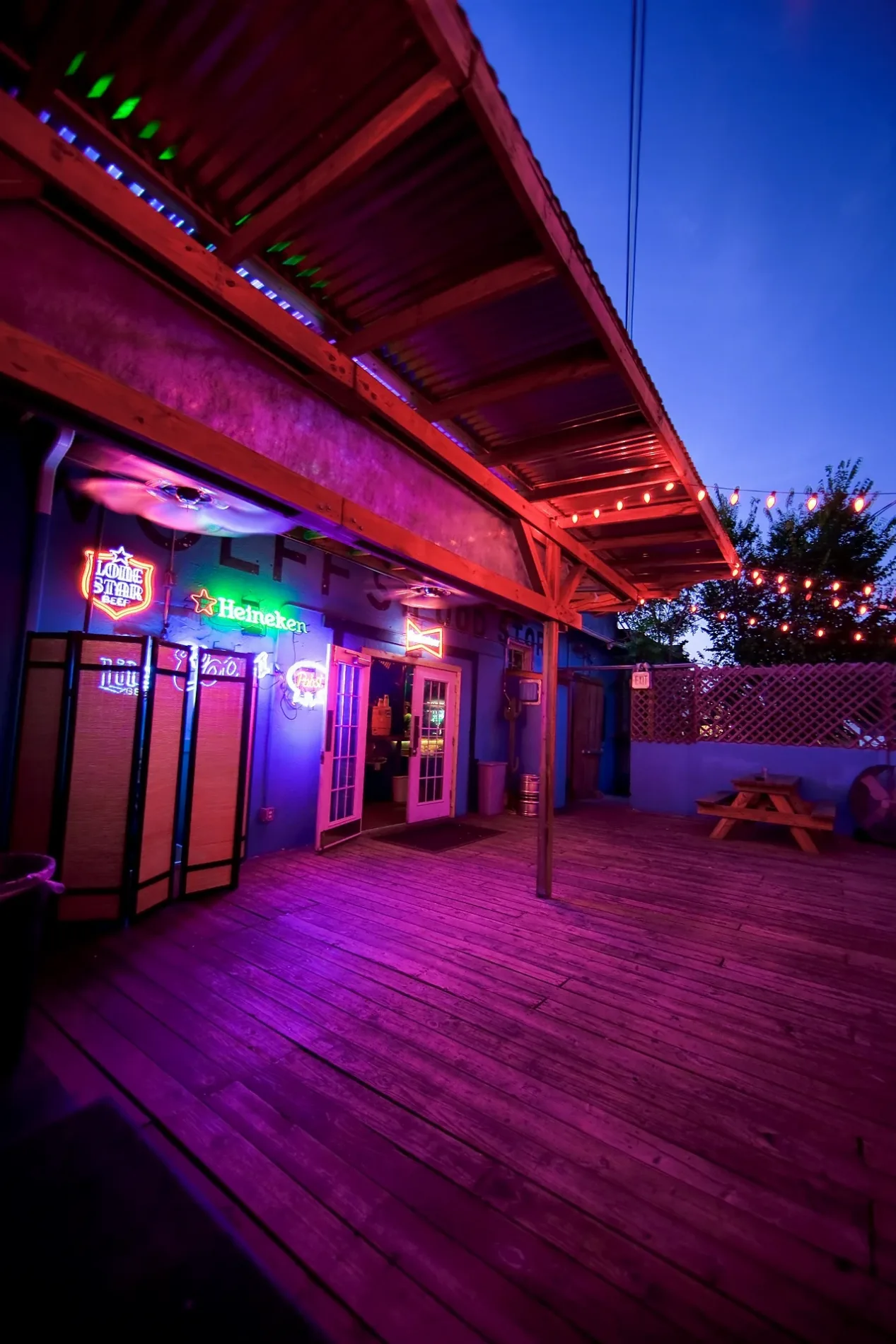
Wolff’s Park200 ft
Historical Denton Square0.2 mi
Places of worship nearby
First United Methodist Church0.1 mi
Restaurants nearby
Fuzzy's Tacos200 ft
Rooster's Roadhouse250 ft
Hoochies300 ft
Rusty Taco300 ft
El Taco H500 ft
Retail buildings nearby
Discover Denton0.2 mi
Technical colleges nearby
North Central Texas College350 ft
Toy stores nearby
Minifigs Bricks and More0.2 mi
Public transit map Denton Legend
| Railway | |
| Bus | |
| Streetcar |
Bicycle map Denton Legend
| Bike path | |
| Bike lane on roadway | |
| Cycling allowed on bus lane | |
| Bicycle street | |
| Open to cyclists | |
| Open to cyclists, good path | |
| Cycling prohibited | |
| Cobblestone |
| Long-distance bike route | (depending on scale) | |
| Long-distance bike route |
Pedestrian map Denton Legend
| Path |
| Long-distance hiking trail | (depending on scale) | |
| Long-distance hiking trail | ||
| Pedestrians prohibited |