
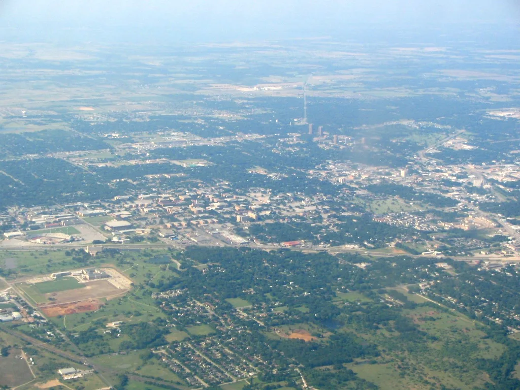
McCormick Street in Denton, Texas
McCormick Street in Denton is a residential street. It runs in a north-south direction starting from Eagle Drive and ends at Fannin Street. McCormick Street also exists in Bexar County, Brazoria County and Colorado County.
- Road Type
- residential street
- Speed Limit
- 30 mph
- Route
- north-south
Image
Artworks
Bicycle parking
Banks
Bus stops
- bus lines PEA, PEB
Fast food restaurants
Cafes
Streets nearby
South Avenue BGAB
400 ft
Eagle DriveHonors Hall, EB Eagle @ Kendolph, EB Eagle @ McCormick, Access Bank, EB Eagle @ Bernard
500 ft
Margie Street550 ft
Collier Street0.1 mi
Maple StreetWB Maple @ Ave A, Maple Hall, Kerr Hall / BLB, Bike rack, Christ Community Church
0.2 mi
Central Avenue0.2 mi
West Highland StreetDelta Gamma (ΔΓ), Kappa Delta (ΚΔ), The Sustaining Arch, The Shield, Scrappy on a bench, HS Garage
0.3 mi
Kendolph Street0.3 mi
Apartment buildings nearby
Eagle Apartments400 ft
Avenue B Apartments550 ft
McKenzie Place0.1 mi
Car washes nearby
Eagle Car Wash0.3 mi
Dormitories nearby
Joe Greene Hall (JGH)300 ft
Kerr Hall (KERR)0.1 mi
Maple Hall (MAPL)0.2 mi
Crumley Hall (CRUM)0.2 mi
Honors Hall (HNRS)0.2 mi
Clark Hall (CLAR)0.3 mi
Food courts nearby
Eagle Landing (EAGL)0.2 mi
Fountains nearby
Jody's Fountain0.3 mi
Gardens nearby
Buisness Leadership Building (BLB) Zen garden0.2 mi
Laundries nearby
North Texas Laundromat0.1 mi
Roy's Wash-N-Dry0.1 mi
Libraries nearby
Willis Library (LIBR)0.3 mi
Parking lots nearby
Highland Street Parking Garage (TS)0.2 mi
Parks nearby
Clark Park0.3 mi
Places of worship nearby
Saint john Paul II University Parish100 ft
John Paul II Catholic Campus Center300 ft
Methodist Student Center (MSC)0.2 mi
Goolsby Chapel (CHAP)0.2 mi
Residential areas nearby
Warehouse Apartments400 ft
Sunset Place0.1 mi
Sleepy Hollow0.1 mi
Crash Pads Apartments II0.2 mi
Restaurants nearby
Mean Greens0.2 mi
Oriental Express0.2 mi
University buildings nearby
Welcome Center (WCTR)0.1 mi
Business Leadership Building (BLB)0.2 mi
Support and Services Building (SSB)0.2 mi
Clark Bakery0.2 mi
Matthews Hall (MATT)0.2 mi
Wooten Hall (WH)0.3 mi
Eagle Student Services Center (ESSC)0.3 mi
University Union (UU)0.3 mi
Music Annex (MUSA)0.3 mi
Music Practice South (MPS)0.3 mi
Baptist Student Ministry (BSU)0.3 mi
Music Practice North (MPN)0.3 mi
Hurley Administration Building (ADMN)0.4 mi
 Public transit map Denton Legend
| Railway | |
| Bus | |
| Streetcar |
 Bicycle map Denton Legend
| Bike path | |
| Bike lane on roadway | |
| Cycling allowed on bus lane | |
| Bicycle street | |
| Open to cyclists | |
| Open to cyclists, good path | |
| Cycling prohibited | |
| Cobblestone |
| Long-distance bike route | (depending on scale) | |
| Long-distance bike route |
 Pedestrian map Denton Legend
| Path |
| Long-distance hiking trail | (depending on scale) | |
| Long-distance hiking trail | ||
| Pedestrians prohibited |