
Misty Meadow Drive South in Fort Worth, Texas
Misty Meadow Drive South in Fort Worth is a residential street. It runs in a northeast-southwest direction starting from Misty Meadow Drive and crosses Alexandria Court, Woodmoor Road, Santa Rita Drive, Holly Springs Drive, Del Rio Drive, Biloxi Drive, Southridge Trail, Memphis Lane, Misty Court and Blue Grass Lane and ends at West Cleburne Road.
- Road Type
- residential street
- Route
- northeast-southwest
Image
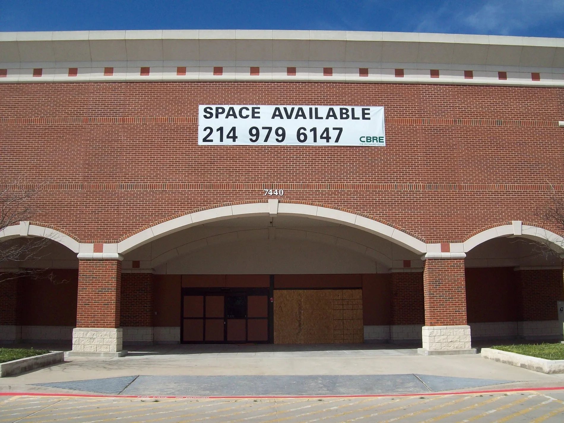
Fast food restaurants
Department stores
Places of worship
Clothing stores
Bus stops
Pharmacies
Car washes
Cell phone stores
Streets nearby
Biloxi Drive300 ft
Del Rio Court350 ft
Key West Court500 ft
Misty Court550 ft
Southridge Trail0.1 mi
Del Rio Drive0.1 mi
Memphis Lane0.1 mi
Holly Springs Drive0.1 mi
Blue Grass Lane0.2 mi
South Court0.2 mi
Green Ridge Street0.2 mi
Santa Rita Drive0.2 mi
Natchez Court0.2 mi
Meadowmoor Street0.2 mi
Santa Rita Court0.2 mi
Sycamore School RoadFamily Medicine, Sycamore School & Cleburne, Sycamore School & Coachwood, Sycamore School & Weatherwood, Sycamore School & Samantha, Sycamore School & Ashbourne, Sycamore Dental, Care & Care Pharmacy, McDonald's, Sweet Donuts, Summer Creek Animal Clinic, Perrotti's Pizza, T-Mobile, Walgreens, Sycamore School & Mc Cart, Christ United Methodist Church, Sycamore School & Meadow Creek, Wing It On!, Sycamore Smiles Pediatric Dentistry & Orthodontics, AT&T, Cato, Sycamore School & Mc Cart - Cleburne, Sycamore School & Laurelhill, Sycamore School & Crowley, Sycamore School & Ranger, Sycamore School & Hulen
0.2 mi
West Cleburne RoadDiscovery Church, Magnolia Dental, Cleburne & Woodacre, Cleburne & Misty Meadow - South Ridge, Cleburne & Wendover - Teaberry, Cleburne & Woodmoor - Cleburne, Cleburne & Misty Meadow, Cleburne & Memphis, Cleburne & Church Park, Cleburne & Sycamore School, Trinity Cumberland Presbyterian Church
0.2 mi
Emerald Drive0.3 mi
Windhaven Road0.3 mi
Byscayne Lane0.3 mi
Silverton Circle0.3 mi
Wendover Drive0.3 mi
Cleburne Court0.3 mi
Singleleaf Lane0.3 mi
Teaberry Lane0.3 mi
Woodacre Road0.3 mi
Sugar Ridge Road0.3 mi
Cape Cod Drive0.4 mi
Anewby Way0.4 mi
Anewby Court0.4 mi
Sycamore Ridge Drive0.4 mi
Glazier Bay Lane0.4 mi
Harpers Ferry Drive0.4 mi
Burgundy Drive0.4 mi
Great Basin Lane0.5 mi
Whirlwind Drive0.5 mi
McCart AvenueMahanaim Christian Fellowship Church, Cowtown Car Wash, Mc Cart & Green Ridge, Mc Cart & South Meadow, Schlotzsky's, CVS Pharmacy, Wellcare Pharmacy, Grace Episcopal Church, New Birth Baptist Church, Time of Harvest Church of God in Christ, Kroger, Kroger Pharmacy, Mc Cart & Altamesa, Mc Cart & Madrid, Global Friendship Church, Mc Cart & Cleburne, Fort Worth PD, Domino's, Great Commission Baptist Church, Mccart Tires & Auto Service, Manna Donuts, Trinity Temple Community Church, Cricket Wireless, Boost Mobile, Grace Fellowship Church
0.5 mi
Banks nearby
BBVA0.4 mi
Cafes nearby
Starbucks0.2 mi
Convenience stores nearby
7-Eleven0.2 mi
Drugstores nearby
Walgreens0.4 mi
Fast food restaurants nearby
Sonic0.3 mi
Panda Express0.3 mi
Gas stations nearby
Valero0.2 mi
Parks nearby
Southridge Park400 ft
Dabney Park0.3 mi
Restaurants nearby
Rosa's Cafe & Tortilla Factory0.3 mi
Supermarkets nearby
Albertsons0.3 mi
Walmart Supercenter0.3 mi
Public transit map Fort Worth Legend
| Railway | |
| Bus | |
| Streetcar |
Bicycle map Fort Worth Legend
| Bike path | |
| Bike lane on roadway | |
| Cycling allowed on bus lane | |
| Bicycle street | |
| Open to cyclists | |
| Open to cyclists, good path | |
| Cycling prohibited | |
| Cobblestone |
| Long-distance bike route | (depending on scale) | |
| Long-distance bike route |
Pedestrian map Fort Worth Legend
| Path |
| Long-distance hiking trail | (depending on scale) | |
| Long-distance hiking trail | ||
| Pedestrians prohibited |