
North Taylor Street in Fort Worth, Texas
North Taylor Street in Fort Worth is a two-lane, concrete unclassified road. The street has sidewalks. No bike lane available. It runs in a southeast-northwest direction and crosses West Belknap Street and West Weatherford Street and ends at Taylor Street, while the other end is a cul-de-sac. Nearby there is a bike rental. The nearest bus stop is Belknap & Burnett (about 250 m away). North Taylor Street also exists in Brazoria County, Fannin County, Cochran County, Tom Green County and Hamilton County.
- Bicycle
- yes
- Bike Lane
- no
- Road Type
- unclassified road
- Lanes
- 2
- Route
- southeast-northwest
Image
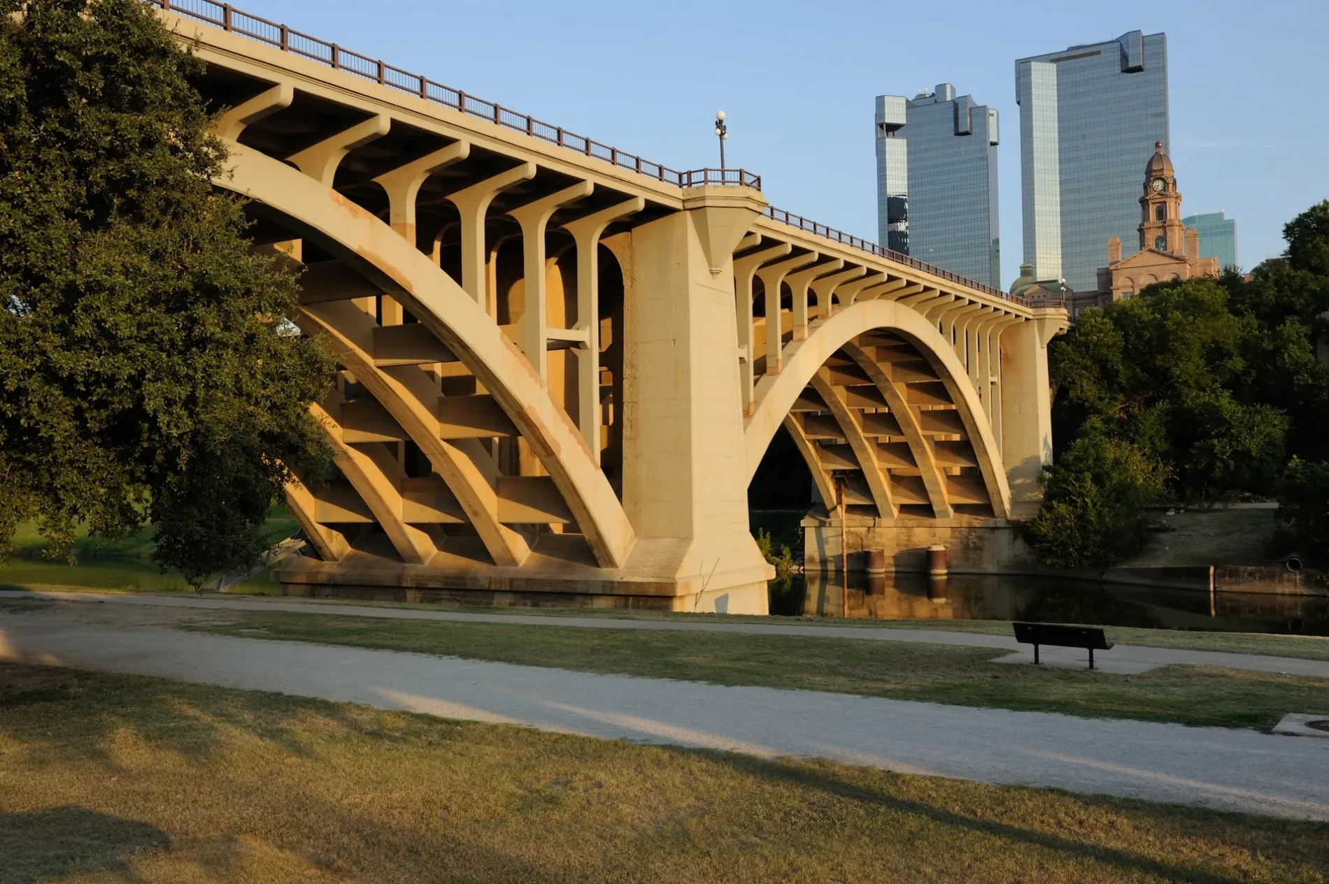
Bike rentals
Streets nearby
Ripley Arnold Plaza300 ft
Franklin Street0.1 mi
Heritage Park0.1 mi
Trinity Campus CircleArt Exhibit
0.2 mi
North Main StreetMain & 21st, Lonesome Dove Western Bistro, Main & Exchange - 24th, Main & Exchange, Main & 29th, Heaven's Gate, QuikTrip, Main & 27th, Main & 26th - 27th, Main & 26th, Cattleman's Steak House, Main & 23rd
0.2 mi
North Houston StreetMount Carmel School, All Saints Catholic Church, Houston & Weatherford, North Side Transfer Center
0.2 mi
North Lamar StreetTarrant County Plaza Building
0.2 mi
East Bluff Street0.2 mi
Commerce StreetCommerce & 3rd, Commerce & 8th, Commerce & Belknap - Weatherford, Trinity Metro Bikes : 777 Main -61-, Commerce & 5th, Sheraton Hotel
0.2 mi
Throckmorton StreetTrinity Metro Bikes : Worthington -59-, Throckmorton & 6th, Throckmorton & Belknap, Throckmorton & 11th - Jennings, Throckmorton & 2nd - Weatherford, Salsa Limon, Throckmorton & 4th, Barber’s Book Store, J's Burgers N' More, Winchester Tavern
0.2 mi
North Burnett Street0.2 mi
West Weatherford StreetWeatherford & Burnett, Weatherford & Taylor - Throck
0.2 mi
Cherry Street0.2 mi
North Florence Street0.2 mi
West Peach Street0.3 mi
North Henderson StreetHenderson & Peach, Henderson & White Settlement, Henderson & Cullen
0.3 mi
West Belknap StreetTim Curry Criminal Justice Center, Belknap & Taylor - Bicycle rental, Belknap & Burnett, Fort Worth Police Dept Headquarters
0.3 mi
Valley Street0.3 mi
Mills Street0.3 mi
Belknap StreetWalgreens
0.3 mi
Florence StreetThe First Street Methodist Mission
0.3 mi
Congress Street0.3 mi
West 2nd StreetWorthington Hotel
0.3 mi
Henderson Street0.3 mi
West 1st StreetVisiting Angels Senior Home Care Fort Worth
0.3 mi
West Bluff Street0.3 mi
Woodward Street0.4 mi
North Lexington Street0.4 mi
Calvert Street0.4 mi
Purcey Street0.4 mi
Commercial buildings nearby
Hernandez Family Law Center0.2 mi
Courthouses nearby
Criminal Courts Building0.1 mi
Disused railways nearby
Leonard Subway0.4 mi
Tandy Center Subway0.4 mi
Event venues nearby
Panther Island Pavilion0.4 mi
Fast food restaurants nearby
Taco Bell0.3 mi
Gas stations nearby
7-Eleven0.3 mi
Office buildings nearby
City Place Tower I0.2 mi
Parking lots nearby
Trinity River Parking Garage0.2 mi
Parks nearby
Panther Island0.1 mi
Paddock Park0.2 mi
Nutt Lake Park0.2 mi
Places of worship nearby
The Paradox Church0.3 mi
Prisons nearby
Tarrant County Jail0.2 mi
Public buildings nearby
Tarrant County Plaza Building0.2 mi
Residential areas nearby
Encore Panther Island Apartments0.3 mi
Stations nearby
Stop 20.3 mi
Stop 30.4 mi
Other nearby
North Main Substation0.3 mi
Public transit map Fort Worth Legend
| Railway | |
| Bus | |
| Streetcar |
Bicycle map Fort Worth Legend
| Bike path | |
| Bike lane on roadway | |
| Cycling allowed on bus lane | |
| Bicycle street | |
| Open to cyclists | |
| Open to cyclists, good path | |
| Cycling prohibited | |
| Cobblestone |
| Long-distance bike route | (depending on scale) | |
| Long-distance bike route |
Pedestrian map Fort Worth Legend
| Path |
| Long-distance hiking trail | (depending on scale) | |
| Long-distance hiking trail | ||
| Pedestrians prohibited |