
Northwest 27th Street in Fort Worth, Texas
Northwest 27th Street in Fort Worth is a residential street and it runs in an east-west direction starting from Ellis Avenue and ends at North Main Street. Northwest 27th Street also exists in Bexar County.
- Road Type
- residential street
- Route
- east-west
Image
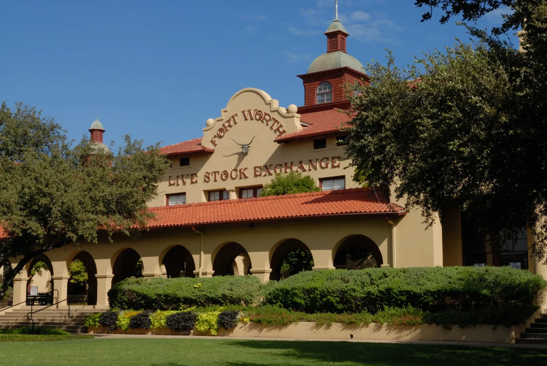
Fast food restaurants
Pharmacies
Banks
Variety stores
Bus stops
- bus lines 45
Electronics stores
Attractions
Places of worship
Restaurants
Cafes
Bus stations
Gift shops
Streets nearby
Northeast 28th Street28th & Braswell, NBT Bank, 28th & Sterling - Deen, Groove Carwash, 28th & Lulu, Wells Fargo, 28th & Decatur, 28th & Hutchinson, 28th & Hale, 28th & Commerce, 28th & Deen, 28th & Grover, Subway
0.1 mi
Northwest 26th StreetKingdom Hall of Jehovahs Witnesses of Rosen Heights
0.1 mi
Stockyards Boulevard0.1 mi
Ellis AvenueRose Hill Baptist Church
0.2 mi
Willmon Street0.2 mi
Wimpy Street0.2 mi
North Houston StreetNorth Side Transfer Center, Mount Carmel School, All Saints Catholic Church, Houston & Weatherford
0.2 mi
North Commerce StreetYummy Buffet, RadioShack, 5th & Commerce, San Jose School
0.2 mi
North Main StreetMain & 21st, Lonesome Dove Western Bistro, Main & Exchange - 24th, Main & Exchange, Main & 29th, Heaven's Gate, QuikTrip, Main & 27th, Main & 26th - 27th, Main & 26th, Cattleman's Steak House, Main & 23rd
0.2 mi
Clinton AvenueSpanish Church of the Nazarene, Peaceful Rest Baptist Church, Fort Worth American Indian Baptist Mission Church, Iglesia Manantial de Vida
0.2 mi
Northwest 25th Street0.3 mi
Rodeo PlazaCowtown Coliseum Rodeo
0.3 mi
Ross AvenueSpanish Assemblies of God, Gospel Chapel Church of God in Christ
0.3 mi
Cliff Street0.3 mi
Northwest 28th StreetIglesia Palabra de Amor, 28th & Ellis, Starbucks, Loving Avenue Baptist Church
0.3 mi
West Exchange AvenueLeddy's Boots & Saddles, The General Store, Pearls Dance Hall
0.3 mi
Northwest 29th StreetWesley Chapel African Methodist Episcopal Church
0.4 mi
Finney Avenue 24000.4 mi
Mule AlleyCaterina's, Fleastyle, Ariat, Sassy Pantz by Two Sisters, Stockyards Station Trading Post, Chief Records, Stockyards Olive Oil Co., Barbara's Custom Hats, The Beef Jerky Outlet, 97 West Kitchen & Bar, Hotel Drover ChargePoint
0.4 mi
Holland Street0.4 mi
Appliance stores nearby
Famsa0.2 mi
Banks nearby
Prosperity Bank350 ft
Convenience stores nearby
Bueno Food Mart0.3 mi
Drugstores nearby
Walgreens550 ft
Fast food restaurants nearby
Sonic250 ft
Domino's350 ft
Jack in the Box0.1 mi
Whataburger0.2 mi
Chick-fil-A0.2 mi
Taco Bell0.2 mi
McDonald's0.3 mi
Gas stations nearby
7-Eleven0.1 mi
Sunoco0.3 mi
Hotels nearby
Courtyard by Marriott Fort Worth Historic Stockyards0.1 mi
Stockyards Hotel0.3 mi
Hotel Texas0.3 mi
Miss Molly's Hotel0.3 mi
Parks nearby
Rodeo Park0.1 mi
Lincoln Park0.2 mi
Places of worship nearby
Clinton Avenue Church0.2 mi
Shiloh Missionary Baptist Church0.2 mi
Police stations nearby
Stockyards Center Northside Police Sector0.2 mi
Pubs nearby
Billy Bob's Texas0.2 mi
Restaurants nearby
Cooper’s Old Time Pit Bar-B-Que0.1 mi
Pizza Hut0.2 mi
Lonesome Dove Fort Worth0.4 mi
Stadiums nearby
Cowtown Coliseum0.3 mi
Streams nearby
Marine Creek0.3 mi
Supermarkets nearby
Fiesta Mart0.2 mi
 Public transit map Fort Worth Legend
| Railway | |
| Bus | |
| Streetcar |
 Bicycle map Fort Worth Legend
| Bike path | |
| Bike lane on roadway | |
| Cycling allowed on bus lane | |
| Bicycle street | |
| Open to cyclists | |
| Open to cyclists, good path | |
| Cycling prohibited | |
| Cobblestone |
| Long-distance bike route | (depending on scale) | |
| Long-distance bike route |
 Pedestrian map Fort Worth Legend
| Path |
| Long-distance hiking trail | (depending on scale) | |
| Long-distance hiking trail | ||
| Pedestrians prohibited |