
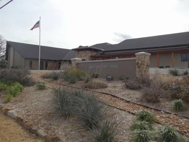
North US Highway 377 in Argyle, Texas
North US Highway 377 in Argyle is a two-lane, asphalted main road (Road number US 377). It runs in a north-south direction and crosses Country Club Road, Crawford Road, Village Way, Collin Street, Dallas Street, Denton Street East, Rusk Street, Old Justin Road, Chisholm Trail, Old Town Boulevard North, Old Town Boulevard South and Harpole Road. This street is part of the highway "377". North US Highway 377 also exists in Pilot Point.
- Road Type
- main road
- Speed Limit
- 50 mph
- Lanes
- 2
- Route
- north-south
Image
Places of worship
Dentist offices
Schools
Streets nearby
Dallas StreetArgyle United Methodist Church
400 ft
West Front Street400 ft
Cypress Street0.1 mi
Eagle Street0.1 mi
Collin Street0.2 mi
Mesquite Street0.2 mi
Rusk Street0.2 mi
Denton Street EastArgyle
0.2 mi
Eagle Drive0.2 mi
Dallas Street East0.2 mi
Walnut Street0.2 mi
Goodnight Trail0.3 mi
Sterling Drive0.3 mi
Crawford Road0.3 mi
Hearth Terrace0.3 mi
Village Way0.3 mi
Dundee Court0.3 mi
Old Justin Road0.3 mi
Harrison Lane0.3 mi
Kay Street0.3 mi
Chisholm Trail0.4 mi
Cherokee Trail0.4 mi
Santa Fe Trail0.4 mi
Oregon Trail0.4 mi
Timber Creek Drive0.5 mi
Carrington Drive0.5 mi
Crooked Cove0.5 mi
Telford Drive0.5 mi
Courtney Bay Lane0.5 mi
Craig Court0.5 mi
Glen Innes Drive0.5 mi
Old Town Boulevard North0.5 mi
Country Lakes Boulevard0.5 mi
Wooded Cove0.5 mi
River Meadows Lane0.5 mi
Old Town Boulevard South0.6 mi
Highland Circle0.6 mi
Aberdeen Boulevard0.6 mi
Trigger Trail0.6 mi
Big Sky Way0.6 mi
Travelers Terrace0.7 mi
West Hickory Ridge Circle0.7 mi
Buildings nearby
RE/MAX350 ft
Cemeteries nearby
Argyle Cemetery0.7 mi
Churches nearby
ACC Central- Student Center0.3 mi
Parks nearby
Argyle Community Park0.2 mi
Police stations nearby
Argyle Police Department0.1 mi
Post offices nearby
United States Post Office0.2 mi
Religious areas nearby
First Baptist Church Argyle0.3 mi
Public transit map Argyle Legend
| Railway | |
| Bus | |
| Streetcar |
Bicycle map Argyle Legend
| Bike path | |
| Bike lane on roadway | |
| Cycling allowed on bus lane | |
| Bicycle street | |
| Open to cyclists | |
| Open to cyclists, good path | |
| Cycling prohibited | |
| Cobblestone |
| Long-distance bike route | (depending on scale) | |
| Long-distance bike route |
Pedestrian map Argyle Legend
| Path |
| Long-distance hiking trail | (depending on scale) | |
| Long-distance hiking trail | ||
| Pedestrians prohibited |