
Harris Street in Odessa, Texas
Harris Street in Odessa is a residential street and it runs in an east-west direction starting from North County Road West and crosses Security Avenue and ends at Beaty Avenue. Harris Street also exists in Fort Bend County, Grayson County, Frio County, Lamb County and Terry County.
- Road Type
- residential street
- Route
- east-west
Image
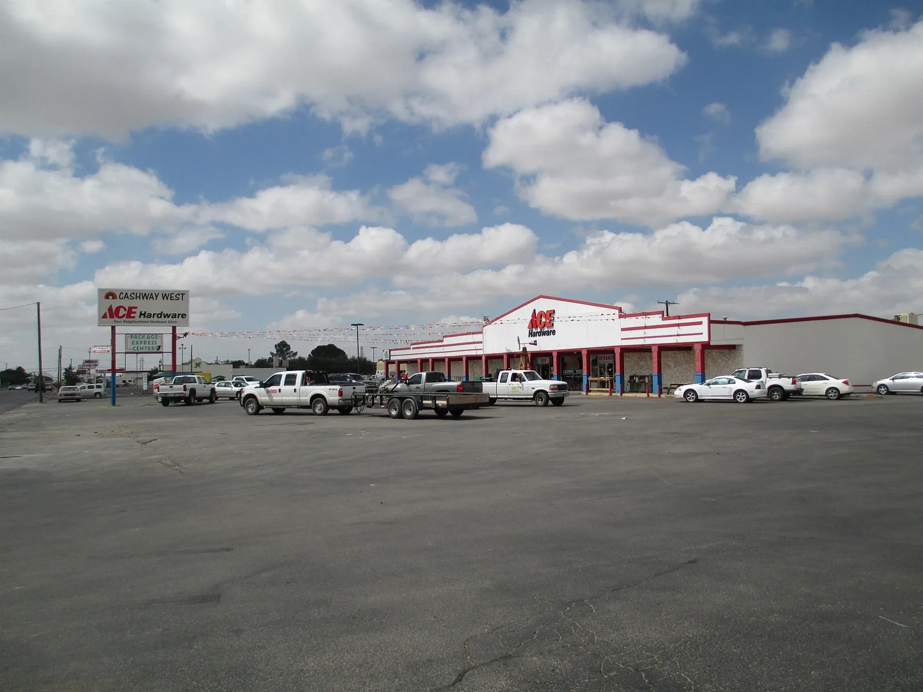
Restaurants
Kindergartens
Pharmacies
Shoe stores
Fast food restaurants
Bars
Banks
Schools
Places of worship
Clinics
Theaters
Streets nearby
Security AvenueWestview, Rogers
200 ft
Smith Street350 ft
Kermit HighwayWestar, Harrisdale, Cromwell & Held, Buchanan North, Hawkins
0.2 mi
Buchanan Avenue0.2 mi
North County Road WestTaco Bell / KFC, Chase, Burger King, Walgreens, Jumburrito, Western Village, Deering, First Basin Credit Union
0.2 mi
Beaty Avenue0.2 mi
Green Drive0.3 mi
West University BoulevardMcDonald's, H-E-B Pharmacy, Jack in the Box, First Physicians Westview Medical Clinic, Frost Bank, Delta, Steins Ultra Bar
0.3 mi
West 24th StreetOvercash
0.3 mi
Eastland Avenue0.3 mi
West 26th Street0.3 mi
Westwood Road0.3 mi
San Andres DrivePizza Hut
0.3 mi
West 23rd StreetPizza Hut
0.4 mi
West 30th Street0.4 mi
Catalina DriveRichard Milburn Academy - Odessa
0.4 mi
Bagley Avenue0.4 mi
Brazos Avenue0.4 mi
West 22nd StreetHighland Park
0.4 mi
Westwood DriveSonic
0.4 mi
Terry Drive0.4 mi
Whitaker AvenueBelmont Church, Central Fire Station, Rhoades Commercial Tracts
0.5 mi
Fly Avenue0.5 mi
West University0.5 mi
Madera Avenue0.5 mi
West 25th Street0.6 mi
Alamosa Street0.6 mi
Apartment buildings nearby
Lamplighter Apts0.3 mi
Odessa Inn Apts0.3 mi
Auto parts stores nearby
Advance Auto Parts0.3 mi
Banks nearby
City Bank0.4 mi
Truist0.4 mi
Buildings nearby
O.C.I. Building0.4 mi
Cafes nearby
HTeaO0.3 mi
Drains nearby
West Side Drainage Channel0.5 mi
Industrial areas nearby
U-Haul Addition0.2 mi
Parks nearby
Western Manor Park0.4 mi
Residential areas nearby
Westwood Square Apartments0.2 mi
Sedona Springs Village0.3 mi
Manor Crest Apartments0.3 mi
Kona Kai Apartments0.3 mi
Beckwood Terrace0.4 mi
Santa Monica Place Apartments0.4 mi
Wildwood Terrace Apartments0.4 mi
Retail areas nearby
Westgate Plaza0.3 mi
Heroes Plaza0.3 mi
Western Manor Shopping Center0.5 mi
Self storages nearby
Extra Space Storage0.4 mi
Supermarkets nearby
United Supermarkets0.2 mi
Public transit map Odessa Legend
| Railway | |
| Bus | |
| Streetcar |
Bicycle map Odessa Legend
| Bike path | |
| Bike lane on roadway | |
| Cycling allowed on bus lane | |
| Bicycle street | |
| Open to cyclists | |
| Open to cyclists, good path | |
| Cycling prohibited | |
| Cobblestone |
| Long-distance bike route | (depending on scale) | |
| Long-distance bike route |
Pedestrian map Odessa Legend
| Path |
| Long-distance hiking trail | (depending on scale) | |
| Long-distance hiking trail | ||
| Pedestrians prohibited |