
North County Road West in Odessa, Texas
North County Road West in Odessa is a secondary road (Road number FM 1882). It runs in a north-south direction starting from Andrews Highway and crosses US 385 Service Road South, Oil Field Drive, West Yukon Road, West 42nd Street, West 41st Street, West 40th Street, West 38th Street, West 34th Street, West 33rd Street, Gary Terrace and Terry Drive. It ends in a cul-de-sac. This street is part of the highway "1882". Nearby you can find among others 3 fast food restaurants, 2 banks and a pharmacy.
- Road Type
- secondary road
- Route
- north-south
Image
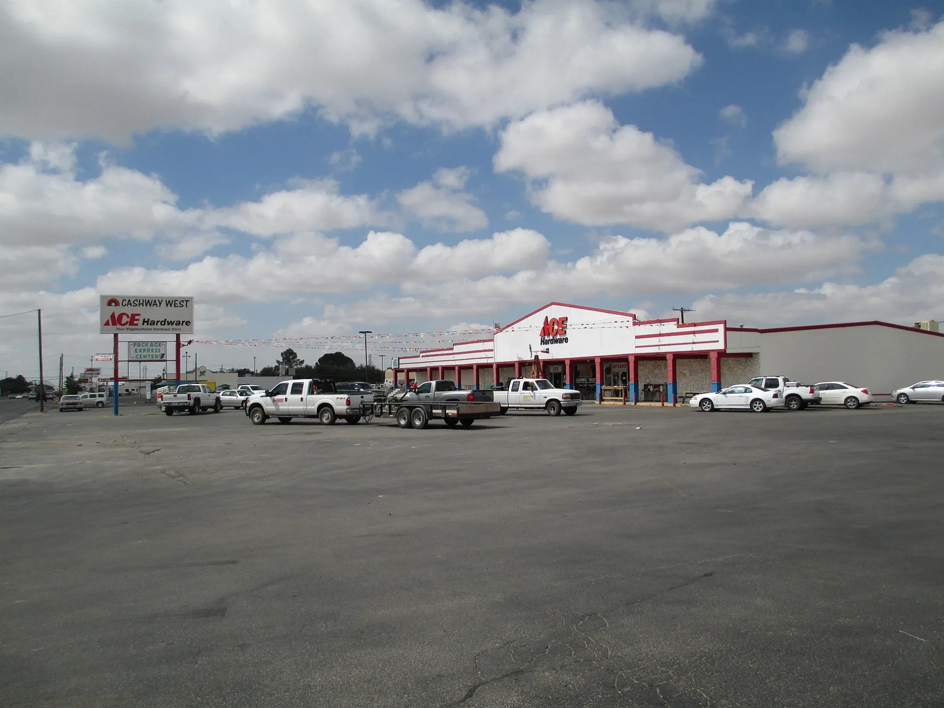
Fast food restaurants
Streets nearby
West University BoulevardMcDonald's, H-E-B Pharmacy, Jack in the Box, First Physicians Westview Medical Clinic, Frost Bank, Delta, Steins Ultra Bar
0.2 mi
Harris Street0.2 mi
Brazos Avenue0.2 mi
Security AvenueWestview, Rogers
0.2 mi
Catalina DriveRichard Milburn Academy - Odessa
0.2 mi
Kermit HighwayWestar, Harrisdale, Cromwell & Held, Buchanan North, Hawkins
0.2 mi
Eastland Avenue0.2 mi
Bagley Avenue0.2 mi
Smith Street0.2 mi
San Andres DrivePizza Hut
0.3 mi
Gary Terrace0.3 mi
West 33rd StreetBreeze Hill
0.3 mi
West 26th Street0.3 mi
Terry Drive0.3 mi
Tennessee Drive0.3 mi
Santa Monica Avenue0.3 mi
Buchanan Avenue0.4 mi
West University0.4 mi
Madera Avenue0.4 mi
West 30th Street0.4 mi
West 32nd Street0.4 mi
Winfield Avenue0.4 mi
West 31st Street0.4 mi
Beaty Avenue0.4 mi
Noble Avenue0.4 mi
Merrill Avenue0.5 mi
Green Drive0.5 mi
Daniel Avenue0.5 mi
North Golder AvenueChurch of Christ Terrace
0.5 mi
West 34th Street0.5 mi
West 35th Street0.5 mi
Pleasant AvenueRachel
0.6 mi
West 36th Street0.6 mi
Auto parts stores nearby
Advance Auto Parts450 ft
Banks nearby
Truist0.2 mi
City Bank0.2 mi
Buildings nearby
O.C.I. Building0.2 mi
Slator Community Center0.6 mi
Cafes nearby
HTeaO0.1 mi
Industrial areas nearby
U-Haul Addition0.3 mi
Parks nearby
Paul Slator Park0.5 mi
Residential areas nearby
Manor Crest Apartments0.3 mi
Westwood Square Apartments0.3 mi
Sedona Springs Village0.4 mi
Retail areas nearby
Westgate Plaza0.2 mi
Rv parks nearby
Baron Mobile Estates0.4 mi
Wilsons Mobile Home Park No 20.6 mi
Self storages nearby
Extra Space Storage0.2 mi
Supermarkets nearby
United Supermarkets300 ft
Public transit map Odessa Legend
| Railway | |
| Bus | |
| Streetcar |
Bicycle map Odessa Legend
| Bike path | |
| Bike lane on roadway | |
| Cycling allowed on bus lane | |
| Bicycle street | |
| Open to cyclists | |
| Open to cyclists, good path | |
| Cycling prohibited | |
| Cobblestone |
| Long-distance bike route | (depending on scale) | |
| Long-distance bike route |
Pedestrian map Odessa Legend
| Path |
| Long-distance hiking trail | (depending on scale) | |
| Long-distance hiking trail | ||
| Pedestrians prohibited |