
West Bank Alley in Longview, Texas
West Bank Alley in Longview is an asphalted service road. It runs in an east-west direction and crosses North Horaney Street, North High Street and North Center Street and ends at East Bank Alley, while the other end is a cul-de-sac. Nearby there is a place of worship. The nearest stop is Hillside Village Apartments (about 200 m away).
- Road Type
- service road
- Speed Limit
- 15 mph
- Route
- east-west
Image
Places of worship
Streets nearby
North Horaney Street400 ft
North High Street450 ft
South Court StreetBethel Baptist Church
0.1 mi
South High StreetWare Meadows Apartments, Ware Elementary School, Zippy J's - South High Street @ Marion Drive, East Side Of High Street, North Of Nelson Street, Across From Kilgore College Longview, Kilgore College Longview, O'Reilly Auto Parts, Dollar General - South High Street, Super 1 Foods - South High Street, Workforce Solutions, Family Dollar - South High Street
0.1 mi
West Methvin Street0.2 mi
West Tyler Street0.2 mi
North Center StreetRoxy’s Candy Lounge, The Pink Candle
0.2 mi
South Center Street0.2 mi
West Whaley StreetHillside Village Apartments
0.2 mi
Bethel Street0.2 mi
Ames Street0.2 mi
Ann Street0.2 mi
West Church Alley0.2 mi
Edith Street0.2 mi
West South Street0.2 mi
East Whaley StreetChurchill At Longview Apartments
0.2 mi
North Fredonia Street0.3 mi
East Methvin StreetServed with Honor
0.3 mi
East Tyler StreetVeraBank, Wild Roots Ranch, Blush Salon, The Bourbon Alley, Top Hat Barber Shop, Skin Deep Studio Tatios, The Skin Room, Woolley G’s Bike & Fitness
0.3 mi
West Cotton StreetPegues-Hurst Ford, City Hall & Longview Public Library, North Entrance, Maude Cobb Convention Center
0.3 mi
South Fredonia Street0.3 mi
East Cotton Street0.3 mi
West Marshall AvenueNorth Side Of West Marshall Avenue, East Of North Lane Wells Drive, South Side Of West Marshall Avenue, West Of Enterprise Street, Kroger, Greggton, Longview, O'Reilly Auto Parts, South Side Of West Marshall Avenue, West Of West Methvin Street, Greggton First Baptist Church
0.3 mi
North Court Street0.3 mi
Bars nearby
Rack and Roll150 ft
Buildings nearby
Knights of Pythias Lodge0.2 mi
Books & Barrels0.2 mi
Gregg County Jail0.2 mi
Sorry & Hoover LLP Trial Lawyers0.2 mi
Longview Fire Department Administration0.2 mi
Republican Women of Gregg County0.3 mi
AT&T0.3 mi
Commercial buildings nearby
Glover-Crim Building0.2 mi
Courthouses nearby
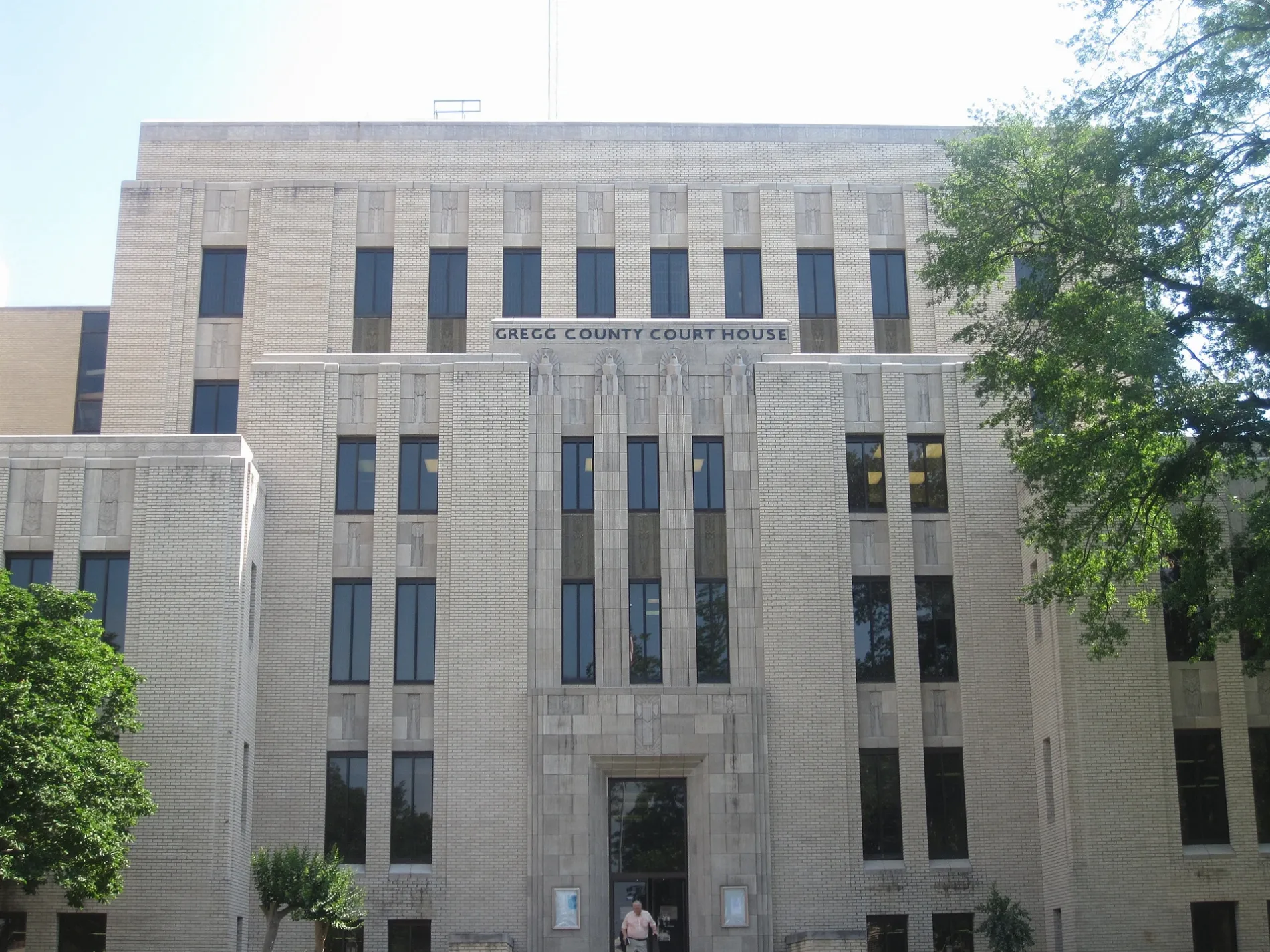
Gregg County Courthouse0.3 mi
Fast food restaurants nearby
Taco Bell0.3 mi
Houses nearby
Sloan, Hatcher, Perry, Runge, Robertson & Smith0.2 mi
Libraries nearby
Longview Public Library0.2 mi
Museums nearby
Longview World of Wonders0.2 mi
Gregg County Historical Museum0.3 mi
Ann Lacy Crain Exhibit Center0.3 mi
Parks nearby
Pelaia Plaza0.2 mi
Places of worship nearby
Longview United Presbyterian Church0.1 mi
First United Methodist Church0.3 mi
Police stations nearby
Longview Police Department0.2 mi
Post offices nearby
US Post Office - Downtown Longview0.3 mi
Railways nearby
UP Mineola Subdivision550 ft
Restaurants nearby
Judd's Downtown0.2 mi
Lil Thai House0.3 mi
Technical colleges nearby
Longview North Building0.2 mi
Public transit map Longview Legend
| Railway | |
| Bus | |
| Streetcar |
Bicycle map Longview Legend
| Bike path | |
| Bike lane on roadway | |
| Cycling allowed on bus lane | |
| Bicycle street | |
| Open to cyclists | |
| Open to cyclists, good path | |
| Cycling prohibited | |
| Cobblestone |
| Long-distance bike route | (depending on scale) | |
| Long-distance bike route |
Pedestrian map Longview Legend
| Path |
| Long-distance hiking trail | (depending on scale) | |
| Long-distance hiking trail | ||
| Pedestrians prohibited |