
West Whaley Street in Longview, Texas
West Whaley Street in Longview is a four-lane, asphalted local road. It runs in an east-west direction starting from West Methvin Street and crosses Bethel Street, Ames Street, North Horaney Street, North High Street and North Center Street and ends at East Whaley Street. The nearest stop is Hillside Village Apartments. The bus line 1 stops here.
- Road Type
- local road
- Speed Limit
- 30 mph
- Lanes
- 2
- Route
- east-west
Image
Bus stops
- bus lines 1
Streets nearby
West Methvin Street450 ft
West Bank AlleyBethel African Methodist Episcopal Church
0.1 mi
Hoover Street0.2 mi
North Fredonia Street0.2 mi
North Green Street0.2 mi
East Bank AlleyLongview Museum of Fine Arts, Joyful Noise Music Lessons
0.2 mi
Padon Street0.3 mi
East Whaley StreetChurchill At Longview Apartments
0.3 mi
South Green StreetVillage South Apartments, Across From Los Papagallo's Restaurant, La Michoacana
0.3 mi
Apartment buildings nearby
Alton Plaza0.1 mi
Banks nearby
Texas Bank & Trust0.2 mi
Texas Bank & Trust Drive-Thru0.3 mi
Beauty salons nearby
Salon Pink By Ricia & Sheri0.3 mi
Buildings nearby
Gregg County Jail0.1 mi
Knights of Pythias Lodge0.1 mi
Books & Barrels0.1 mi
AT&T0.1 mi
Republican Women of Gregg County0.2 mi
Sorry & Hoover LLP Trial Lawyers0.2 mi
Monsour Law Firm0.2 mi
Media Quest0.3 mi
Longview News-Journal0.3 mi
Patton Nix & Young0.3 mi
Law Office of Kelly M. Heitkamp0.3 mi
Rodney S. Scott, Attorney Law0.3 mi
Erskine & McMahon, Attorneys at Law0.3 mi
Commercial buildings nearby
Glover-Crim Building0.2 mi
Inhouse Associates0.2 mi
Bramlette Building0.2 mi
Heritage Tower0.3 mi
Courthouses nearby
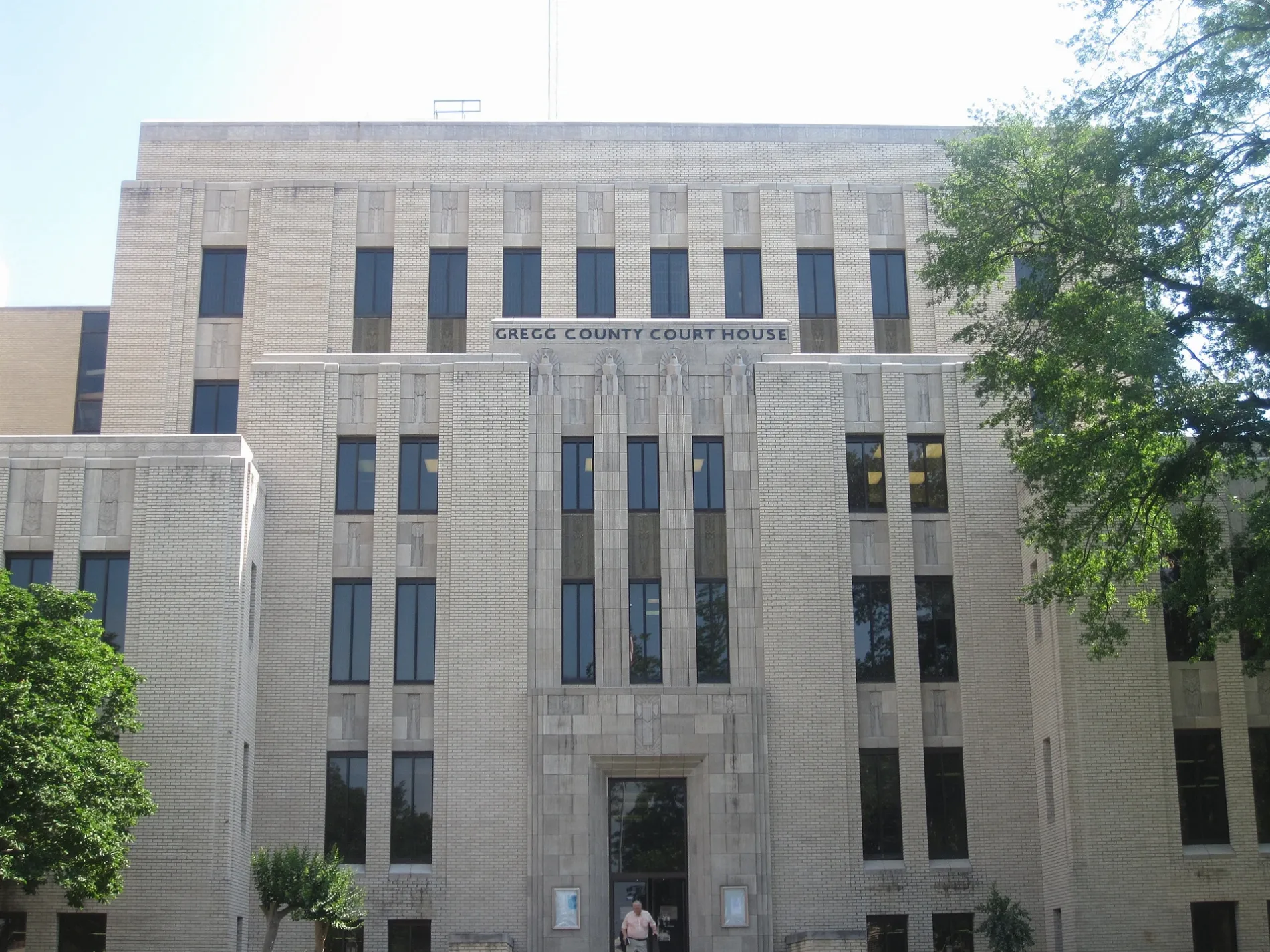
Gregg County Courthouse550 ft
Furniture stores nearby
Maness Furniture0.3 mi
Houses nearby
Sloan, Hatcher, Perry, Runge, Robertson & Smith250 ft
Museums nearby
Gregg County Historical Museum0.2 mi
Ann Lacy Crain Exhibit Center0.2 mi
Longview Museum of Fine Arts0.2 mi
Parks nearby
Pelaia Plaza0.2 mi
Heritage Plaza0.2 mi
Magrill Plaza0.3 mi
Places of worship nearby
Longview United Presbyterian Church400 ft
First United Methodist Church0.1 mi
Playgrounds nearby
First Methodist Church Playground0.2 mi
Post offices nearby
US Post Office - Downtown Longview0.1 mi
Railways nearby
UP Mineola Subdivision0.3 mi
Residential areas nearby
522 North First Street0.3 mi
Restaurants nearby
Judd's Downtown0.1 mi
Lil Thai House0.2 mi
Hot Dog Express0.2 mi
School buildings nearby
School for Little Children0.2 mi
Public transit map Longview Legend
| Railway | |
| Bus | |
| Streetcar |
Bicycle map Longview Legend
| Bike path | |
| Bike lane on roadway | |
| Cycling allowed on bus lane | |
| Bicycle street | |
| Open to cyclists | |
| Open to cyclists, good path | |
| Cycling prohibited | |
| Cobblestone |
| Long-distance bike route | (depending on scale) | |
| Long-distance bike route |
Pedestrian map Longview Legend
| Path |
| Long-distance hiking trail | (depending on scale) | |
| Long-distance hiking trail | ||
| Pedestrians prohibited |