
Algregg Street in Houston
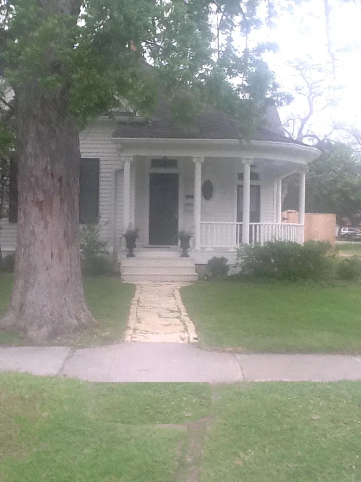
Algregg Street in Houston is a two-lane, asphalted residential street. It runs in an east-west direction starting from Oxford Street and crosses Hall Place, Beverly Street, Studewood Street, Oakridge Street, Norhill Boulevard, Pineridge Street, Michaux Street and Kermit Street and ends at Julian Street.
- Road Type
- residential street
- Lanes
- 2
- Route
- east-west
Image
Places of worship
Convenience stores
Bakeries
Beauty salons
Cafes
Music schools
Restaurants
Theaters
Liquor stores
Supplement stores
Dry cleaners
Hair salons
Tourist information centers
Fast food restaurants
Garden centers
Banks
Massage therapy clinics
Dentist offices
Bike shops
Streets nearby
Oxford StreetJenni's Noodle House
450 ft
Hall Place500 ft
East 13½ Street0.1 mi
Beverly StreetHeights Liquor
0.1 mi
Ralfallen Street0.2 mi
Arlington StreetMemorial Hermann Urgent Care
0.2 mi
East 14th StreetHoward Locksmith Heights, Latina Mission Presbyterian Church
0.2 mi
Oakridge Street0.2 mi
East 13th StreetHeights High School Theatre, Heights High School
0.2 mi
East 16th Street0.2 mi
Columbia Street0.3 mi
East 17th Street0.3 mi
Blount Street0.3 mi
Wilken Street0.3 mi
Le Green Street0.3 mi
Studewood StreetHuntington Learning Center, Studewood Barber Shop, Adonia Dentistry, Heights Nutrition, Helen in the Heights
0.3 mi
Peddie Street0.3 mi
East 15th Street0.3 mi
Winston Street0.3 mi
Cortlandt StreetBudget, Shell
0.3 mi
Harvard StreetBonjour, Metro by T-Mobile, Star Pizza, First Baptist Church Heights
0.3 mi
Walling Street0.4 mi
Sheldon Street0.4 mi
East 18th Street0.4 mi
Heights BoulevardThe Boardroom, Salata, Clear Smiles, Barnaby's Cafe, Ideal Image, Heights Christian Church, The Houston Saengenbund, Arcadia, 3rd Generation Ink, Retreat Massage, The Monk's Kitchen, Water Tree, TJ's Smoke Shop, Subway
0.4 mi
East 19th Street0.4 mi
West 15th StreetHouston Heights, CubeSmart, Flying Squid Tattoo
0.4 mi
Paul Carr Jogging TrailLombard Lamp
0.4 mi
Bradshaw Street0.5 mi
West 16th StreetCircle K
0.5 mi
East 20th StreetSchool of Rock, Heights Super Cleaners, Heights Reflexology, MMC Beauty Salon
0.5 mi
West 17th Street0.5 mi
Antique stores nearby
14th Street Trading Post250 ft
Bars nearby
The Shiloh Club0.2 mi
Buildings nearby
Milroy-Muller House0.4 mi
Barker House0.4 mi
Glenn W Morris House0.4 mi
Doctor B F Coop House0.4 mi
Love House0.5 mi
Doctor Billie V Ellis House0.5 mi
Mansfield House0.5 mi
Woodward House0.5 mi
Houston Heights Womans Club0.6 mi
Fitness centers nearby
Pure Barre0.2 mi
Parks nearby
Marmion Park0.5 mi
Places of worship nearby
Heights Church of Christ0.4 mi
Residential areas nearby
The Cortlandt0.4 mi
Shelters nearby
Kaiser Pavilion0.5 mi
Social facilities nearby
Village of the Heights0.1 mi
 Public transit map Houston Legend
| Railway | |
| Bus | |
| Streetcar |
 Bicycle map Houston Legend
| Bike path | |
| Bike lane on roadway | |
| Cycling allowed on bus lane | |
| Bicycle street | |
| Open to cyclists | |
| Open to cyclists, good path | |
| Cycling prohibited | |
| Cobblestone |
| Long-distance bike route | (depending on scale) | |
| Long-distance bike route |
 Pedestrian map Houston Legend
| Path |
| Long-distance hiking trail | (depending on scale) | |
| Long-distance hiking trail | ||
| Pedestrians prohibited |