
Bradshaw Street in Houston
Bradshaw Street in Houston is a two-lane, asphalted, lit residential street. It runs in a north-south direction starting from East 20th Street and ends at East 19th Street. Bradshaw Street also exists in Ellis County, Kaufman County and Shelby County.
- Road Type
- residential street
- Lanes
- 2
- Route
- north-south
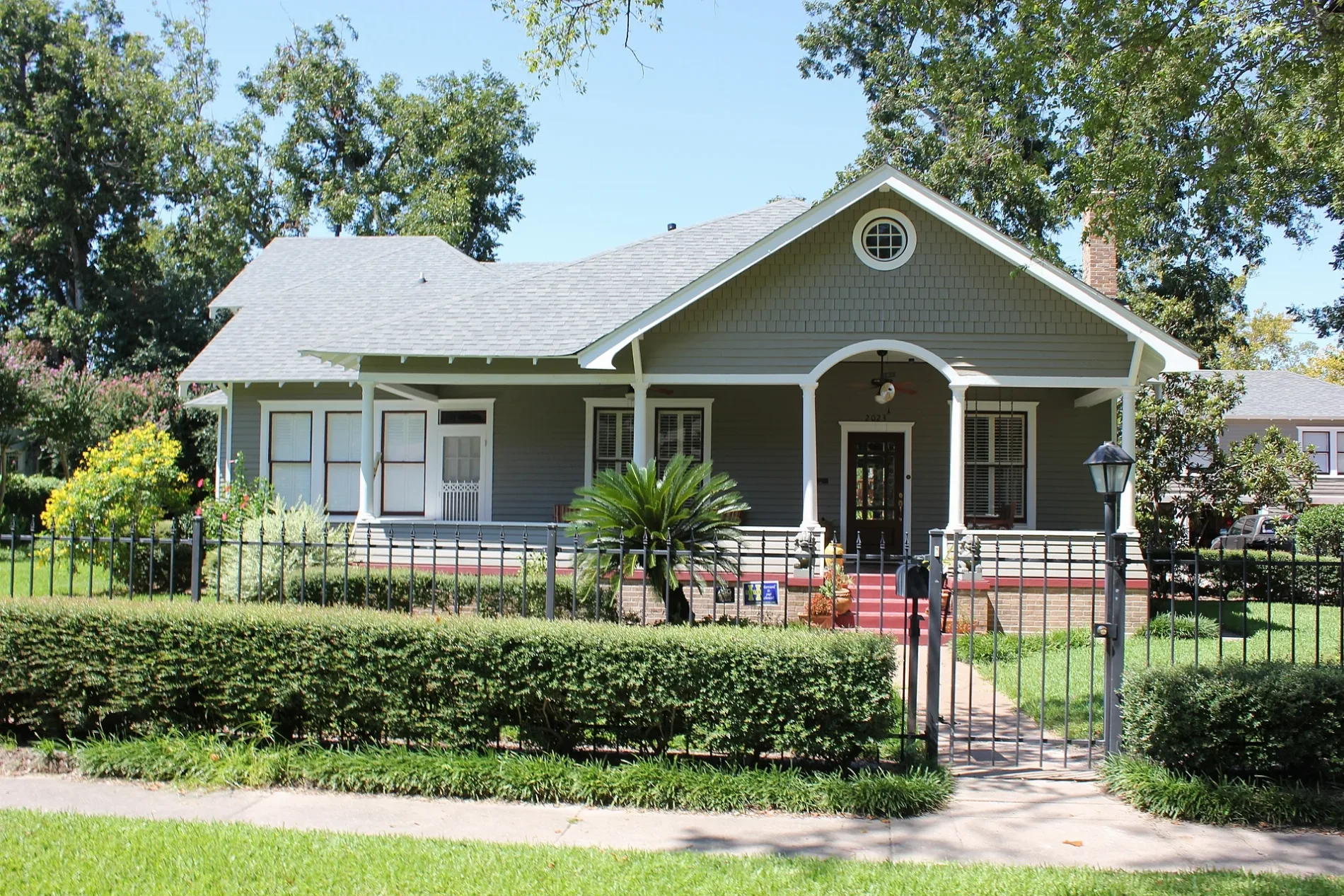
Image
Places of worship
Beauty salons
Dentist offices
Tourist information centers
Cell phone stores
Video game stores
Restaurants
Antique stores
Supplement stores
Convenience stores
Pharmacies
Music schools
Bars
Massage therapy clinics
Dry cleaners
Hair salons
Tobacco shops
Clothing stores
Streets nearby
East 19th Street300 ft
Singleton Street450 ft
Wilder Street500 ft
Gostic StreetChilosos Taco House
0.1 mi
Sheldon Street0.1 mi
East 21st StreetYale Street Grill
0.1 mi
North Main StreetBurnett Transit Center, Quitman/Near Northside, Pictures Plus, Quitman Park & Ride, Texas Sushi Hana, Fabulous Things, Moriri Hair Etc Salon & Day Spa, Serenity Massage P.L.L.C., Kingwood Art School & Supply, Gnome Sweet Gnome, Va Va Bloom, Town Center Foot and Ankle, Kingwood PC Repair, Norhill Historic District, Pedro's Tire Shop, N Main St @ Brooks St, Burnett Transit Center/Casa de Amigos
0.2 mi
Wilken Street0.2 mi
West Cavalcade StreetSpace Cowboy, Washateria
0.2 mi
Beverly StreetHeights Liquor
0.2 mi
Carter Street0.2 mi
Blount Street0.2 mi
East 17th Street0.2 mi
Dunbar StreetNew Heights Cell Repair
0.2 mi
Adele Street0.2 mi
Winston Street0.2 mi
East 18th Street0.2 mi
East 22nd Street0.2 mi
Studewood StreetHuntington Learning Center, Studewood Barber Shop, Adonia Dentistry, Heights Nutrition, Helen in the Heights
0.2 mi
Nadine Street0.3 mi
East 23rd Street0.3 mi
Oxford StreetJenni's Noodle House
0.3 mi
Columbia Street0.3 mi
East 16th Street0.3 mi
East 24th Street0.3 mi
Peddie Street0.3 mi
Cortlandt StreetBudget, Shell
0.4 mi
East 20th StreetSchool of Rock, Heights Super Cleaners, Heights Reflexology, MMC Beauty Salon
0.4 mi
Harvard StreetBonjour, Metro by T-Mobile, Star Pizza, First Baptist Church Heights
0.4 mi
West 19th StreetVietnam Restaurant, Harold's, Manready Mercantile, Coda, Hopdoddy, JINYA Ramen Bar, Comerica Bank, Sport Clips, The Corner Vet, TDECU, Menchi's, Boomtown Coffee, PNC Bank, Heights Cigar Lounge, Hassler Dermatology, KA Sushi, Gold Tooth Tony's Detroit Pizza, Amy's Ice Cream, Smoothie King, Killer Noodle Tsujita, Eat Cake, Houston's Hair Salon, Tarka Indian Kitchen, Painting With a Twist, Gold Rush Collective, H-Town Smoke & Vape, North Star Baptist Church, Benjamin Moore
0.4 mi
Paul Carr Jogging TrailLombard Lamp
0.4 mi
Apartment buildings nearby
Heights House0.4 mi
Auto repair shops nearby
R Inspections0.3 mi
Beauty salons nearby
Sola Salons0.2 mi
Buildings nearby
Allbach House0.3 mi
Houston Heights Womans Club0.3 mi
Mansfield House0.4 mi
Fayette C Lowry House0.4 mi
Banta House0.4 mi
Milroy-Muller House0.4 mi
Glenn W Morris House0.4 mi
Clinics nearby
DaVita Dialysis0.1 mi
Parks nearby
Halbert Park0.4 mi
Marmion Park0.4 mi
Places of worship nearby
Houston Brethren Church0.3 mi
Residential areas nearby
The Cortlandt0.3 mi
Restaurants nearby
Puebla's Mexican Kitchen0.3 mi
Retail buildings nearby
Houston Cider Company0.2 mi
Shelters nearby
Kaiser Pavilion0.4 mi
 Public transit map Houston Legend
| Railway | |
| Bus | |
| Streetcar |
 Bicycle map Houston Legend
| Bike path | |
| Bike lane on roadway | |
| Cycling allowed on bus lane | |
| Bicycle street | |
| Open to cyclists | |
| Open to cyclists, good path | |
| Cycling prohibited | |
| Cobblestone |
| Long-distance bike route | (depending on scale) | |
| Long-distance bike route |
 Pedestrian map Houston Legend
| Path |
| Long-distance hiking trail | (depending on scale) | |
| Long-distance hiking trail | ||
| Pedestrians prohibited |