
Wilder Street in Houston
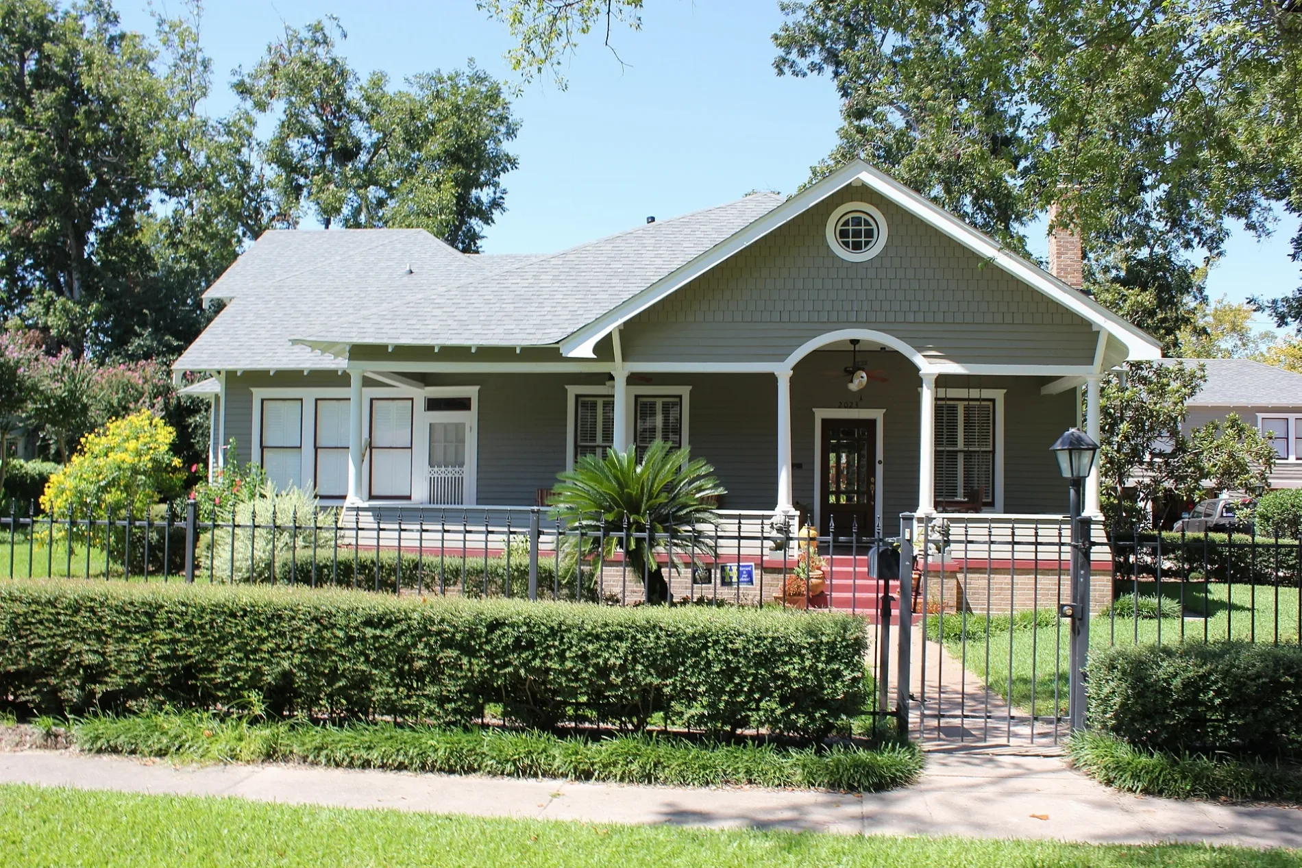
Wilder Street in Houston is a two-lane residential street. It runs in an east-west direction starting from Singleton Street. Wilder Street also exists in Bexar County, McLennan County, Dallas County and Morris County.
- Road Type
- residential street
- Lanes
- 2
- Route
- east-west
Image
Music schools
Massage therapy clinics
Hair salons
Tourist information centers
Cell phone stores
Video game stores
Restaurants
Beauty salons
Dentist offices
Convenience stores
Pawn shops
Bars
Antique stores
Dry cleaners
Supplement stores
Tobacco shops
Pharmacies
Streets nearby
Singleton Street150 ft
East 21st StreetYale Street Grill
300 ft
Gostic StreetChilosos Taco House
450 ft
Carter Street450 ft
Bradshaw Street500 ft
East 20th StreetSchool of Rock, Heights Super Cleaners, Heights Reflexology, MMC Beauty Salon
0.1 mi
East 19th Street0.1 mi
West Cavalcade StreetSpace Cowboy, Washateria
0.1 mi
East 22nd Street0.1 mi
Sheldon Street0.2 mi
East 23rd Street0.2 mi
Beverly StreetHeights Liquor
0.2 mi
Kern StreetChicago Mexican Beef & Pizza
0.2 mi
Wilken Street0.2 mi
Blount Street0.3 mi
Winston Street0.3 mi
Princeton Street0.3 mi
East 17th Street0.3 mi
East 24th Street0.3 mi
Studewood StreetHuntington Learning Center, Studewood Barber Shop, Adonia Dentistry, Heights Nutrition, Helen in the Heights
0.3 mi
Jerome Street0.3 mi
Robbie Street0.3 mi
Louise Street0.3 mi
Michaux StreetThe Heights Villa
0.3 mi
Adele Street0.3 mi
Nadine Street0.4 mi
Norhill Boulevard0.4 mi
Walling Street0.4 mi
Gibbs Street0.4 mi
East 16th Street0.4 mi
North Main StreetBurnett Transit Center, Quitman/Near Northside, Pictures Plus, Quitman Park & Ride, Texas Sushi Hana, Fabulous Things, Moriri Hair Etc Salon & Day Spa, Serenity Massage P.L.L.C., Kingwood Art School & Supply, Gnome Sweet Gnome, Va Va Bloom, Town Center Foot and Ankle, Kingwood PC Repair, Norhill Historic District, Pedro's Tire Shop, N Main St @ Brooks St, Burnett Transit Center/Casa de Amigos
0.4 mi
Tyler Street0.4 mi
Peddie Street0.4 mi
Le Green Street0.5 mi
Dunbar StreetNew Heights Cell Repair
0.5 mi
Airline DriveCricket Wireless, Regional Finance Loans, Boojee Hair, Nailspa, Kush Times 420 Smoke Shop, Loving Care Pharmacy, Chase, Cash America Pawn, Kung Fu Rice Express, MAACO, Annie Food Mart, Orlin Barber Shop, Watermill Express, Rose Nails & Eyelash, Taqueria Mi Huetamo, Happy Smiles, Yerberia Reyes, Bound By Ink Tattoos, Saint John's Family Medical Clinic, Fit & Sexy Health Spa, Paulina's Fashion Boutique, MVP Barber Shop & Beauty Salon, Pet Pros, SuKarne, El Amigo Grocery Store, Candy's Floreria, Ostoneria Las Rocas, Wokker, Meo Bar, Half Price Pawn, Houston Farmers Market, Big Owl Draft Brew House, Variedades La Oriental, PLS, Thatiana's Bridal, Sun Nail Spa, Handi Plus, Pepe's Kitchen, Los Paisanos, TitleMax, Oportun, Ray's Alterations By Sylvia, Taquitos Sam Liis, Trade Wind Enterprise Auto Sales, Royal Hair, Globe Nails, Pizza Patron, Texan Credit Corporation, Mendoza Mexican Restaurant, Melys Hair Salon, Total By Verizon, RoadTrac, Valdez Medical, El Logo Frozen Yogurt, El Padrino Multiservices, Northline Motel
0.5 mi
Idylwild Street0.5 mi
Bars nearby
Dan Electro's Guitar Bar0.4 mi
Beauty salons nearby
Sola Salons0.1 mi
Clinics nearby
DaVita Dialysis500 ft
Convenience stores nearby
Icebox0.4 mi
Fire stations nearby
Houston Fire Department Station 150.2 mi
Fitness centers nearby
Pure Barre0.5 mi
Gas stations nearby
Chevron0.5 mi
Places of worship nearby
Houston Brethren Church0.2 mi
Plant nurseries nearby
New Roots Landscaping, Nursery & Antiques0.4 mi
Residential areas nearby
Sunset Heights0.5 mi
Restaurants nearby
Puebla's Mexican Kitchen0.2 mi
Retail buildings nearby
Houston Cider Company0.2 mi
 Public transit map Houston Legend
| Railway | |
| Bus | |
| Streetcar |
 Bicycle map Houston Legend
| Bike path | |
| Bike lane on roadway | |
| Cycling allowed on bus lane | |
| Bicycle street | |
| Open to cyclists | |
| Open to cyclists, good path | |
| Cycling prohibited | |
| Cobblestone |
| Long-distance bike route | (depending on scale) | |
| Long-distance bike route |
 Pedestrian map Houston Legend
| Path |
| Long-distance hiking trail | (depending on scale) | |
| Long-distance hiking trail | ||
| Pedestrians prohibited |