
Cerritos Drive in Houston
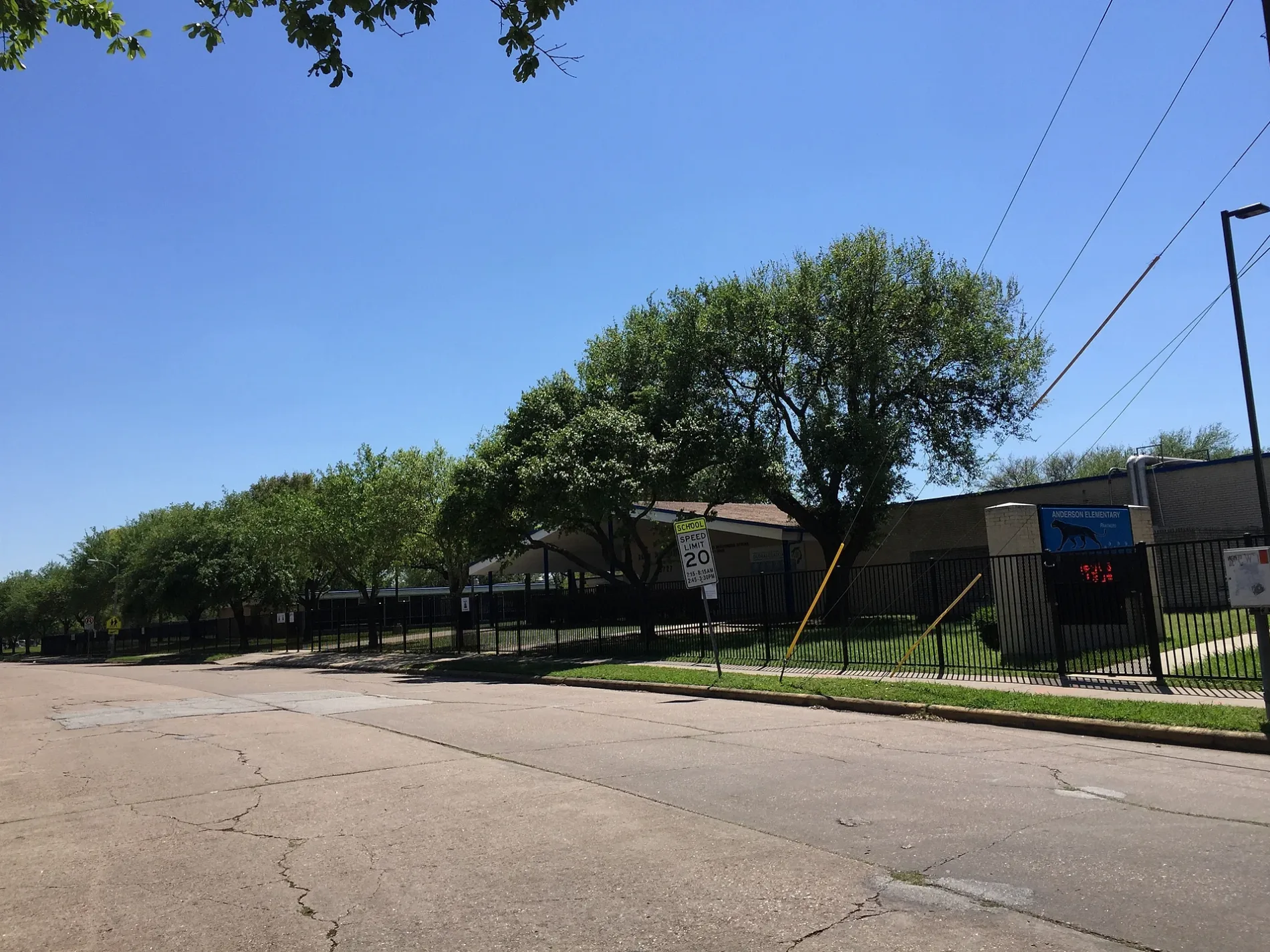
Cerritos Drive in Houston is a residential street. It runs in an east-west direction starting from Mullins Drive and ends at Cartagena Street. Cerritos Drive also exists in Collin County.
- Road Type
- residential street
- Route
- east-west
Image
Artworks
Bakeries
Secondhand stores
Auto repair shops
Schools
Public bookcases
Cell phone stores
Restaurants
Liquor stores
Nightclubs
Tourist information centers
Furniture stores
Places of worship
Fast food restaurants
Bars
Streets nearby
Cartagena Street300 ft
Renwick DriveHouston Police Department - Gulfton, Gulfton, Cicis, Chinese Buffet
0.1 mi
Landsdowne Drive0.1 mi
South Renwick Drive0.1 mi
Chimney Rock RoadCVS Pharmacy, Domino's, Metro by T-Mobile, Lo Price Liquor & Tobacco, Dr. Philip A. Matorin MD, Pilgrim Lutheran Church, Line 32, Church's Chicken, Chipotle, Natural Pawz, Bird's Eye View Optometry, Line 49, Uptown Shears, Rich Cleaners, Kolache Factory, Burganic Hub, Lauren’s Fragrances, Asian Cafe, The Hat Store, THS Ranch, TitleMax, French Riviera Bakery & Cafe, Massage Heaven
0.2 mi
Gasmer Drive0.2 mi
Mullins Drive0.2 mi
Belrose Drive0.2 mi
Dawnridge Drive0.2 mi
Burdine0.3 mi
Mc Knight Street0.3 mi
Duxbury Street0.3 mi
West Bellfort StreetStella, Meyerland, Westbury, The Samaritan Furniture, Braes Resale, Bakery Inka Havana, Fannin South Transit Center, Fannin South, Solid Rock Baptist Church, McDonald's, United Sisters, Grace Episcopal Church
0.4 mi
Effingham Drive0.4 mi
Atwell DrivePlanned Parenthood, CN Nails, Pho VN 21
0.4 mi
Dryad Drive0.4 mi
Arboles Drive0.5 mi
Burdine Street0.5 mi
Stone West Drive0.5 mi
West Airport BoulevardAllum Boat & RV Storage, Jack in the Box, McDonald's, Southmeadow West Airport Homeowners Association, El Kiosko
0.6 mi
Stone East Drive0.6 mi
Auto repair shops nearby
Care Car Tec0.2 mi
Westbury Automotive0.5 mi
Buildings nearby
Laundry0.3 mi
Mail0.4 mi
Community centers nearby
Platou Community Center0.3 mi
Convenience stores nearby
Gasmer Food Mart0.4 mi
Concessions and Restrooms0.5 mi
Ditches nearby
Willow Waterhole Bayou500 ft
Fire stations nearby
Houston Fire Station Number 480.2 mi
Hardware stores nearby
The Home Depot0.4 mi
Industrial areas nearby
Chimney Rock #2 LS FN0530.3 mi
Libraries nearby
Walker Neighborhood Library0.2 mi
Office buildings nearby
Westbury Professional Building0.5 mi
Parks nearby
Rita Woodward Environmental Nature Park0.2 mi
Chimney Rock Park0.3 mi
Lee Hager Park0.4 mi
Post offices nearby
Westbury Post Office0.2 mi
Pubs nearby
Cozy Corner0.2 mi
Residential areas nearby
Spring Creek Apartments0.1 mi
Westbury Square Townhomes0.3 mi
Piccadilly Place Apts0.3 mi
Westbury Square0.4 mi
Las Villas Del Parque0.5 mi
Westbury Manor Apartments0.5 mi
Westbury Park Apartments0.5 mi
Retail buildings nearby
SOS-ASAP0.2 mi
Sports centers nearby
Westbury Courts0.4 mi
Sports fields nearby
Field M10.5 mi
 Public transit map Houston Legend
| Railway | |
| Bus | |
| Streetcar |
 Bicycle map Houston Legend
| Bike path | |
| Bike lane on roadway | |
| Cycling allowed on bus lane | |
| Bicycle street | |
| Open to cyclists | |
| Open to cyclists, good path | |
| Cycling prohibited | |
| Cobblestone |
| Long-distance bike route | (depending on scale) | |
| Long-distance bike route |
 Pedestrian map Houston Legend
| Path |
| Long-distance hiking trail | (depending on scale) | |
| Long-distance hiking trail | ||
| Pedestrians prohibited |