
Landsdowne Drive in Houston
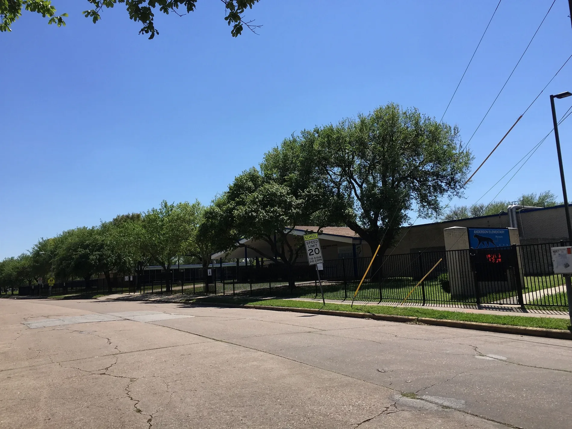
Landsdowne Drive in Houston is a two-lane residential street. It runs in a north-south direction starting from Warm Springs Road and crosses Mc Knight Street, Arboles Drive, Belrose Drive, Burlinghall Drive, Capello Drive, Cerritos Drive, Cartagena Street, Ludington Drive, Dawnridge Drive, Duxbury Street and Dryad Drive. Landsdowne Drive also exists in Collin County.
- Road Type
- residential street
- Route
- north-south
Image
Artworks
Bakeries
Fast food restaurants
Bars
Cafes
Public bookcases
Furniture stores
Secondhand stores
Cell phone stores
Schools
Tourist information centers
Places of worship
Liquor stores
Restaurants
Auto repair shops
Streets nearby
Mc Clearen Drive0.1 mi
Mullins Drive0.1 mi
Cerritos Drive0.1 mi
Capello Drive0.2 mi
Warm Springs Road0.2 mi
Renwick DriveHouston Police Department - Gulfton, Gulfton, Cicis, Chinese Buffet
0.2 mi
Burlinghall Drive0.2 mi
South Renwick Drive0.3 mi
Dawnridge Drive0.3 mi
Arboles Drive0.3 mi
Belrose Drive0.3 mi
Ludington Drive0.3 mi
Chimney Rock RoadCVS Pharmacy, Domino's, Metro by T-Mobile, Lo Price Liquor & Tobacco, Dr. Philip A. Matorin MD, Pilgrim Lutheran Church, Line 32, Church's Chicken, Chipotle, Natural Pawz, Bird's Eye View Optometry, Line 49, Uptown Shears, Rich Cleaners, Kolache Factory, Burganic Hub, Lauren’s Fragrances, Asian Cafe, The Hat Store, THS Ranch, TitleMax, French Riviera Bakery & Cafe, Massage Heaven
0.3 mi
Gasmer Drive0.3 mi
Rampart StreetBissonnet Medical Clinic, Maru Grocery
0.4 mi
Burdine Street0.4 mi
Spellman Road0.4 mi
Duxbury Street0.4 mi
Dunlap StreetFamsa Furniture, Walgreens
0.4 mi
Atwell DrivePlanned Parenthood, CN Nails, Pho VN 21
0.4 mi
Burdine0.4 mi
Mc Knight Street0.4 mi
Benning Drive0.4 mi
West Bellfort StreetStella, Meyerland, Westbury, The Samaritan Furniture, Braes Resale, Bakery Inka Havana, Fannin South Transit Center, Fannin South, Solid Rock Baptist Church, McDonald's, United Sisters, Grace Episcopal Church
0.4 mi
Sanford RoadHouston Police Department - Fondren Patrol
0.5 mi
Kirkside Drive0.5 mi
Cartagena Street0.5 mi
Ashcroft Drive0.5 mi
Westbury Square0.5 mi
Spellman Court0.6 mi
Portal Drive0.6 mi
Crestmore Street0.6 mi
Beaudry Drive0.6 mi
Claridge Drive0.6 mi
Hillcroft AvenueGoodwill, Jiffy Lube, Baskin-Robbins, Bombay Sweets Inc., Bijan Persian Grill, La Pupusa Loca, Office Depot, Chatt 'N Paan, Momo House, The Afghan Village Resturant, Buffet de Pupusas, Lizbeth's Salon, Chase, Jack in the Box, Sonic, Happy Lamp Restaurant, Russian General Store, Bismillah Restaurant & Cafe, Busy Boy, Reza Persian Grill, Bawa Jewelers, Aisha's Salon & Spa, Imran's, Hot Breads, Halal Wok, Kwality Ice Cream, Kandahari, Darband Shishkabob, Kabul Cuisine, India Mart, Keemat Grocers, Karat 22 Jewelers, Shri Balaji Bhavan, Al-Aqsa Halal Meat, Sari Sapne, EZ SHIP, Sell Phone 360, Raja Sweets, Kala Niketan Salwar-Kameez
0.6 mi
Bankside Drive0.6 mi
Auto repair shops nearby
Care Car Tec0.4 mi
Buildings nearby
Laundry0.4 mi
Mail0.5 mi
Ditches nearby
Willow Waterhole Bayou0.2 mi
Fire stations nearby
Houston Fire Station Number 480.4 mi
Libraries nearby
Walker Neighborhood Library0.3 mi
Parks nearby
Rita Woodward Environmental Nature Park0.4 mi
Post offices nearby
Westbury Post Office0.4 mi
Pubs nearby
Cozy Corner0.3 mi
Residential areas nearby
Spring Creek Apartments0.3 mi
Westbury Square Townhomes0.4 mi
Westbury Square Apartments0.5 mi
Retail buildings nearby
SOS-ASAP0.4 mi
 Public transit map Houston Legend
| Railway | |
| Bus | |
| Streetcar |
 Bicycle map Houston Legend
| Bike path | |
| Bike lane on roadway | |
| Cycling allowed on bus lane | |
| Bicycle street | |
| Open to cyclists | |
| Open to cyclists, good path | |
| Cycling prohibited | |
| Cobblestone |
| Long-distance bike route | (depending on scale) | |
| Long-distance bike route |
 Pedestrian map Houston Legend
| Path |
| Long-distance hiking trail | (depending on scale) | |
| Long-distance hiking trail | ||
| Pedestrians prohibited |