
Quinlan Street in Kerrville, Texas
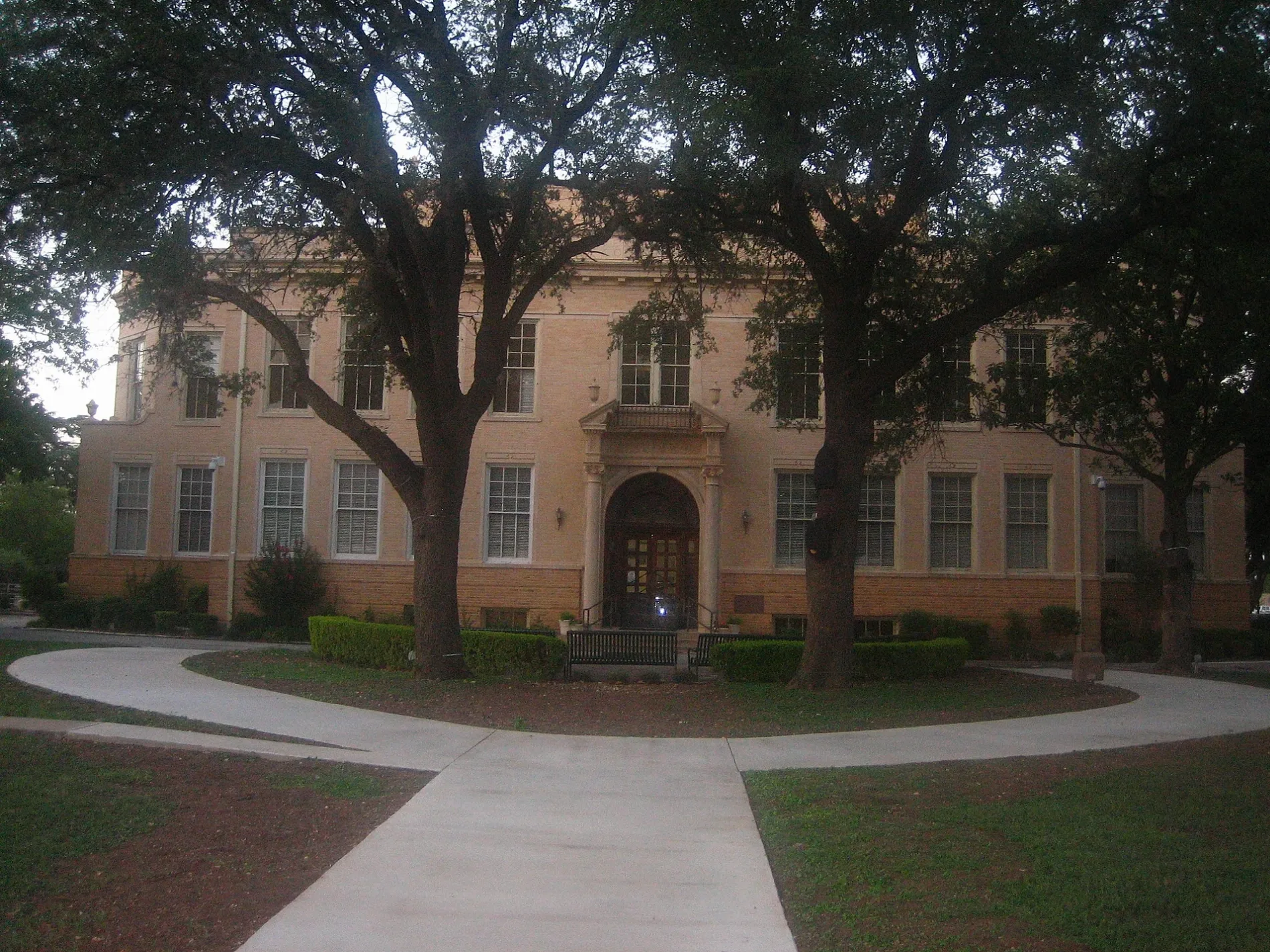
Quinlan Street in Kerrville is a residential street. It runs in a northeast-southwest direction and crosses Charles Street, Scott Street, Barnett Street, McFarland Drive, Schreiner Street, Jefferson Street and Main Street and ends at Water Street, while the other end is a cul-de-sac.
- Road Type
- residential street
- Route
- northeast-southwest
Image
Restaurants
Places of worship
Clothing stores
Pet stores
Doctor's offices
Fast food restaurants
Department stores
Artworks
Banks
Car washes
Hair salons
Cell phone stores
Pharmacies
Massage therapy clinics
Clinics
Hearing aid centers
Streets nearby
Hays Street500 ft
Clay Street0.1 mi
Jefferson StreetTotal Image Salon, Kerrville
0.1 mi
Main StreetH-E-B Pharmacy, Cricket Wireless, Jimmy John's, Daily Donuts
0.1 mi
River TrailLupe
0.2 mi
Schreiner Street0.2 mi
Herzog Street0.2 mi
McFarland Drive0.2 mi
Loop 130.3 mi
Water StreetGrape Juice, PO PO Restaurant @ Pampell's Corner, Francisco's Restaurant
0.3 mi
Rodriguez Street0.3 mi
Francisco Lemos Street0.3 mi
West Schreiner Street0.3 mi
Paschal Avenue0.4 mi
West Main Street0.4 mi
West McFarland Drive0.4 mi
Lawson Street0.4 mi
Lawson Street North0.4 mi
Shops nearby
Hill Country Loans150 ft
Lonestar Title Loans0.2 mi
Auto parts stores nearby
Napa Auto Parts0.1 mi
Banks nearby
Broadway Bank350 ft
Pioneer Bank0.1 mi
Buildings nearby
Arden Hills Realty500 ft
Municipal Court0.3 mi
City of Kerrville Water Distribution0.3 mi
City of Kerrville Garage0.3 mi
Riverside Nature Center0.3 mi
City of Kerrville Parks Maintenance0.3 mi
Car dealerships nearby
Crenwelge Motors0.2 mi
Family Auto Sales of Kerrville0.2 mi
Dentist's offices nearby
Kerrville Family Dental350 ft
Drugstores nearby
CVS Pharmacy0.3 mi
Electronics stores nearby
EntertainMART350 ft
Garden centers nearby
The Plant Haus0.2 mi
Gas stations nearby
Shell450 ft
Hi-fi stores nearby
TNT Audio0.3 mi
Laundries nearby
Country Clean Laundromat0.1 mi
Libraries nearby
Kerr Regional History Center500 ft
Butt-Holdsworth Memorial Library500 ft
Office buildings nearby
Kerrville Cancer Center | City University0.2 mi
Parking lots nearby
Public Downtown Parking Garage0.1 mi
Pubs nearby
Pint & Plow550 ft
Residential areas nearby
River Oaks Apartments0.2 mi
Restaurants nearby
Cowboy Steak House200 ft
Rivers nearby
Town Creek0.4 mi
Supermarkets nearby
H-E-B350 ft
Tea shops nearby
Brewtopia Tea House0.1 mi
Variety stores nearby
Gibson's Discount Center0.4 mi
Public transit map Kerrville Legend
| Railway | |
| Bus | |
| Streetcar |
Bicycle map Kerrville Legend
| Bike path | |
| Bike lane on roadway | |
| Cycling allowed on bus lane | |
| Bicycle street | |
| Open to cyclists | |
| Open to cyclists, good path | |
| Cycling prohibited | |
| Cobblestone |
| Long-distance bike route | (depending on scale) | |
| Long-distance bike route |
Pedestrian map Kerrville Legend
| Path |
| Long-distance hiking trail | (depending on scale) | |
| Long-distance hiking trail | ||
| Pedestrians prohibited |