
Schreiner Street in Kerrville, Texas
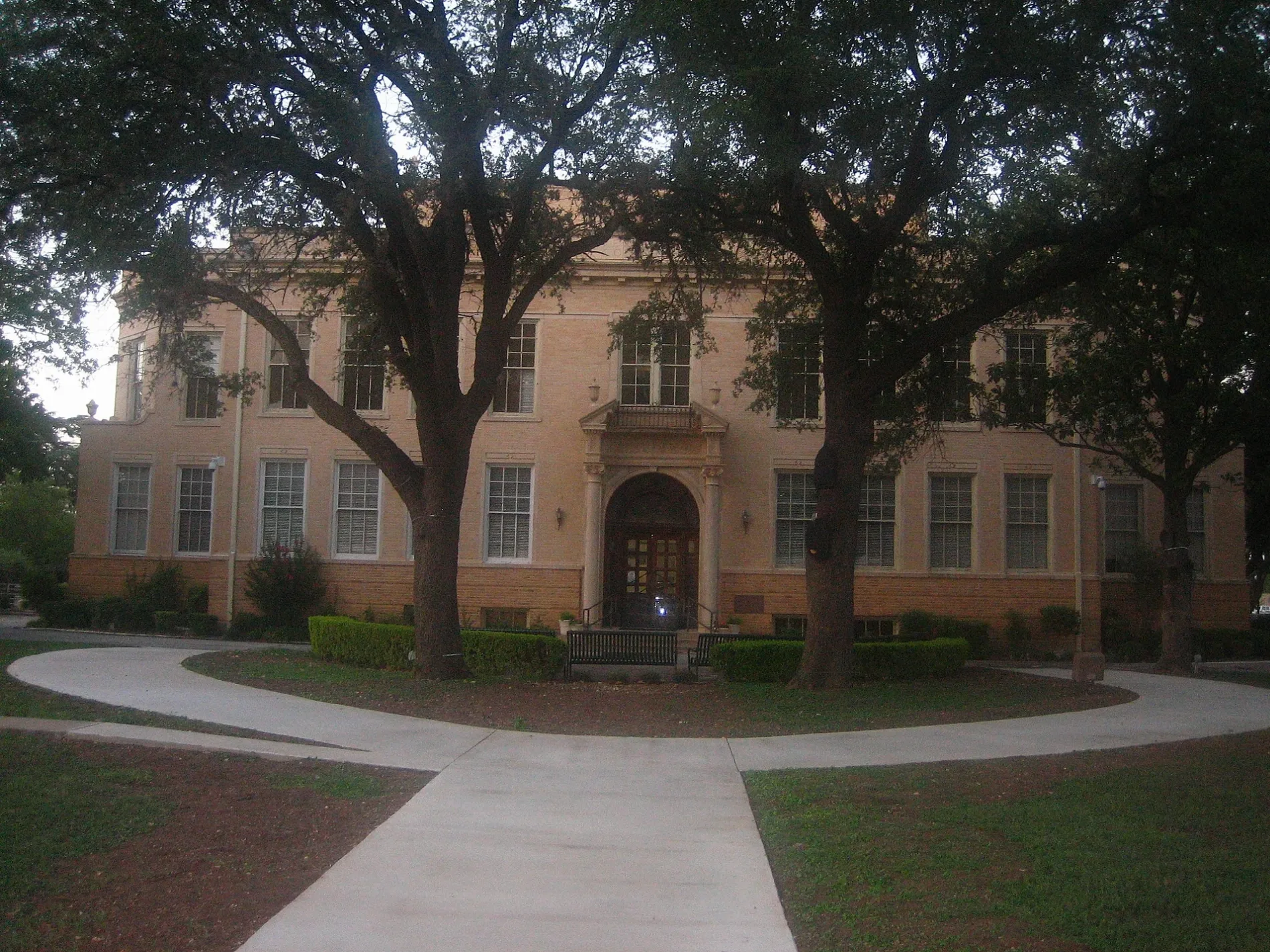
Schreiner Street in Kerrville is a residential street. No sidewalks. It runs in a southeast-northwest direction starting from West Schreiner Street and crosses Rodriguez Street, Hays Street, Quinlan Street, Clay Street and Sidney Baker Street and ends at North Street.
- Road Type
- residential street
- Speed Limit
- 30 mph
- Route
- southeast-northwest
Image
Restaurants
Places of worship
Artworks
Clothing stores
Car washes
Fast food restaurants
Pharmacies
Massage therapy clinics
Banks
Pet stores
Hair salons
Cell phone stores
Department stores
Clinics
Hearing aid centers
Streets nearby
Clay Street0.1 mi
Sidney Baker StreetHalo Hair Studio, McDonald's, Qdoba, Starbucks
0.2 mi
Jefferson StreetTotal Image Salon, Kerrville
0.2 mi
Main StreetH-E-B Pharmacy, Cricket Wireless, Jimmy John's, Daily Donuts
0.2 mi
McFarland Drive0.2 mi
Barnett Street0.2 mi
North Street0.2 mi
Scott Street0.2 mi
Earl Garrett StreetKerrville Christian Center
0.2 mi
East Davis Street0.3 mi
Charles Street0.3 mi
Pearl Street0.3 mi
Hays Street0.3 mi
Auto parts stores nearby
Napa Auto Parts0.1 mi
O'Reilly Auto Parts0.2 mi
Auto repair shops nearby
Service Pro Quick Lube0.3 mi
Banks nearby
Broadway Bank0.1 mi
Pioneer Bank0.2 mi
Beauty salons nearby
JT Nails Spa0.2 mi
Buildings nearby
Zuber Construction, Inc.0.1 mi
Arden Hills Realty0.1 mi
Hewitt Engineering Inc.0.2 mi
City of Kerrville Water Distribution0.2 mi
Municipal Court0.3 mi
City of Kerrville Streets0.3 mi
Commercial buildings nearby
Grimes Funeral Home0.2 mi
Convenience stores nearby
Circle K0.1 mi
Courthouses nearby
Kerr County Courthouse0.2 mi
Dentist's offices nearby
Kerrville Family Dental0.1 mi
Gary A. Thorne DDS Inc.0.2 mi
Gary A. Crozier DDS0.2 mi
Tracy H. Holmes DDS0.3 mi
Drugstores nearby
Walgreens400 ft
Fast food restaurants nearby
Freddy's Frozen Custard & Steakburgers450 ft
Taco to Go450 ft
McDonald's500 ft
Chicken Express0.1 mi
Burger King0.2 mi
Taco Bell0.2 mi
Garden centers nearby
The Plant Haus400 ft
Gas stations nearby
Valero0.1 mi
Shell0.2 mi
Places of worship nearby
Zion Lutheran Church0.2 mi
Police stations nearby
Kerrville Police Department0.1 mi
Pubs nearby
Pint & Plow0.1 mi
Restaurants nearby
Rails250 ft
Broken Stone Pizza Company0.3 mi
Social facilities nearby
Chrstian Assistance Ministry0.1 mi
Tea shops nearby
Brewtopia Tea House350 ft
Public transit map Kerrville Legend
| Railway | |
| Bus | |
| Streetcar |
Bicycle map Kerrville Legend
| Bike path | |
| Bike lane on roadway | |
| Cycling allowed on bus lane | |
| Bicycle street | |
| Open to cyclists | |
| Open to cyclists, good path | |
| Cycling prohibited | |
| Cobblestone |
| Long-distance bike route | (depending on scale) | |
| Long-distance bike route |
Pedestrian map Kerrville Legend
| Path |
| Long-distance hiking trail | (depending on scale) | |
| Long-distance hiking trail | ||
| Pedestrians prohibited |