
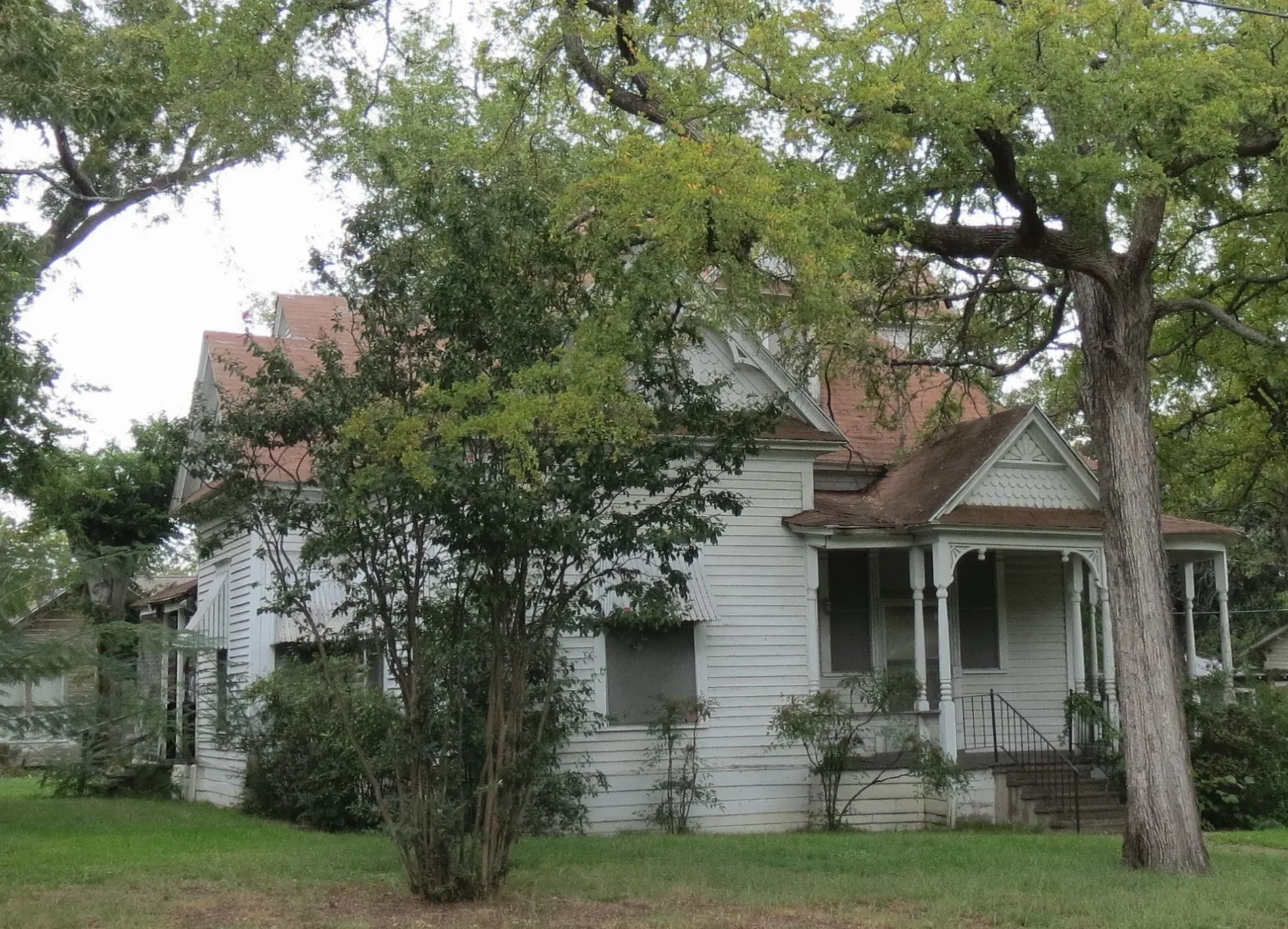
12th Street Southwest in Paris, Texas
12th Street Southwest in Paris is a residential street. It runs in a north-south direction starting from 12th Street Northwest and crosses Bonham Street and West Kaufman Street and ends at West Sherman Street. 12th Street Southwest also exists in Childress County.
- Road Type
- residential street
- Route
- north-south
Image
Museums
- Lamar County Historical Museum (Lamar County Historical Society, opening hours: Fri–Sat 10–16, Web) at West Kaufman Street 1009 (75460) – approx. 0.2 mi.
Supermarkets
Hotels
Bus stops
Places of worship
Restaurants
Cafes
Streets nearby
Sperry Street500 ft
West Sherman Street19th St SW and W Sherman St, W Sherman St and 1st St SW, W Sherman St and 4th St SW
0.1 mi
Trail de Paris West ExtensionTrail de Paris West Extension Crosswalk
0.1 mi
13th Street Southwest0.1 mi
11th Street Southwest0.2 mi
9th Street Southwest0.2 mi
15th Street Southwest0.2 mi
16th Street Southwest0.3 mi
West Brame Street0.3 mi
10th Street Southwest0.3 mi
West Washington StreetW Washington St and 10th St SW, ENTRANCE-Paris Retirement Village and W Washington St
0.3 mi
Carr Alley0.3 mi
Chism Street0.3 mi
8th Street Southwest0.3 mi
Connor Street0.3 mi
12th Street Northwest0.3 mi
West Houston StreetLAMAR County Courthouse
0.3 mi
14th Street Northwest0.3 mi
17th Street Southwest0.4 mi
Shady Oaks Lane0.4 mi
West Austin Street0.4 mi
9th Street Northwest0.4 mi
7th Street Southwest7th St SW and W Sherman St, W Washington St and 7th St SW
0.4 mi
5th Street Southwest0.4 mi
Maple Avenue0.4 mi
17th Street Northwest0.4 mi
West Kaufman StreetW Kaufman St and 19th St NW, Lamar County Historical Museum, Valley of the Caddo Museum and Cultural Center, Tacos Queretaro
0.4 mi
18th Street Southwest0.4 mi
Ashby Street0.4 mi
10th Street Northwest0.4 mi
11th Street NorthwestSolid Rock Baptist Church
0.5 mi
Graham StreetTravis Junior High School
0.5 mi
15th Street Northwest0.5 mi
6th Street NorthwestPiggly Wiggly
0.5 mi
Dickson Street0.5 mi
Buildings nearby
Historic Union Depot0.2 mi
Captain J.M. Daniel House0.5 mi
Convenience stores nearby
City Mart0.4 mi
Gas stations nearby
Shamrock0.4 mi
Houses nearby
Wise-Fielding House0.5 mi
Industrial areas nearby
Coca-Cola of Paris0.3 mi
Parks nearby
Wise Field0.5 mi
Places of worship nearby
Freedom Tabernacle Church of God in Christ0.2 mi
Bonham Street Church of Christ0.3 mi
Paris Church of God0.3 mi
Immanuel Baptist Church0.4 mi
First Presbyterian Church0.5 mi
Faith Tabernacle Baptist Church0.5 mi
Variety stores nearby
Dollar General0.4 mi
 Public transit map Paris Legend
| Railway | |
| Bus | |
| Streetcar |
 Bicycle map Paris Legend
| Bike path | |
| Bike lane on roadway | |
| Cycling allowed on bus lane | |
| Bicycle street | |
| Open to cyclists | |
| Open to cyclists, good path | |
| Cycling prohibited | |
| Cobblestone |
| Long-distance bike route | (depending on scale) | |
| Long-distance bike route |
 Pedestrian map Paris Legend
| Path |
| Long-distance hiking trail | (depending on scale) | |
| Long-distance hiking trail | ||
| Pedestrians prohibited |