
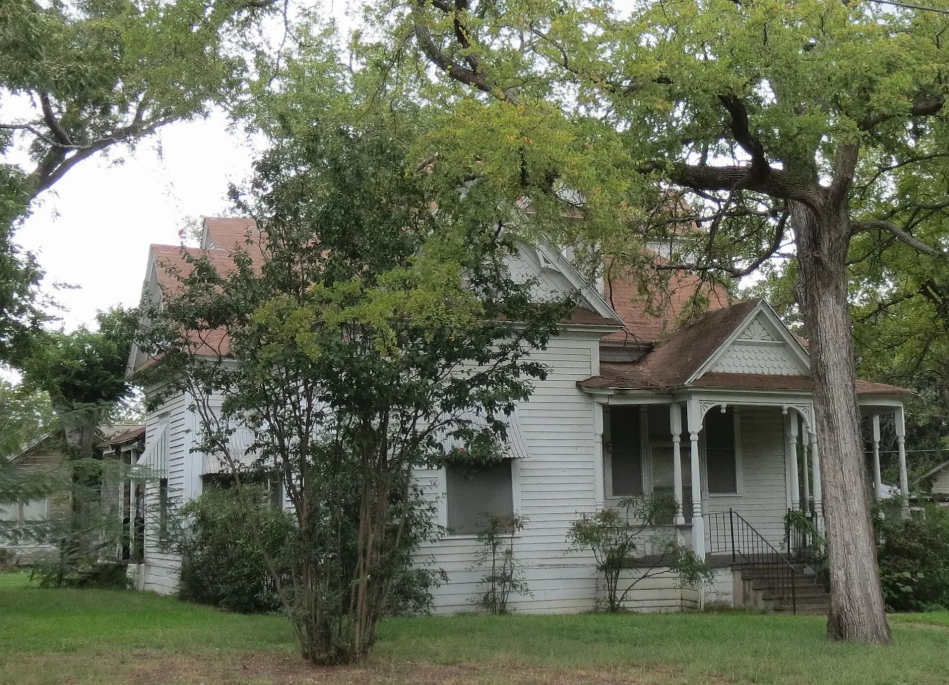
Chism Street in Paris, Texas
Chism Street in Paris is a residential street. It runs in an east-west direction starting from 10th Street Southwest and crosses 9th Street Southwest and ends at 7th Street Southwest. Chism Street also exists in Liberty County and Shackelford County.
- Road Type
- residential street
- Route
- east-west
Image
Museums
- Lamar County Historical Museum (Lamar County Historical Society, opening hours: Fri–Sat 10–16, Web) at West Kaufman Street 1009 (75460) – approx. 0.3 mi.
Supermarkets
Cafes
Bus stops
Places of worship
Restaurants
Hotels
Streets nearby
10th Street Southwest200 ft
7th Street Southwest7th St SW and W Sherman St, W Washington St and 7th St SW
0.1 mi
Carr Alley0.2 mi
6th Street Southwest0.3 mi
12th Street Southwest0.3 mi
Parr Avenue0.3 mi
5th Street Southwest0.3 mi
9th Street Southwest0.3 mi
West Washington StreetW Washington St and 10th St SW, ENTRANCE-Paris Retirement Village and W Washington St
0.3 mi
8th Street Southwest0.4 mi
Trail de Paris West ExtensionTrail de Paris West Extension Crosswalk
0.4 mi
Frisco Avenue0.4 mi
3rd Street Southwest0.4 mi
Brown Avenue0.4 mi
11th Street Southwest0.4 mi
4th Street Southwest0.4 mi
West Kaufman StreetLamar County Historical Museum, Valley of the Caddo Museum and Cultural Center, Tacos Queretaro, W Kaufman St and 19th St NW
0.4 mi
Northeast Texas TrailTrail de Paris Crosswalk, NorthEast Texas Trail Info Kiosk
0.4 mi
West Hearne Avenue0.4 mi
West Brame Street0.4 mi
South Main StreetRosewood Local Eatery
0.5 mi
Sycamore StreetMount Canaan Baptist Church
0.5 mi
2nd Street Southwest0.5 mi
West Long Avenue0.5 mi
Grand Avenue0.5 mi
West Austin Street0.6 mi
1st Street Southwest0.6 mi
East Austin Street0.6 mi
East Washington Street0.6 mi
East Hearne Avenue0.6 mi
East Brame Street0.6 mi
South Church StreetA-1 Truck - Trailer & Auto Service
0.6 mi
East Long Avenue0.6 mi
Orange Street0.6 mi
Buildings nearby
Historic Union Depot0.4 mi
Captain J.M. Daniel House0.4 mi
Samuel Bell Maxey House0.6 mi
1931 Corinthia Peristyle0.6 mi
Convenience stores nearby
City Mart0.4 mi
Gas stations nearby
Shamrock0.5 mi
Houses nearby
Wise-Fielding House0.2 mi
Libraries nearby
Paris Public Library0.5 mi
Parks nearby
Wise Field0.3 mi
Skate Park0.5 mi
Sam Bell Maxey House State Historic Site0.5 mi
Bywaters Park0.6 mi
Places of worship nearby
Freedom Tabernacle Church of God in Christ0.3 mi
First Presbyterian Church0.4 mi
Restaurants nearby
The Depot Bar & Grill0.6 mi
 Public transit map Paris Legend
| Railway | |
| Bus | |
| Streetcar |
 Bicycle map Paris Legend
| Bike path | |
| Bike lane on roadway | |
| Cycling allowed on bus lane | |
| Bicycle street | |
| Open to cyclists | |
| Open to cyclists, good path | |
| Cycling prohibited | |
| Cobblestone |
| Long-distance bike route | (depending on scale) | |
| Long-distance bike route |
 Pedestrian map Paris Legend
| Path |
| Long-distance hiking trail | (depending on scale) | |
| Long-distance hiking trail | ||
| Pedestrians prohibited |