
Cedar Street in Sweetwater, Texas
Cedar Street in Sweetwater is a two-lane, asphalted residential street. It runs in a southeast-northwest direction starting from East 5th Street and crosses East 4th Street and East 3rd Street and ends at East Broadway Street. Cedar Street also exists in Roscoe.
- Road Type
- residential street
- Lanes
- 2
- Speed Limit
- 30 mph
- Route
- southeast-northwest
Image
Pharmacies
Weighbridges
Department stores
Vending machines
Bus stops
Fast food restaurants
Hair salons
Variety stores
Museums
- Pioneer Museum (opening hours: Tue–Fri 13–16; Sat 11–15, Web) at East 3rd Street 610 (79556) – approx. 0.2 mi.
Garden centers
Places of worship
Restaurants
Laundries
Cell phone stores
Charging stations
Streets nearby
East 4th Street450 ft
East 3rd Street0.1 mi
Lamar StreetSweetwater, Lee's Barber Shop, Security Finance, Cricket Wireless
0.2 mi
Locust StreetSaint Stephens Episcopal Church
0.2 mi
Pine Street0.2 mi
East 5th Street0.2 mi
East Avenue A0.2 mi
Crane StreetBrookshire's Pharmacy
0.2 mi
East 1st StreetFamily Dollar, Quick Wash
0.2 mi
Oak Street0.2 mi
East Broadway StreetSubway, Sears
0.2 mi
Ragland StreetPioneer Museum
0.2 mi
East 9th Street0.3 mi
West Broadway Street0.3 mi
West 5th Street0.3 mi
East 10th Street0.3 mi
Elm Street0.3 mi
Pecan Street0.3 mi
Ash Street0.4 mi
East 11th Street0.4 mi
West 3rd Street0.4 mi
West 4th Street0.4 mi
Fowler Street0.5 mi
West 10th Street0.5 mi
Burch Street0.5 mi
East 13th Street0.5 mi
Amenities nearby
Kid's Kampus Child Care Center0.4 mi
Auto parts stores nearby
O'Reilly Auto Parts0.2 mi
NAPA Auto Parts0.3 mi
Banks nearby
Roscoe State Bank150 ft
First Financial Bank500 ft
Texas National Bank0.1 mi
Buildings nearby
Nolan County Appraisal District400 ft
Edward Jones400 ft
Burnett Barn0.6 mi
Convenience stores nearby
Allsup's0.1 mi
7-Eleven0.4 mi
Courthouses nearby
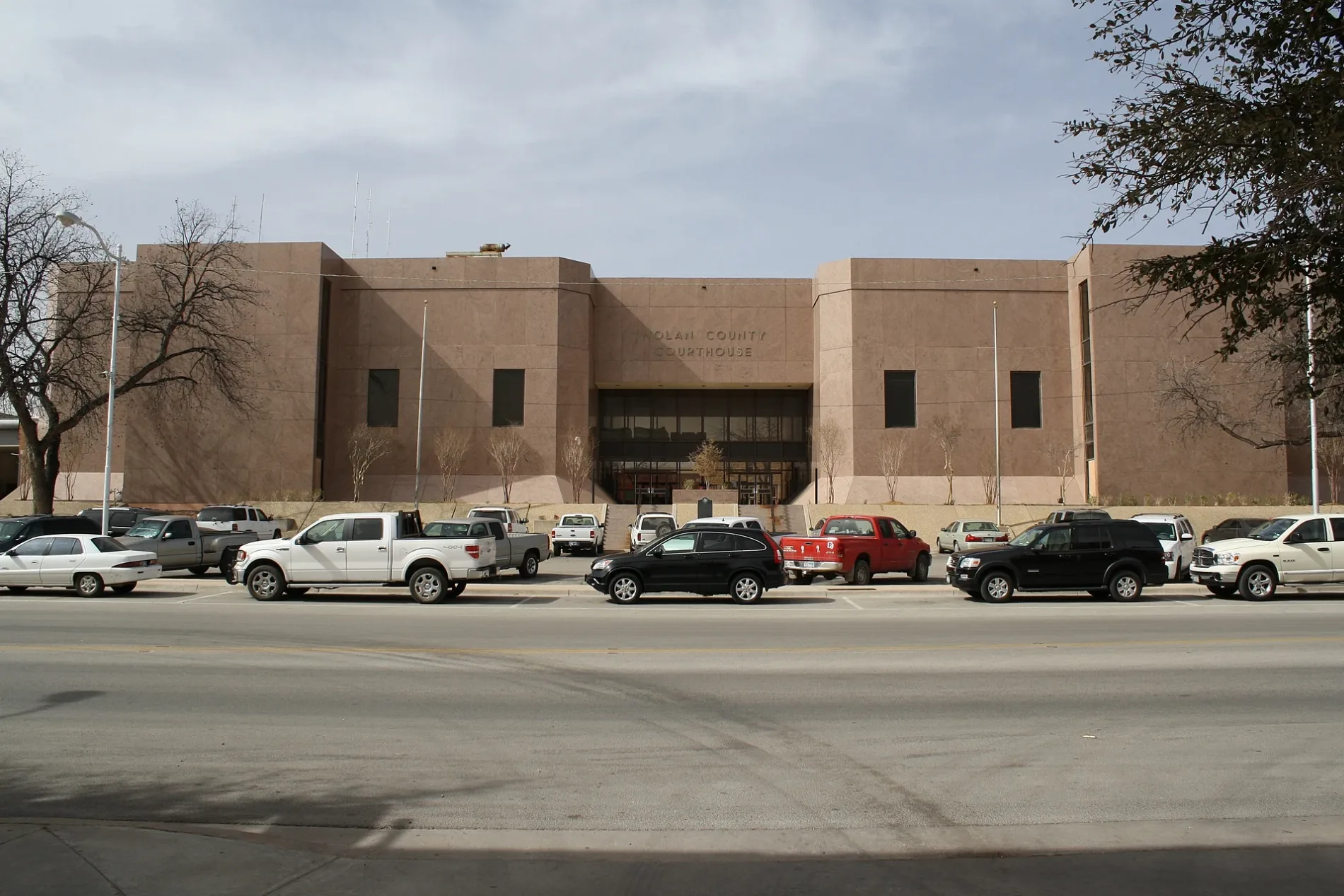
Nolan County Courthouse0.2 mi
Funeral homes nearby
McCoy Funeral Home150 ft
Places of worship nearby
First United Methodist Church250 ft
4th and Elm Church of Christ450 ft
Sweetwater Church of God500 ft
First Baptist Church0.1 mi
The Church of Jesus Christ of Latter-day Saints0.3 mi
Post offices nearby
United States Post Office0.1 mi
Railways nearby
UP Baird Subdivision0.2 mi
Residential areas nearby
Elm Street Aparments0.2 mi
Supermarkets nearby
Brookshire's0.1 mi
Tire dealers nearby
Dale Martin & Son Tire0.1 mi
 Public transit map Sweetwater Legend
| Railway | |
| Bus | |
| Streetcar |
 Bicycle map Sweetwater Legend
| Bike path | |
| Bike lane on roadway | |
| Cycling allowed on bus lane | |
| Bicycle street | |
| Open to cyclists | |
| Open to cyclists, good path | |
| Cycling prohibited | |
| Cobblestone |
| Long-distance bike route | (depending on scale) | |
| Long-distance bike route |
 Pedestrian map Sweetwater Legend
| Path |
| Long-distance hiking trail | (depending on scale) | |
| Long-distance hiking trail | ||
| Pedestrians prohibited |