
East Broadway Street in Sweetwater, Texas
East Broadway Street in Sweetwater is a two-lane, asphalted main road (Road number I 20 Bus). It runs in a northeast-southwest direction starting from West Broadway Street and crosses Oak Street, Lamar Street, Locust Street, Elm Street, Cedar Street, Pine Street, Crane Street, Ragland Street, McCauley Street, Beall Street and Hailey Street. It ends in a cul-de-sac. This street is part of the highways 70, 20 and Former US 80 (TX 1931). Nearby you can find a fast food restaurant and a department store. East Broadway Street also exists in Brazoria County, Hansford County, Hutchinson County, Carson County and Terry County.
- Road Type
- main road
- Lanes
- 2
- Route
- northeast-southwest
Image
Streets nearby
West Broadway Street400 ft
East 1st StreetFamily Dollar, Quick Wash
550 ft
Oak Street0.1 mi
West Avenue A0.1 mi
Lamar StreetSweetwater, Lee's Barber Shop, Security Finance, Cricket Wireless
0.1 mi
Locust StreetSaint Stephens Episcopal Church
0.2 mi
West Avenue B0.2 mi
West 1st Street0.2 mi
West 3rd Street0.2 mi
Cedar Street0.2 mi
West 5th Street0.2 mi
Cypress Street0.2 mi
East 4th Street0.2 mi
East 5th Street0.2 mi
West 4th Street0.3 mi
El Paso Street0.3 mi
Ash Street0.3 mi
Orange Street0.3 mi
West Avenue C0.3 mi
Pecan Street0.3 mi
East Avenue A0.3 mi
East 3rd Street0.3 mi
West Avenue D0.4 mi
Bell StreetBautista Primera Iglesia Church
0.4 mi
East 9th Street0.4 mi
Murrah Street0.4 mi
Pine Street0.4 mi
West 6th Street0.4 mi
Beryle Street0.4 mi
Auto parts stores nearby
NAPA Auto Parts0.1 mi
Banks nearby
First Financial Bank0.1 mi
Roscoe State Bank0.2 mi
Texas National Bank0.2 mi
Buildings nearby
Nolan County Appraisal District0.2 mi
Edward Jones0.2 mi
Convenience stores nearby
Allsup's0.2 mi
Courthouses nearby
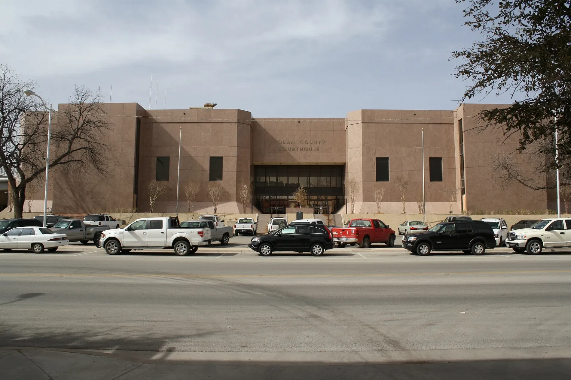
Nolan County Courthouse400 ft
Funeral homes nearby
McCoy Funeral Home0.2 mi
Places of worship nearby
First Baptist Church0.2 mi
First United Methodist Church0.2 mi
4th and Elm Church of Christ0.3 mi
Sweetwater Church of God0.3 mi
First Apostolic Tabernacle0.3 mi
Post offices nearby
United States Post Office0.1 mi
Railways nearby
UP Toyah Subdivision0.1 mi
Residential areas nearby
Elm Street Aparments0.3 mi
Supermarkets nearby
Brookshire's0.4 mi
Tire dealers nearby
Dale Martin & Son Tire0.1 mi
Other nearby
Sweetwater Downtown Substation0.3 mi
Public transit map Sweetwater Legend
| Railway | |
| Bus | |
| Streetcar |
Bicycle map Sweetwater Legend
| Bike path | |
| Bike lane on roadway | |
| Cycling allowed on bus lane | |
| Bicycle street | |
| Open to cyclists | |
| Open to cyclists, good path | |
| Cycling prohibited | |
| Cobblestone |
| Long-distance bike route | (depending on scale) | |
| Long-distance bike route |
Pedestrian map Sweetwater Legend
| Path |
| Long-distance hiking trail | (depending on scale) | |
| Long-distance hiking trail | ||
| Pedestrians prohibited |