
Sherman Street in Rockwall, Texas
Sherman Street in Rockwall is a two-lane residential street. It runs in a north-south direction starting from Storrs Street and ends at Saint Marys Street. Sherman Street also exists in Travis County, Guadalupe County, Bexar County, Montgomery County and Harris County.
- Road Type
- residential street
- Lanes
- 2
- Speed Limit
- 25 mph
- Route
- north-south
Image
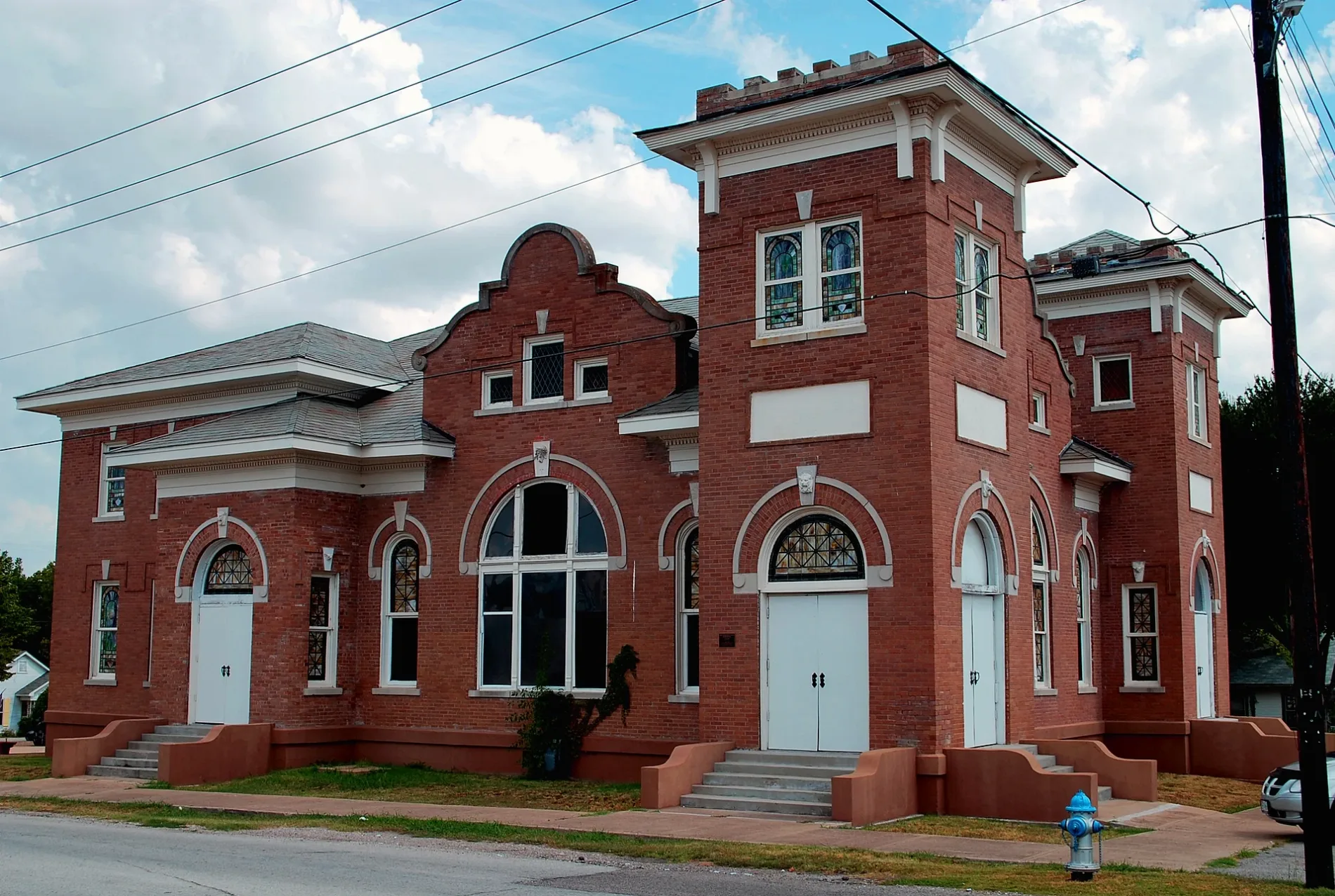
Places of worship
Beauty salons
Auto repair shops
Hair salons
Jewelry stores
Restaurants
Fast food restaurants
Antique stores
Clothing stores
Mailboxes
Laundries
Fabric stores
Computer stores
Streets nearby
Saint Marys Street400 ft
South Clark Street550 ft
Munson Street550 ft
Bost Street0.1 mi
South Fannin StreetHis Covenant Children Church, Pier 101 Seafood Bar And Grill
0.1 mi
Storrs Street0.1 mi
Star Street0.2 mi
South Tyler StreetBethel Baptist Church
0.2 mi
Denison Street0.2 mi
Hartman Street0.2 mi
South San Augustine Street0.3 mi
Renfro Street0.3 mi
Wade Drive0.3 mi
East Rusk StreetRockwall, Section of the Rockwall, Wren + Willow, Bella's House, Simply Kate, Texas Quiltworks LLC, Donuts & Coffee, Emerald Creek Boutique, Randy's Barber Shop, Charlie's Burgers and Street Tacos, Ami Kristin Studio, Providence Place ~ Bridal Shop & Wedding Center, Groovy's, Community BBQ and Grill
0.3 mi
Ivy Lane0.3 mi
North Tyler Street0.3 mi
South San Antonio Street0.3 mi
North San Augustine Street0.3 mi
Jordan Farm Circle0.3 mi
Angela Crescent0.3 mi
East Washington StreetGazebo
0.3 mi
Michael Gardens0.3 mi
Bow Street0.3 mi
North San Antonio Street0.3 mi
North Clark Street0.4 mi
Hammack Lane0.4 mi
East Interurban Street0.4 mi
Aluminum Plant Road0.4 mi
Nash Street0.5 mi
Buildings nearby
AT&T0.3 mi
The Manson-LaMoreaux-Hartman House0.4 mi
Commercial buildings nearby
Harry Myers Event Center0.4 mi
Dog parks nearby
Harry Myers Dog Park0.5 mi
Places of worship nearby
Rockwall Presbyterian Church0.3 mi
Schools nearby
Dobbs Elementary School0.4 mi
Sports centers nearby
Pickle Ball0.4 mi
Harry Myers Swimming Pool0.5 mi
Sports fields nearby
Hobart Wisdom Field0.4 mi
Streams nearby
South Prong Squabble Creek Tributary 70.1 mi
South Prong Squabble Creek0.2 mi
South Prong Squabble Creek Tributary 50.2 mi
South Prong Squabble Creek Tributary 60.2 mi
South Prong Squabble Creek Tributary 40.3 mi
South Prong Squabble Creek Tributary 6-A0.3 mi
South Prong Squabble Creek Tributary 30.4 mi
South Prong Squabble Creek Tributary 3-A0.4 mi
South Prong Squabble Creek Tributary 20.4 mi
Theaters nearby
Rockwall Community Playhouse0.3 mi
Other nearby
The Rock Wall0.5 mi
 Public transit map Rockwall Legend
| Railway | |
| Bus | |
| Streetcar |
 Bicycle map Rockwall Legend
| Bike path | |
| Bike lane on roadway | |
| Cycling allowed on bus lane | |
| Bicycle street | |
| Open to cyclists | |
| Open to cyclists, good path | |
| Cycling prohibited | |
| Cobblestone |
| Long-distance bike route | (depending on scale) | |
| Long-distance bike route |
 Pedestrian map Rockwall Legend
| Path |
| Long-distance hiking trail | (depending on scale) | |
| Long-distance hiking trail | ||
| Pedestrians prohibited |