
Curtis Road in Colleyville, Texas
Curtis Road in Colleyville is a residential street. It runs in a north-south direction starting from Benjamin Way and crosses Murphy Road and ends at West McDonwell School Road. Curtis Road also exists in Brazoria County and Collin County.
- Road Type
- residential street
- Route
- north-south
Image
Fast food restaurants
Fire stations
Schools
Copy shops
ATMs
Dentist offices
Cell phone stores
Pharmacies
Pet stores
Restaurants
Clinics
Ice cream shops
Music schools
Hair salons
Streets nearby
Herbert Street500 ft
West McDonwell School RoadColleyville Fire Station 3, GoOrganic Eats
500 ft
West Talbot Trail0.2 mi
Montreux Avenue0.2 mi
Bordeaux Park0.3 mi
Lantana Court0.3 mi
Lobo Trail0.3 mi
Cordero Drive0.3 mi
West Cimmaron Trail0.3 mi
Ardilla Lane0.4 mi
Cabra Lane0.4 mi
Venado Drive0.4 mi
Conejo Court0.4 mi
North Tarrant ParkwayWalgreens, Pet Supermarket, Maki & Poke, Kindred Coffee Co, Kabylo's Pizza By The Slice, Golden Crown Cookies & Mochi Donuts, J Tiger Martial Arts, Jersey Mike's Subs, Cellphone Trendz - Repair & Accessories
0.4 mi
Caballo Drive0.4 mi
Fenwick Drive0.4 mi
Thistle Court0.4 mi
Emmas Court0.5 mi
Chantal Lane0.5 mi
Thornridge Drive0.5 mi
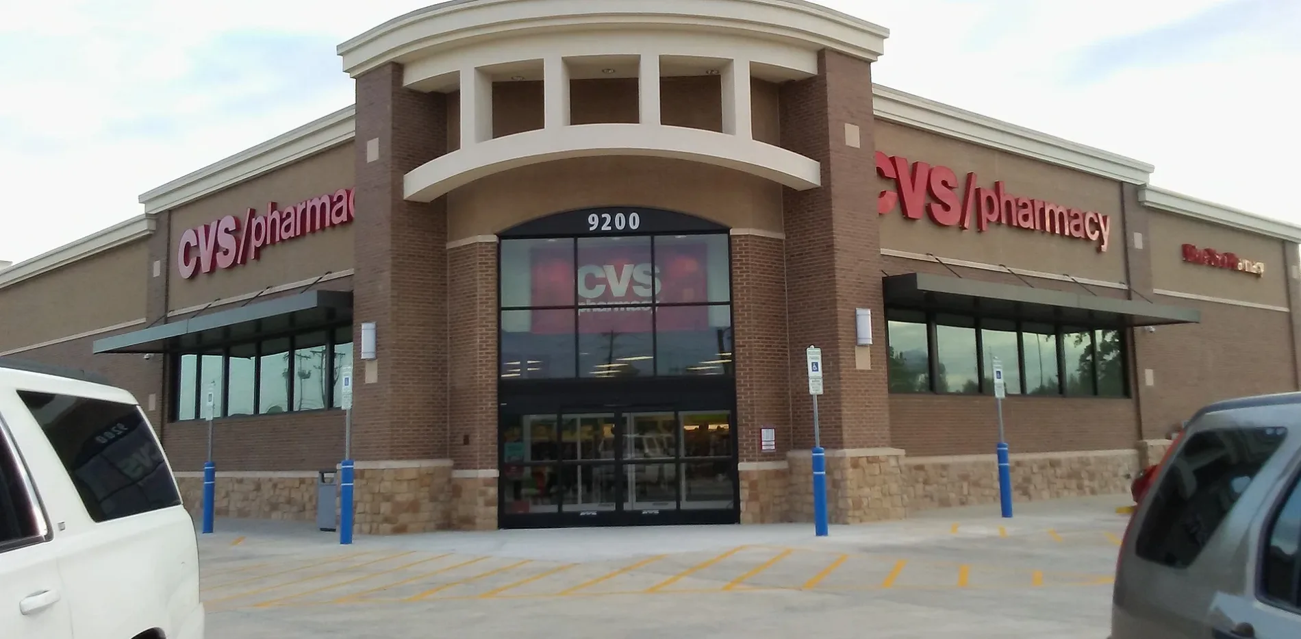
Precinct Line RoadFrost Bank, Red Wing, CVS Pharmacy
0.5 mi
Thornbrook Court0.5 mi
Thornway Drive0.5 mi
Edgemont Court0.5 mi
Edgemont Drive0.5 mi
Biscayne Court0.6 mi
Thornmeadow Court0.6 mi
Belaire Court0.6 mi
Auto repair shops nearby
Valvoline0.1 mi
Banks nearby
Wells Fargo0.2 mi
EECU Credit Union0.3 mi
Clinics nearby
Legacy ER & Urgent Care0.5 mi
Doctor's offices nearby
Northstar Dermatology0.2 mi
Drugstores nearby
Walgreens0.4 mi
Fast food restaurants nearby
Taco Bell0.1 mi
Popeyes0.2 mi
Chick-fil-A0.3 mi
Whataburger0.4 mi
Jack in the Box0.4 mi
Fitness centers nearby
LA Fitness0.4 mi
Gas stations nearby
Kroger0.1 mi
Murphy USA0.2 mi
Massage therapy clinics nearby
Massage0.2 mi
Movie theaters nearby
Alamo Drafthouse Cinema North Richland Hills0.5 mi
Office buildings nearby
Caddo Office Reimagined0.5 mi
Parks nearby
JB Sandlin Park0.5 mi
Residential areas nearby
Thornbridge East0.4 mi
Thornbridge North0.4 mi
Supermarkets nearby
Walmart Supercenter0.3 mi
 Public transit map Colleyville Legend
| Railway | |
| Bus | |
| Streetcar |
 Bicycle map Colleyville Legend
| Bike path | |
| Bike lane on roadway | |
| Cycling allowed on bus lane | |
| Bicycle street | |
| Open to cyclists | |
| Open to cyclists, good path | |
| Cycling prohibited | |
| Cobblestone |
| Long-distance bike route | (depending on scale) | |
| Long-distance bike route |
 Pedestrian map Colleyville Legend
| Path |
| Long-distance hiking trail | (depending on scale) | |
| Long-distance hiking trail | ||
| Pedestrians prohibited |