
Precinct Line Road in North Richland Hills, Texas
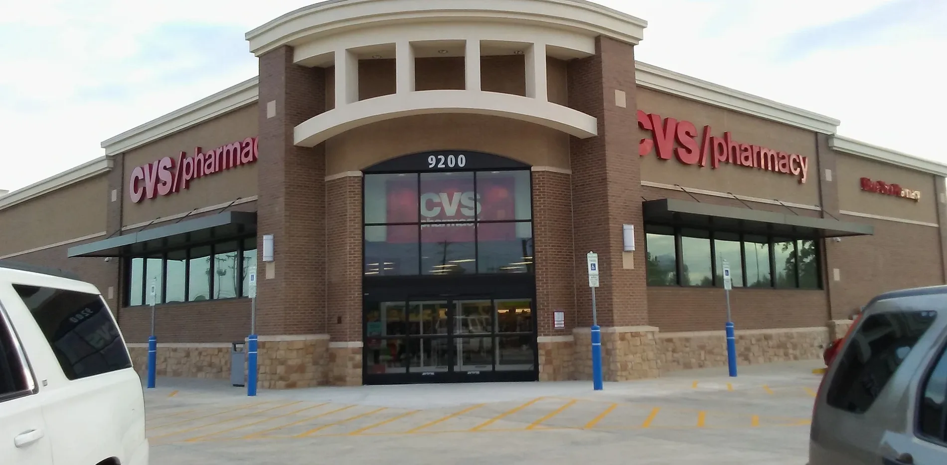
Precinct Line Road in North Richland Hills is a concrete main road (Road number FM 3029). It runs in a north-south direction starting from Davis Boulevard and ends at North Tarrant Parkway. This street is part of the highway "3029". Nearby you can find a bank, a shoe store and a pharmacy. Precinct Line Road also exists in Hurst.
- Road Type
- main road
- Lanes
- 6
- Route
- north-south
Image
Banks
Pharmacies
Streets nearby
Benjamin Way0.2 mi
Avery Lane0.2 mi
Murphy Road0.2 mi
Renoir0.2 mi
Curtis Road0.2 mi
Precinct Line RoadDunkin', Crumbl Cookies, Bazooka Charlie's Barber Co.
0.2 mi
Rhett Drive0.3 mi
Bach0.3 mi
Herbert Street0.3 mi
Davis BoulevardParra Car Care, North Richland Hills Farmers Market, Metroplex Pediatrics, Starbucks, Papa Murphy's, T-Mobile, Veda Nails & Spa, CareNow Urgent Care, Mix N Mac Kitchen, Monarch Dental, Total Men's Primary Care, Sport Clips, Harlan House Of Dance, Mi Pueblo, FedEx Ship Center, Jet's Pizza, Woodbine Furniture, Takara, Leslie's Pool Supplies, Vince Nail Spa
0.3 mi
Brahms0.3 mi
West McDonwell School RoadColleyville Fire Station 3, GoOrganic Eats
0.3 mi
West Cimmaron Trail0.3 mi
Chalet Court0.3 mi
Alpine Lane0.3 mi
Shadybrooke Court0.3 mi
West Talbot Trail0.4 mi
North Tarrant ParkwayWalgreens, Pet Supermarket, Maki & Poke, Kindred Coffee Co, Kabylo's Pizza By The Slice, Golden Crown Cookies & Mochi Donuts, J Tiger Martial Arts, Jersey Mike's Subs, Cellphone Trendz - Repair & Accessories
0.4 mi
Auto parts stores nearby
AutoZone0.3 mi
Auto repair shops nearby
NTB0.2 mi
Brakes Plus0.2 mi
Valvoline0.3 mi
Banks nearby
Wells Fargo0.1 mi
Bank of America0.2 mi
EECU Credit Union0.3 mi
Frost Bank0.3 mi
Butcher shops nearby
Wild Fork0.3 mi
Cafes nearby
Dutch Bros. Coffee0.3 mi
Starwood Cafe0.3 mi
Car washes nearby
Tidal Wave Auto Spa0.3 mi
Cell phone stores nearby
AT&T0.3 mi
Drugstores nearby
Walgreens0.4 mi
Fast food restaurants nearby
Popeyes450 ft
McDonald's0.3 mi
Jack in the Box0.3 mi
Smoothie Factory + Kitchen0.3 mi
Chick-fil-A0.3 mi
Taco Bell0.4 mi
Whataburger0.4 mi
Gas stations nearby
Murphy USA0.2 mi
Kroger0.2 mi
Massage therapy clinics nearby
Massage0.1 mi
Residential areas nearby
Steeple Ridge0.3 mi
Retail areas nearby
Davis Towne Crossing0.2 mi
Social facilities nearby
Watermere at the Preserve Apartments0.3 mi
Supermarkets nearby
Target0.1 mi
Walmart Supercenter0.2 mi
Aldi0.3 mi
Tire dealers nearby
Discount Tire0.3 mi
Veterinary clinics nearby
Cornerstone Animal Hospital0.4 mi
 Public transit map North Richland Hills Legend
| Railway | |
| Bus | |
| Streetcar |
 Bicycle map North Richland Hills Legend
| Bike path | |
| Bike lane on roadway | |
| Cycling allowed on bus lane | |
| Bicycle street | |
| Open to cyclists | |
| Open to cyclists, good path | |
| Cycling prohibited | |
| Cobblestone |
| Long-distance bike route | (depending on scale) | |
| Long-distance bike route |
 Pedestrian map North Richland Hills Legend
| Path |
| Long-distance hiking trail | (depending on scale) | |
| Long-distance hiking trail | ||
| Pedestrians prohibited |