
183A Shared Use Path in Cedar Park, Texas
183A Shared Use Path in Cedar Park is a footpath. It runs in a north-south direction and crosses Scottsdale Drive, Avenue of the Stars, East New Hope Drive, Alamo Plaza Drive, 183A Frontage Road, East Whitestone Boulevard, East Park Street, Brushy Creek Road and Innovation Way. Nearby you can find among others 2 veterinary clinics, 2 restaurants, a candy store and a bed store. 183A Shared Use Path also exists in Austin and Leander.
- Road Type
- path
- Bicycle
- designated
- Route
- north-south
Image
Hair salons
Veterinary clinics
Candy stores
Dentist offices
Streets nearby
Avenue of the Stars0.3 mi
Discovery BoulevardJack Brown Cleaners
0.3 mi
Scottsdale DriveRed Horn Coffee House and Brewing Company, James Avery Artisan Jewelry
0.3 mi
Mojave Bend0.3 mi
East New Hope DriveDutch Bros. Coffee
0.3 mi
County Road 1800.4 mi
183A Toll Road183A Toll Gantry
0.4 mi
Mones Lane0.4 mi
Leisha Lee Lane0.4 mi
Block House Drive0.4 mi
Alamo Plaza DriveMarshalls, Michael's
0.4 mi
NFM Drive0.4 mi
Charlie Harley Drive0.4 mi
Snelling Drive0.4 mi
Legend Oaks Lane0.4 mi
Lost Pines Lane0.4 mi
Oakwood Trail0.4 mi
Zilker Drive0.4 mi
Molson Lake Drive0.4 mi
Big Falls Drive0.5 mi
Brush Lane0.5 mi
Port Hood Drive0.5 mi
Catlin Cove0.5 mi
Snelling Cove0.5 mi
Copper Leaf Lane0.5 mi
Red Heron Drive0.5 mi
Fairlawn Drive0.5 mi
Socorro Bend0.6 mi
Bottle Springs Lane0.6 mi
Kicking Bird Drive0.6 mi
Canby Drive0.6 mi
Turtle River Drive0.6 mi
Wild Orchid Drive0.6 mi
Banks nearby
Velocity0.2 mi
University Federal Credit Union0.2 mi
Cafes nearby
Starbucks0.4 mi
Convenience stores nearby
Circle K0.1 mi
Furniture stores nearby
NFM0.4 mi
Gas stations nearby
Valero0.1 mi
7-Eleven0.2 mi
Hotels nearby
WoodSpring Suites0.2 mi
Hyatt Place0.3 mi
Music venues nearby
Haute Spot0.3 mi
Restaurants nearby
Five Four Restaurant & Drafthouse - Cedar Park0.3 mi
Rivers nearby
Cottonwood Creek0.3 mi
Sporting goods stores nearby
Scheels0.5 mi
Sports centers nearby
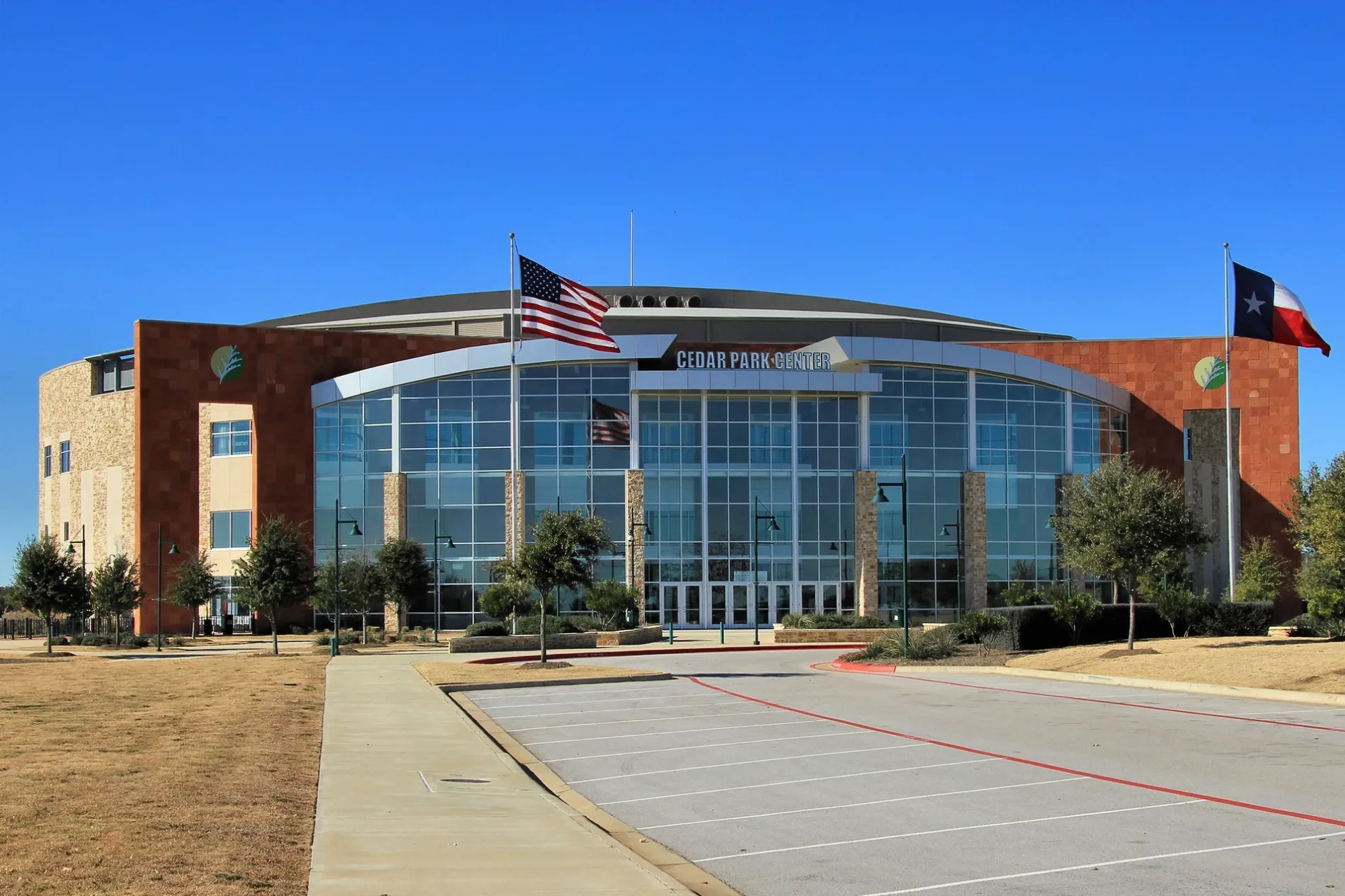
H-E-B Center at Cedar Park0.2 mi
Supermarkets nearby
Whole Foods Market0.3 mi
Veterinary clinics nearby
New Hope Animal Hospital0.2 mi
Public transit map Cedar Park Legend
| Railway | |
| Bus | |
| Streetcar |
Bicycle map Cedar Park Legend
| Bike path | |
| Bike lane on roadway | |
| Cycling allowed on bus lane | |
| Bicycle street | |
| Open to cyclists | |
| Open to cyclists, good path | |
| Cycling prohibited | |
| Cobblestone |
| Long-distance bike route | (depending on scale) | |
| Long-distance bike route |
Pedestrian map Cedar Park Legend
| Path |
| Long-distance hiking trail | (depending on scale) | |
| Long-distance hiking trail | ||
| Pedestrians prohibited |