
Celestial Street in Cedar Park, Texas
Celestial Street in Cedar Park is a two-lane, asphalted residential street. It runs in a southeast-northwest direction and crosses Columbine Avenue and Amaryllis Avenue and ends at Clover Lane, while the other end is a cul-de-sac.
- Road Type
- residential street
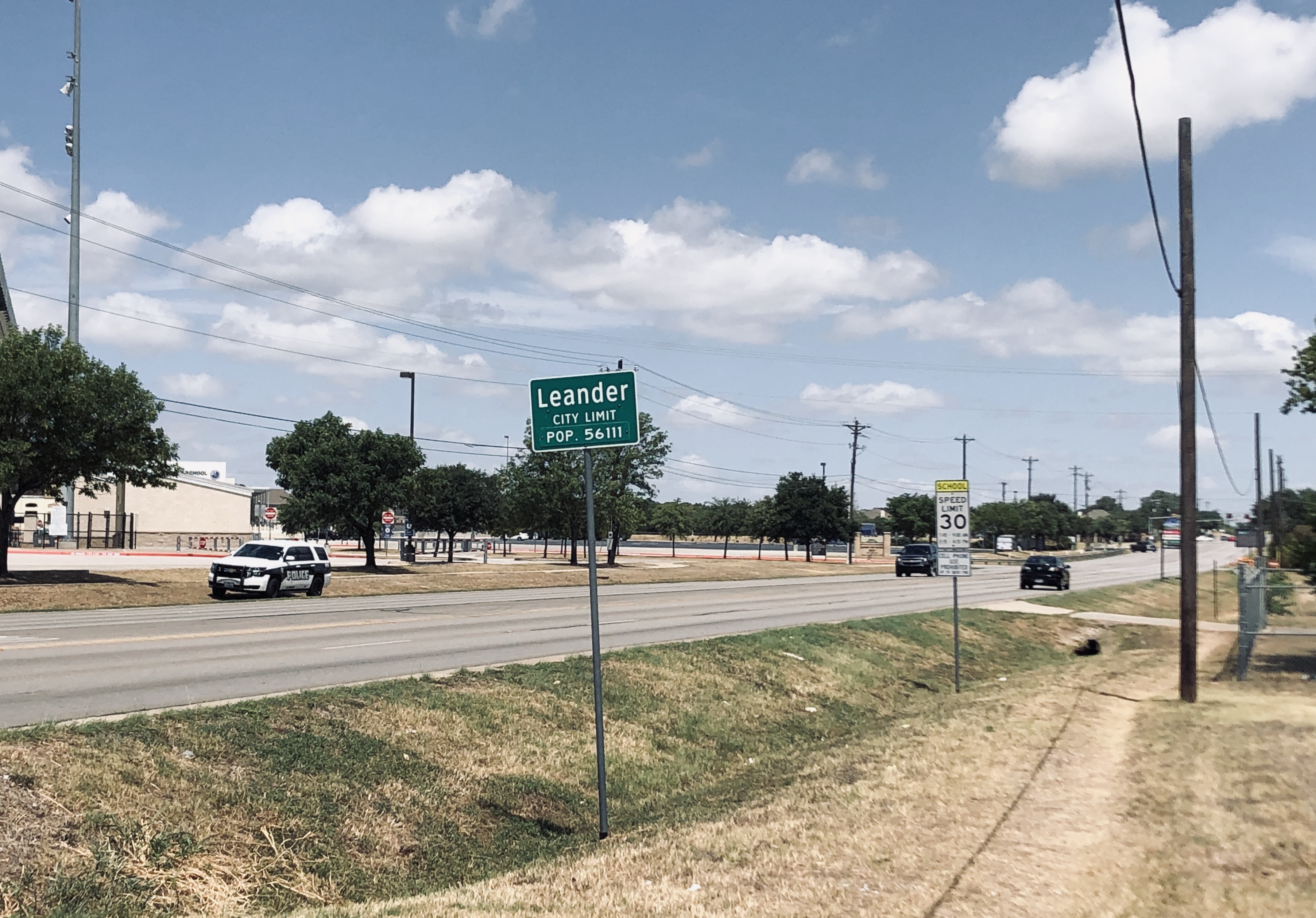
- Speed Limit
- 30 mph
- Lanes
- 2
- Route
- southeast-northwest
Image
Places of worship
Supermarkets
Hair salons
Pharmacies
Restaurants
Schools
Vending machines
Music schools
Car dealerships
Banks
Payment terminals
Public bookcases
Dentist offices
Auto repair shops
Clinics
Car washes
Beauty salons
Garden centers
Bed stores
Streets nearby
Columbine Avenue100 ft
Amaryllis Avenue350 ft
Brazil Drive0.1 mi
Kettering Drive0.2 mi
Ayes Court0.2 mi
Harvest Cove0.2 mi
Brook Hollow0.2 mi
South Bagdad RoadThe Church of Jesus Christ of Latter-day Saints
0.2 mi
Briar Cove0.2 mi
Byfield Drive0.2 mi
Glen Field Drive0.2 mi
Yaupon Cove0.2 mi
Orchard Street0.3 mi
Stapleford Drive0.3 mi
Garrett Cove0.3 mi
Blueline DriveCrystal Falls Animal Hospital
0.3 mi
Adena Lane0.3 mi
Yaupon Trail0.3 mi
Heritage Park Drive0.3 mi
Drue Lane0.3 mi
Peach Tree Lane0.3 mi
Cypress Lane0.3 mi
Sumac Lane0.3 mi
Clover Lane0.3 mi
Willow Lane0.3 mi
West New Hope DriveWalkerton
0.3 mi
Chance Cove0.4 mi
Bagdad Road0.4 mi
Maple Lane0.4 mi
Miko Drive0.4 mi
Red Oak Street0.4 mi
Natalie Cove0.4 mi
Apollo Lane0.4 mi
Pear Lane0.4 mi
Bois Darc Lane0.4 mi
Woodford Drive0.5 mi
Buildings nearby
Crystal Falls Crossing leasing office0.5 mi
Commercial areas nearby
Shops at Leander0.3 mi
Fast food restaurants nearby
Sonic0.3 mi
Bahama Buck's0.3 mi
Parks nearby
Coventry Crossing Park0.3 mi
Peggy Garner Park0.3 mi
Pharmacies nearby
CVS Pharmacy0.3 mi
Places of worship nearby
Rock Chinese Church of Austin0.3 mi
Residential areas nearby
Crystal Falls Crossing0.4 mi
Rivers nearby
Block House Creek0.1 mi
Self storages nearby
Storage Direct Self Storage0.3 mi
Sports fields nearby
A. C. Bible, Jr. - Memorial Stadium0.3 mi
Variety stores nearby
Dollar General0.4 mi
Public transit map Cedar Park Legend
| Railway | |
| Bus | |
| Streetcar |
Bicycle map Cedar Park Legend
| Bike path | |
| Bike lane on roadway | |
| Cycling allowed on bus lane | |
| Bicycle street | |
| Open to cyclists | |
| Open to cyclists, good path | |
| Cycling prohibited | |
| Cobblestone |
| Long-distance bike route | (depending on scale) | |
| Long-distance bike route |
Pedestrian map Cedar Park Legend
| Path |
| Long-distance hiking trail | (depending on scale) | |
| Long-distance hiking trail | ||
| Pedestrians prohibited |