
Drue Lane in Cedar Park, Texas
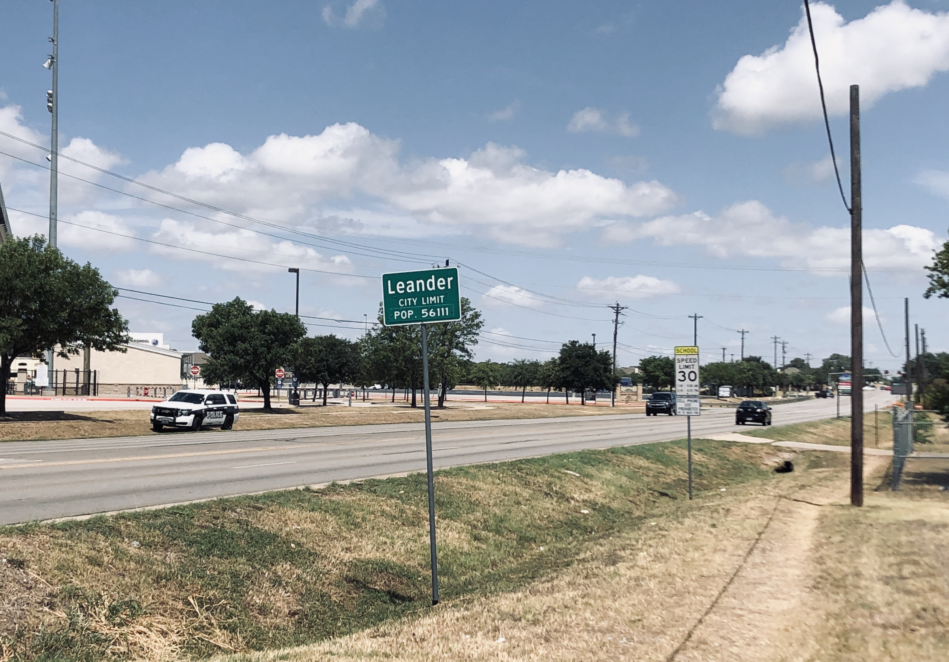
Drue Lane in Cedar Park is a two-lane, asphalted residential street. It runs in a southeast-northwest direction starting from Apollo Lane and crosses Heritage Park Drive. It ends in a cul-de-sac.
- Road Type
- residential street
- Speed Limit
- 30 mph
- Lanes
- 2
- Route
- southeast-northwest
Image
Hair salons
Clinics
Supermarkets
Pharmacies
Payment terminals
Car washes
Public bookcases
Vending machines
Auto repair shops
Banks
Restaurants
Fast food restaurants
Places of worship
Dentist offices
Music schools
Schools
Beauty salons
Car dealerships
Doctor's offices
Streets nearby
Heritage Park Drive50 ft
Garrett Cove250 ft
Chance Cove300 ft
Natalie Cove500 ft
Apollo Lane500 ft
McGregor Lane0.1 mi
South Bagdad RoadThe Church of Jesus Christ of Latter-day Saints
0.2 mi
Keegan's Way0.2 mi
Heritage Hill Cove0.2 mi
Parker Place0.3 mi
Kettering Drive0.3 mi
Ayes Court0.3 mi
Paige Cove0.3 mi
Columbine Avenue0.3 mi
Celestial Street0.3 mi
Romeo Drive0.3 mi
Mathias Street0.3 mi
Inks Cove0.3 mi
West New Hope DriveWalkerton
0.3 mi
Bagdad Road0.4 mi
Tremont Drive0.4 mi
Hilltree Lane0.4 mi
Bakers Way0.4 mi
Founder Drive0.5 mi
Ascot Lane0.5 mi
Woodland Drive0.5 mi
Cedar Oaks Drive0.5 mi
Hollow Ridge Drive0.5 mi
John Tee Drive0.5 mi
Timberview Lane0.5 mi
Cedar Hills BoulevardNew Hope Dentist, Freedom Life Church
0.5 mi
Kane Cove0.5 mi
Gretchen Drive0.6 mi
Gouda Court0.6 mi
North Lakeline BoulevardPride Family Medicine & Aesthetics, Dos Hermanos Cafe & Tex Mex, Donuts Crown, Family Hair Cutters, Lakeline Family Dental, Fresenius Medical Care Cedar Park Dialysis, Earth & Cigar Smoke & Vape, Radha School of Music, Central Texas Rheumatology Associates, Freedom Orthodontics, Reid's Cleaners & Laundry, Take 5 Haircuts
0.6 mi
Amenities nearby
Children's Lighthouse of Cedar Park0.5 mi
Banks nearby
First Texas Bank0.4 mi
Cafes nearby
Starbucks0.3 mi
Community centers nearby
Benish Center0.3 mi
Convenience stores nearby
7-Eleven0.4 mi
Fast food restaurants nearby
Sonic0.3 mi
Gas stations nearby
Exxon0.4 mi
Parks nearby
New Hope Timberwood Park0.3 mi
Pharmacies nearby
CVS Pharmacy0.3 mi
Places of worship nearby
Saint Margaret Mary Catholic Church0.3 mi
Residential areas nearby
Heritage Park0.2 mi
Self storages nearby
Storage Direct Self Storage0.2 mi
Sports fields nearby
A. C. Bible, Jr. - Memorial Stadium0.2 mi
Streams nearby
Block House Creek0.5 mi
Public transit map Cedar Park Legend
| Railway | |
| Bus | |
| Streetcar |
Bicycle map Cedar Park Legend
| Bike path | |
| Bike lane on roadway | |
| Cycling allowed on bus lane | |
| Bicycle street | |
| Open to cyclists | |
| Open to cyclists, good path | |
| Cycling prohibited | |
| Cobblestone |
| Long-distance bike route | (depending on scale) | |
| Long-distance bike route |
Pedestrian map Cedar Park Legend
| Path |
| Long-distance hiking trail | (depending on scale) | |
| Long-distance hiking trail | ||
| Pedestrians prohibited |