
San Gabriel Campus Drive in Leander, Texas
San Gabriel Campus Drive in Leander is a two-lane service road. The street has bike paths (bike lane). It runs in a northeast-southwest direction and ends at Main Street, while the other end is a cul-de-sac. Nearby there is a charging station. The nearest stop is Leander (about 650 m away).
- Bike Lane
- lane
- Road Type
- service road
- Lanes
- 2
- Route
- northeast-southwest
Image
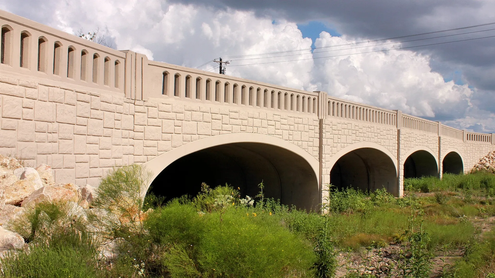
Charging stations
Streets nearby
Main Street0.2 mi
College Way0.2 mi
Leo Lane0.2 mi
Ozark Trail0.3 mi
Weatherly Street0.3 mi
Pullman St0.3 mi
Pullman Street0.3 mi
Oakside Trail0.3 mi
Naumann Drive0.3 mi
John Webster Street0.3 mi
Enchantment Trail0.3 mi
183A Frontage RoadXeal
0.4 mi
William Parker Street0.4 mi
Quemado Drive0.4 mi
Prarie Chapel Drive0.4 mi
County Road 2730.4 mi
Pitchfork Drive0.4 mi
North East Street0.4 mi
183A Toll Road0.4 mi
Michaelis Drive0.5 mi
La Escalera Drive0.5 mi
North US Highway 183Leander, Chipotle, Hero Way Dental Care
0.5 mi
West Hero WayTexan Mart, Smokey Mo's BBQ, Saccone's Pizza, Cappelliera's Barber Salon, Muse Parlour, A-T Spa Healing, Summit Jewelers, Leander Nutrition, Guns, Grand Donut, Inspire Ink, Humble Pint Brewing Co., Chase, Bagdad
0.5 mi
East Evans Street0.5 mi
Hero Way0.5 mi
East Broade Street0.5 mi
Railroad Street0.5 mi
Ranch Road 22430.6 mi
North Gabriel Street0.6 mi
East Willis Street0.6 mi
Windward View0.6 mi
South East Street0.6 mi
East South Street0.7 mi
Buildings nearby
State Farm0.6 mi
Car washes nearby
H-E-B Car Wash0.5 mi
Construction sites nearby
Northline0.2 mi
Convenience stores nearby
Jiffy Mart #10.6 mi
Dams nearby
Soil Conservation Service Site 2 Dam0.6 mi
Doctor's offices nearby
Austin Gastroenterology0.3 mi
Gas stations nearby
H-E-B Fuel0.5 mi
Blaze Fuels0.6 mi
Residential areas nearby
The Standard at Leander Station0.3 mi
Trailside Oaks0.3 mi
Alta Leander Station0.4 mi
Restaurants nearby
Mouton's Southern Bistro0.6 mi
Retail areas nearby
The Forum0.5 mi
Rivers nearby
North Fork Brushy Creek0.3 mi
South Fork Brushy Creek0.4 mi
Other nearby
Leander Substation0.4 mi
 Public transit map Leander Legend
| Railway | |
| Bus | |
| Streetcar |
 Bicycle map Leander Legend
| Bike path | |
| Bike lane on roadway | |
| Cycling allowed on bus lane | |
| Bicycle street | |
| Open to cyclists | |
| Open to cyclists, good path | |
| Cycling prohibited | |
| Cobblestone |
| Long-distance bike route | (depending on scale) | |
| Long-distance bike route |
 Pedestrian map Leander Legend
| Path |
| Long-distance hiking trail | (depending on scale) | |
| Long-distance hiking trail | ||
| Pedestrians prohibited |