
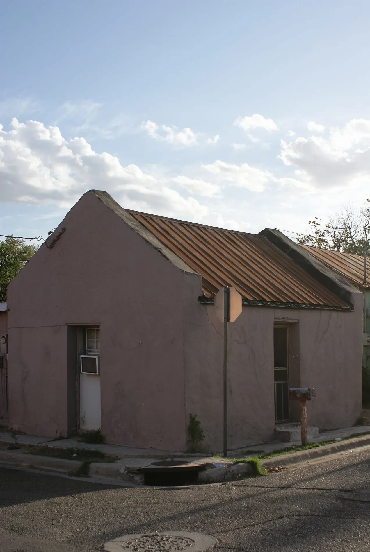
Chihuahua Street in Laredo, Texas
Chihuahua Street in Laredo is a two-lane main road. It runs in an east-west direction starting from Matamoros Street and crosses Monterrey Avenue, Cedar Avenue, Logan Avenue, Tilden Avenue, Hendricks Avenue, McClelland Avenue, McPherson Avenue, North Stone Avenue, North Loring Avenue, North Seymour Avenue and North Meadow Avenue. This street is part of the highways STRAHNET route: Brownsville - Del Rio and 83. Nearby there is a fast food restaurant. Chihuahua Street also exists in Caldwell County, Bexar County, El Paso County, Val Verde County and Dallas County.
- Road Type
- main road
- Lanes
- 2
- Speed Limit
- 40 mph
- Route
- east-west
Image
Fast food restaurants
Streets nearby
Matamoros StreetMemorial to Fallen First Responders, Laredo Downtown Pharmacy, Rialto Cafe
250 ft
Houston StreetLa Ruta Del Sol Travel, George Washington, Our Story is Our Power
450 ft
Laredo StreetFamily Dollar, 956 Mural
0.1 mi
Farragut StreetEZPAWN, ABBA Imports, Burger King, Oxxo, Fifth Avenue Lady, Dollar Tree
0.1 mi
Victoria StreetLaredo
0.1 mi
Hidalgo StreetLaredo Film Society, Los Angeles, PNC Bank, Don Tomás Sánchez, Lonches La Abuela, Border Beauty Shop, Euphoria Fashion Boutique, WD Home Basics, Zorba, MoneyGram
0.1 mi
San Leonardo Avenue0.2 mi
San Jorge AvenueAurelio The Shoe Doctor
0.2 mi
Iturbide StreetHouse of Whiskey, New Yorker's Apperal, Caesars Social Club, Luna Discotek, Vivo Bar & Lounge, Túnel Disco Bar, Casa Grace, 7 Heavens Fragrance Inc., Cricket Wireless, Metro by T-Mobile, Cindy's Electronics, MSK Trading Inc., Cinderella, Nagual, Everything Must GO, Merose, Casa Guero 2
0.2 mi
Market StreetTortilleria Lolita
0.2 mi
Washington StreetPresbyterian Church Sinai
0.2 mi
San Enrique AvenueAdris Ropa Usada Inc., El Azteca
0.2 mi
Lincoln StreetSamsons
0.2 mi
Sanders AvenueSanchez Elementary School
0.2 mi
Corpus Christi StreetLiving Color, Youngs School, J&R Medical
0.2 mi
San Francisco Avenue0.2 mi
Springfield AvenueGonzalez Saldos, Bodega Sierra #2
0.3 mi
Monterrey AvenuePancho's Shoe Shine
0.3 mi
Cortez Street0.3 mi
Zacate Creek TrailLiving Color, Plight of the Monarch, Protect Our River
0.3 mi
Garfield Street0.3 mi
Grant StreetEl Meson de San Agustin Mural, Casa Raul Downtown
0.3 mi
San Pablo AvenueColores de Mi Barrio
0.3 mi
Zaragoza StreetZaragoza Grill, General Ignacio Zaragoza, Casa De Cambio, Puma Outlet, Steve Madden, Vera Bradley Outlet, Five Below, Nike Clearance Store, Crocs, Nautica, Auntie Anne's, Cinnabon, Angel of hope, Alfa Western Wear, Cricket Wireless, Uniform Destination, Laredo, Rack Room Shoes, Skechers, Express, Hugo Boss, Platinum Times Company, Citi Trends, Journeys, Old Navy Outlet, The Children's Place Outlet, Lo mejor de la vida es shopping
0.3 mi
Guadalupe Street0.3 mi
Guatemozin Street0.3 mi
Rosario Street0.3 mi
Maryland Avenue0.3 mi
Marcella AvenueLas Crueces, La India Packing Co Inc., EZPAWN, E-Z Lock, American Legion Post 850
0.3 mi
Auto repair shops nearby
Casanova Automotive Inc.0.2 mi
Bakeries nearby
Polo's Bakery0.3 mi
Bars nearby
Iturbide Pool House0.2 mi
Clothing stores nearby
Tex Mex Ropa Usada0.3 mi
Fire stations nearby
Fire Station #1300 ft
General stores nearby
Tortilleria La Fe0.3 mi
Hardware stores nearby
South Central Hardware Inc.0.2 mi
Ice cream shops nearby
Ice Cream Man Place Inc.0.4 mi
Nightclubs nearby
Latino Night Club0.2 mi
Parks nearby
Houston Park550 ft
El Azteca Park0.2 mi
Railways nearby
CPKC Laredo Subdivision0.3 mi
Restaurants nearby
Obregon's Mexican Restaurant #20.3 mi
Glass Kitchen0.3 mi
Cantu's Tacos0.3 mi
Schools nearby
J. C. Martin Jr. Elementary School0.2 mi
Streams nearby
Zacate Creek0.2 mi
Thrift stores nearby
The Salvation Army0.2 mi
Wholesale stores nearby
Descuento Dos Laredos Mercancia en Variedad Mayoreo y Menudeo0.2 mi
Other nearby
Washington Street Substation0.3 mi
 Public transit map Laredo Legend
| Railway | |
| Bus | |
| Streetcar |
 Bicycle map Laredo Legend
| Bike path | |
| Bike lane on roadway | |
| Cycling allowed on bus lane | |
| Bicycle street | |
| Open to cyclists | |
| Open to cyclists, good path | |
| Cycling prohibited | |
| Cobblestone |
| Long-distance bike route | (depending on scale) | |
| Long-distance bike route |
 Pedestrian map Laredo Legend
| Path |
| Long-distance hiking trail | (depending on scale) | |
| Long-distance hiking trail | ||
| Pedestrians prohibited |