
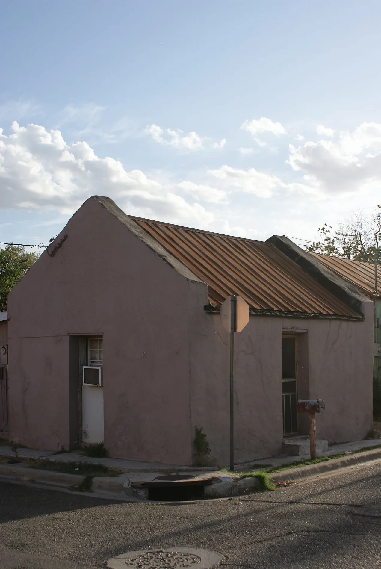
Lincoln Street in Laredo, Texas
Lincoln Street in Laredo is a two-lane unclassified road. It runs in an east-west direction and crosses San Eduardo Avenue, San Francisco Avenue, San Jorge Avenue, San Enrique Avenue and San Leonardo Avenue and ends at San Pablo Avenue, while the other end is a cul-de-sac. Nearby there is a shoe store. The nearest bus stop is El Expreso Bus Company (about 650 m away). Lincoln Street also exists in Travis County, Guadalupe County, Harris County, Liberty County and Galveston County.
- Road Type
- residential street
- Lanes
- 2
- Route
- east-west
Image
Shoe stores
Streets nearby
Hidalgo StreetLaredo Film Society, Los Angeles, PNC Bank, Don Tomás Sánchez, Lonches La Abuela, Border Beauty Shop, Euphoria Fashion Boutique, WD Home Basics, Zorba, MoneyGram
400 ft
Iturbide StreetHouse of Whiskey, New Yorker's Apperal, Caesars Social Club, Luna Discotek, Vivo Bar & Lounge, Túnel Disco Bar, Casa Grace, 7 Heavens Fragrance Inc., Cricket Wireless, Metro by T-Mobile, Cindy's Electronics, MSK Trading Inc., Cinderella, Nagual, Everything Must GO, Merose, Casa Guero 2
0.1 mi
San Francisco Avenue0.1 mi
AVI LaneLaredo
0.2 mi
Duty Free Lane0.2 mi
Bus Lane0.2 mi
Santa Ursula AvenueCricket Wireless, The Living Mural
0.2 mi
San Dario AvenueRodeo Dental & Orthodontics, Wingstop, Chick-fil-A, La Unica
0.3 mi
Houston StreetLa Ruta Del Sol Travel, George Washington, Our Story is Our Power
0.3 mi
San Bernardo AvenueTornado Bus Company, El Expreso Bus Company, Lighthouse Assembly of God Church, Battery Service, Clementine's Kitchen, Texas Roadhouse, Subway, My EyeLab, Valley Day & Night Clinic
0.3 mi
Farragut StreetEZPAWN, ABBA Imports, Burger King, Oxxo, Fifth Avenue Lady, Dollar Tree
0.3 mi
Tornado Bus Company0.3 mi
San Agustin AvenueALA Burger - Burgers and Alitas
0.4 mi
San Eduardo AvenueSelena Nunca Te Olvidare, H-E-B, H-E-B Pharmacy, Virgen de Guadalupe, Sal Si Peudes
0.4 mi
Purple Heart Trail0.4 mi
Matamoros StreetMemorial to Fallen First Responders, Laredo Downtown Pharmacy, Rialto Cafe
0.4 mi
Auto repair shops nearby
Casanova Automotive Inc.0.2 mi
Banks nearby
Falcon Bank0.3 mi
IBC Bank0.4 mi
Bars nearby
Iturbide Pool House150 ft
Jardin X Contreras0.3 mi
Buildings nearby
Laredo Trade Tag Customer Service Center0.3 mi
Benavides-Herrera House0.3 mi
Juan Francisco Farías Residence0.3 mi
J.E.R Building0.3 mi
Ramón House0.3 mi
City of Laredo Traffic Department0.4 mi
José Angel Ortiz Building0.4 mi
Convenience stores nearby
Last Chance Food Mart0.3 mi
Texaco0.4 mi
Stripes0.4 mi
Covered areas nearby
U.S. Customs & Border Protection - Juarez-Lincoln Port of Entry0.2 mi
Currency exchanges nearby
Casa De Cambio0.3 mi
Fast food restaurants nearby
Taqueria0.1 mi
Gas stations nearby
Valero0.2 mi
Chevron0.3 mi
Lovely Market0.3 mi
Parking lots nearby
PNC Parking Garage0.3 mi
Parks nearby
Plaza Azteca0.2 mi
Plaza De La Noria0.3 mi
Plaza Cuatro Caminos0.3 mi
Plaza Uno0.3 mi
Plaza Del Abrazo0.3 mi
Police stations nearby
Laredo Police Downtown Substation0.4 mi
Webb County Sheriffs Office0.4 mi
Restaurants nearby
El Meson on Wheels0.3 mi
China Border0.3 mi
Stations nearby
Aguila Express0.4 mi
Thrift stores nearby
The Salvation Army0.2 mi
 Public transit map Laredo Legend
| Railway | |
| Bus | |
| Streetcar |
 Bicycle map Laredo Legend
| Bike path | |
| Bike lane on roadway | |
| Cycling allowed on bus lane | |
| Bicycle street | |
| Open to cyclists | |
| Open to cyclists, good path | |
| Cycling prohibited | |
| Cobblestone |
| Long-distance bike route | (depending on scale) | |
| Long-distance bike route |
 Pedestrian map Laredo Legend
| Path |
| Long-distance hiking trail | (depending on scale) | |
| Long-distance hiking trail | ||
| Pedestrians prohibited |