
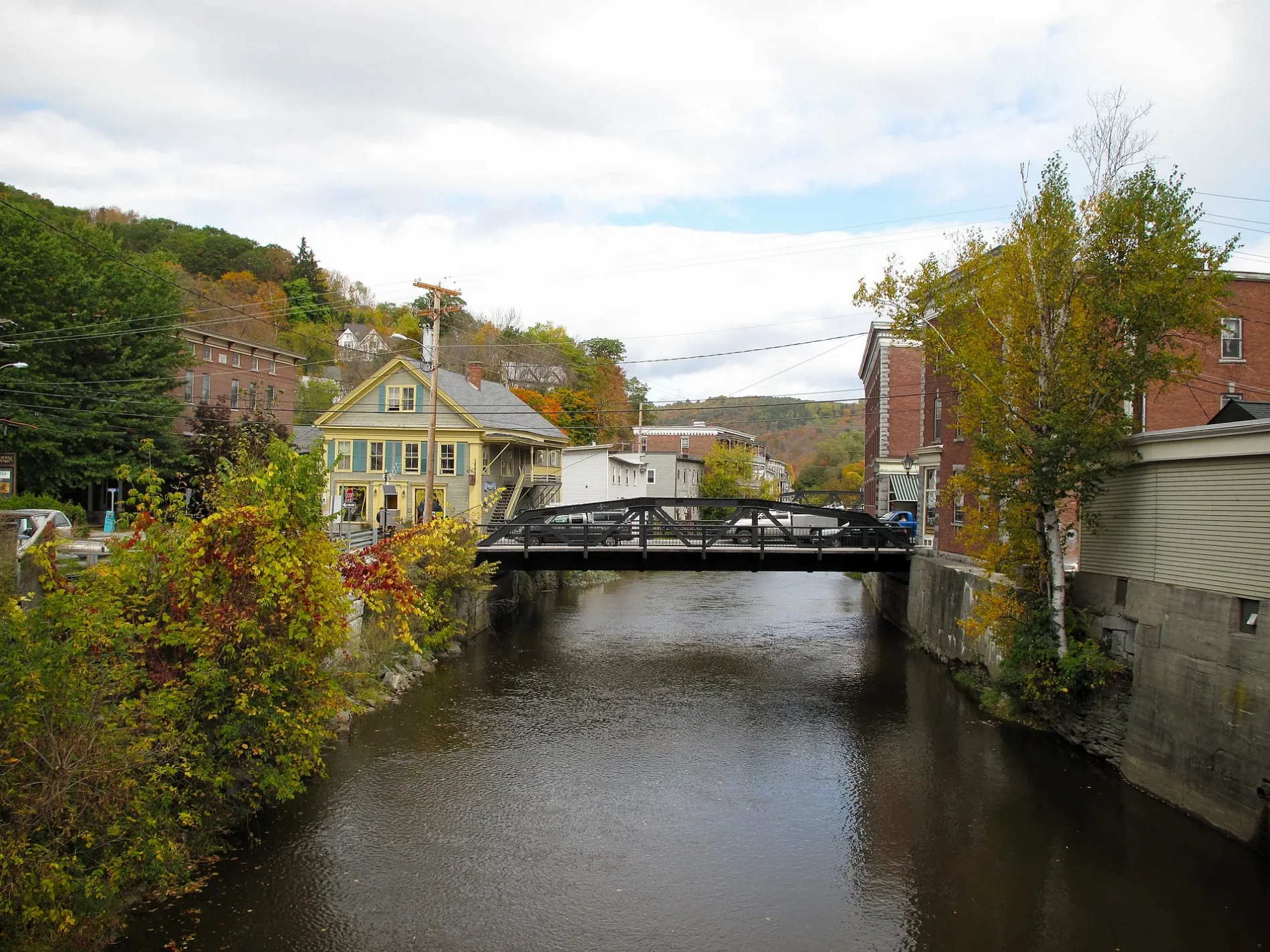
Winooski River in Berlin, Vermont
Winooski River in Berlin is a river. Winooski River is also known as River Ouijstic. Winooski River also exists in Montpelier, Cabot, Marshfield, Middlesex and Moretown. Ⓦ.
- Waterway Type
- river
Image
Cafes
Pet stores
Medical supply stores
Social facilities
Doctor's offices
Platforms
Fire stations
Dentist offices
Variety stores
Restaurants
Hair salons
Car dealerships
Hotels
Charging stations
Cemeteries
Schools
Shopping malls
Auto parts stores
Fast food restaurants
Hearing aid centers
Hospitals
Car rentals
Dairy stores
Streets nearby
U.S. Route 2350 ft
Kubota Drive400 ft
Gun Club Road0.1 mi
Cross Vermont Trail0.4 mi
Averill Road0.5 mi
Power Plant Road0.6 mi
Lepage Road0.6 mi
EM Trail U32 to Schoolhouse Road0.6 mi
Karl Circle0.6 mi
Gallison Hill Road0.7 mi
Vine Street0.8 mi
Marvin Road0.8 mi
Maplewood Road0.9 mi
Goldsbury Woods Drive0.9 mi
Wheeler Road0.9 mi
Mount Street1.0 mi
Shadow Lane1.0 mi
School Road1.0 mi
Schoolhouse Road1.0 mi
Muddy Brook Road1.0 mi
Goodnow Road1.0 mi
East Montpelier RoadChamplain Oil Co
1.1 mi
Beckley Hill Road1.1 mi
Mekleson Road1.1 mi
Towne Hill Road1.1 mi
Al Monty Drive1.1 mi
Richardson Road1.2 mi
Country Club Road1.2 mi
Lemay Drive1.2 mi
Chris Path Way1.2 mi
Knob Ridge Road1.2 mi
Spring Hollow Lane1.3 mi
Alnita Lane1.3 mi
Berlin Heights1.3 mi
Areas nearby
LePage family farm0.6 mi
Shops nearby
Butterfly Bakery of Vermont1.0 mi
Auto parts stores nearby
Capitol City Kia Parts & Service1.0 mi
Auto repair shops nearby
Capitol City Kia Auto Body1.0 mi
Car dealerships nearby
Capitol City Kia1.0 mi
Commercial buildings nearby
Bruce Transportation Group0.9 mi
Blodgett Supply1.1 mi
John W. Kennedy Co. Petroleum Co.1.1 mi
Jiffy Mart1.1 mi
Community centers nearby
Aurora Lodge/Masonic Center0.8 mi
Dams nearby
Montpelier Number Four Dam300 ft
Gas stations nearby
Mobil1.2 mi
Ice rinks nearby
Central Vermont Memorial Civic Center0.8 mi
Residential areas nearby
Eastwood Manor Drive0.7 mi
Sporting goods stores nearby
Black Diamond Sportswear0.7 mi
| Length | 144 |
|---|---|
| Located in | Vermont |
| Country | United States |
| Mouth | Richelieu River, Lake Champlain |
 Public transit map Berlin Legend
| Railway | |
| Bus | |
| Streetcar |
 Bicycle map Berlin Legend
| Bike path | |
| Bike lane on roadway | |
| Cycling allowed on bus lane | |
| Bicycle street | |
| Open to cyclists | |
| Open to cyclists, good path | |
| Cycling prohibited | |
| Cobblestone |
| Long-distance bike route | (depending on scale) | |
| Long-distance bike route |
 Pedestrian map Berlin Legend
| Path |
| Long-distance hiking trail | (depending on scale) | |
| Long-distance hiking trail | ||
| Pedestrians prohibited |