
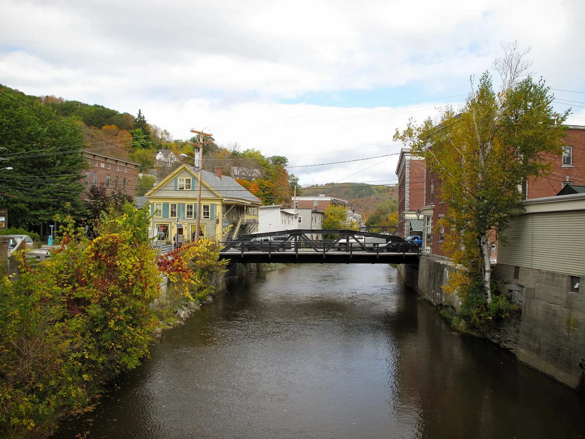
Winooski River in Cabot, Vermont
Winooski River in Cabot is a river. Winooski River is also known as River Ouijstic. Winooski River also exists in Montpelier, Marshfield, Middlesex, Moretown and Berlin. Ⓦ.
- Waterway Type
- river
Image
Auto repair shops
Attractions
Parking lots
Bars
Supermarkets
Streets nearby
Ducharme Hill Road0.5 mi
John Copper Road0.6 mi
Saw Mill Road0.6 mi
Stone Farm Road0.7 mi
Wheeler Road0.9 mi
Dingman Road1.0 mi
McKinstry Road1.0 mi
Route 215 SouthLower Cabot
1.2 mi
Whittier Hill Road1.3 mi
Ducharme Road1.4 mi
Smith Road1.4 mi
Tebbitts Road1.5 mi
Power Plant Road1.5 mi
West Hill Pond Road1.5 mi
Porter Road1.6 mi
McCrillis Road1.6 mi
Vermont Route 2321.6 mi
Blodgett Road1.6 mi
Bothfeld Hill Road1.6 mi
Cabot Road1.7 mi
Elm Street1.7 mi
Thistle Hill Road1.7 mi
Main StreetCabot Public Library, Harry's Hardware, Cabot Village Store, Cabot Town Clerk, The Den, Cabot Garage
1.7 mi
Glinka Road1.7 mi
Old Center Road1.7 mi
Huntington Road1.8 mi
Danville Hill RoadCabot
1.8 mi
Brook Road1.8 mi
Common Road1.9 mi
U.S. Route 2Marshfield Fire Department, King School, Washington Northeast Supervisory Union, Marshfield, Federated Church, Marshfield Post Office, Red Door Bakery, Marshfield United Church, Marshfield Village Store, Shell
1.9 mi
Gym Road1.9 mi
Jay's Lane2.0 mi
Jurkiewicz Place2.0 mi
Apartment buildings nearby
Cabot Commons1.7 mi
Buildings nearby
Cabot Creamery1.6 mi
Cabot Historical Society1.9 mi
Green Mountain Lodge #682.0 mi
Cemeteries nearby
Durant Cemetery450 ft
Cabot Village Cemetery1.4 mi
West Hill Cemetery1.8 mi
Parks nearby
Cabot Common1.8 mi
Places of worship nearby
United Church of Cabot1.9 mi
Post offices nearby
Cabot Post Office1.8 mi
Public buildings nearby
Cabot Volunteer Fire Department1.6 mi
Willey Building1.8 mi
School buildings nearby
Cabot School1.9 mi
Cabot School Performing Arts Center (CSPAC)1.9 mi
Streams nearby
Jug Brook0.9 mi
Other nearby
Marshfield-6 Substation1.5 mi
| Length | 144 |
|---|---|
| Located in | Vermont |
| Country | United States |
| Mouth | Richelieu River, Lake Champlain |
 Public transit map Cabot Legend
| Railway | |
| Bus | |
| Streetcar |
 Bicycle map Cabot Legend
| Bike path | |
| Bike lane on roadway | |
| Cycling allowed on bus lane | |
| Bicycle street | |
| Open to cyclists | |
| Open to cyclists, good path | |
| Cycling prohibited | |
| Cobblestone |
| Long-distance bike route | (depending on scale) | |
| Long-distance bike route |
 Pedestrian map Cabot Legend
| Path |
| Long-distance hiking trail | (depending on scale) | |
| Long-distance hiking trail | ||
| Pedestrians prohibited |