
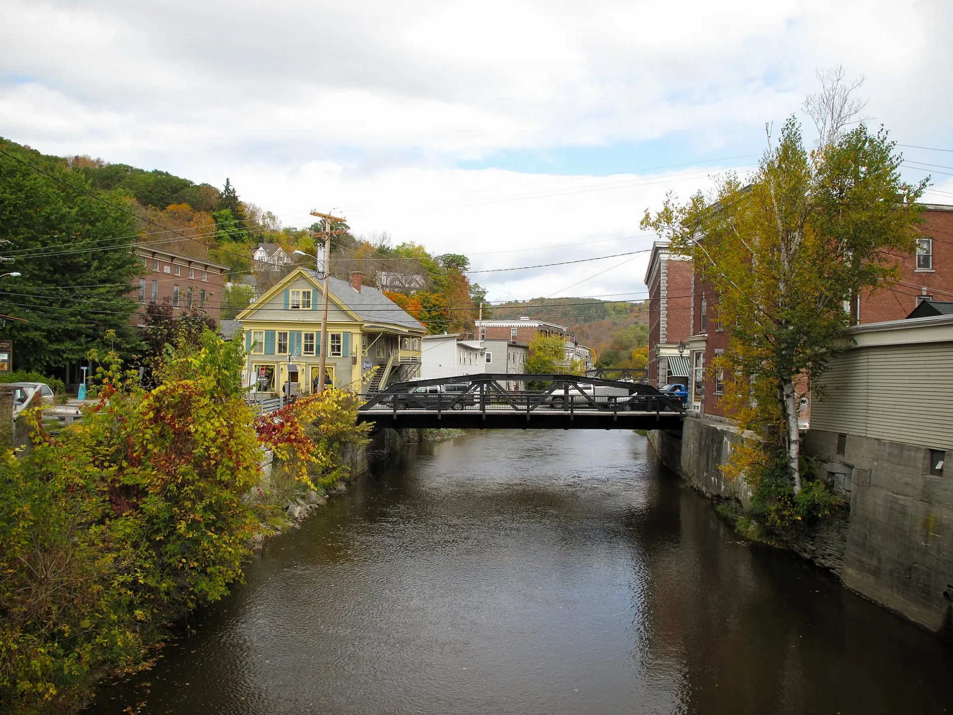
Winooski River in Plainfield, Vermont
Winooski River in Plainfield is a river. Winooski River is also known as River Ouijstic. Winooski River also exists in Montpelier, Cabot, Marshfield, Middlesex and Moretown. Ⓦ.
- Waterway Type
- river
Image
Fire stations
Schools
Streets nearby
Martin Meadow Road550 ft
Lower Martin Meadow Road0.1 mi
Walker Lane0.1 mi
Recreation Field Road0.2 mi
Towne Avenue0.2 mi
High StreetPlainfield Post Office
0.2 mi
Robert Lane0.2 mi
Pitkin RoadGoddard College
0.4 mi
Mill StreetGrace United Methodist Church
0.4 mi
Greenbrier Road0.4 mi
Harvey Hill RoadPlainfield Village Historic District
0.4 mi
Main StreetPlainfield Volunteer Fire Department, Positive Pie
0.4 mi
Dormitory Road0.4 mi
Sugarwood Road0.4 mi
Hudson Avenue0.4 mi
Barre Hill0.5 mi
School StreetPlainfield, Kingsbury Branch Community School
0.5 mi
Loop Road0.5 mi
Creamery Street0.5 mi
Greatwood Drive0.6 mi
Hillside Drive0.6 mi
Vermont Route 2140.7 mi
Austin Road0.7 mi
Bunker Hill Circle0.8 mi
U.S. Route 2King School, Washington Northeast Supervisory Union, Marshfield Fire Department, Marshfield, Federated Church, Marshfield Post Office, Red Door Bakery, Marshfield United Church, Marshfield Village Store, Shell
0.8 mi
East Hill RoadMaplehill School & Farm
0.8 mi
Coburn Road0.8 mi
Country Club Road0.8 mi
Northwood Drive0.9 mi
Cameron Road0.9 mi
Eliott Pratt Road1.0 mi
Railroad Bed West1.0 mi
Center School RoadCenter School
1.1 mi
Tay-Con Drive1.1 mi
Cate Farm Road1.1 mi
John Fowler Road1.1 mi
Hollister Hill Road1.2 mi
Taylor Farm Road1.3 mi
New Hamburger Road1.4 mi
Cerutti Road1.5 mi
Brook Road1.5 mi
Lindemann Lane1.5 mi
Cemeteries nearby
Village Cemetery0.7 mi
Plainmont Cemetery1.0 mi
Convenience stores nearby
Maplefields0.6 mi
Gas stations nearby
Black Bear Biodiesel0.2 mi
Irving0.7 mi
Libraries nearby
Cutler Memorial Library0.2 mi
Other nearby
Plainfield-48 Substation1.1 mi
| Length | 144 |
|---|---|
| Located in | Vermont |
| Country | United States |
| Mouth | Richelieu River, Lake Champlain |
 Public transit map Plainfield Legend
| Railway | |
| Bus | |
| Streetcar |
 Bicycle map Plainfield Legend
| Bike path | |
| Bike lane on roadway | |
| Cycling allowed on bus lane | |
| Bicycle street | |
| Open to cyclists | |
| Open to cyclists, good path | |
| Cycling prohibited | |
| Cobblestone |
| Long-distance bike route | (depending on scale) | |
| Long-distance bike route |
 Pedestrian map Plainfield Legend
| Path |
| Long-distance hiking trail | (depending on scale) | |
| Long-distance hiking trail | ||
| Pedestrians prohibited |