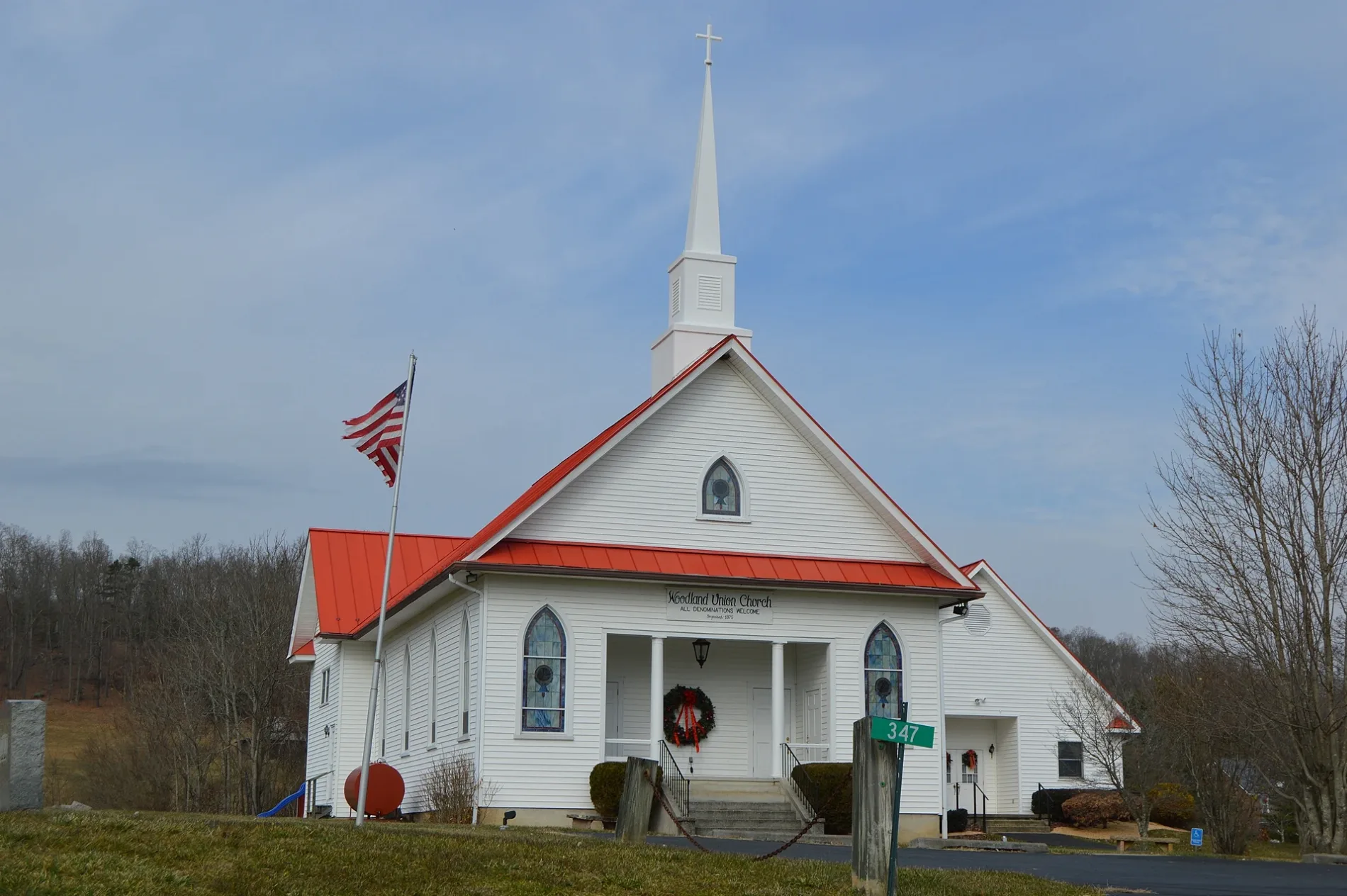
Front and western side of the Woodland Union Church, located on Deerfield Road at McClung in Bath County, Virginia, United States. – Nyttend, public domain – Wikimedia Commons McClung Road in Bath County is local road (also known as Warm Springs & Harrisonburg Turnpike). This street is part of the Highway "629" as well as the Bicycle routes RockStar Gravel, RockStar Pave and RockStar Trail. McClung Road is also known as Warm Springs &. McClung Road also exists in
Highland County .
gas stations in Bath County ⛽ The Home Oil Co is gas station at Mountain Valley Road 25739 (24460) – approx. 2000 m
🗺 .
⛽ Citgo is gas station (Citgo) – approx. 8800 m
🗺 .
fire stations in Bath County 🚒 Company 2 Glasgow Fire Department is fire station – approx. 5500 m
🗺 .
🚒 Company 3 Glasgow Rescue Squad is fire station – approx. 5900 m
🗺 .
places of worship in Bath County ⛪ Shiloh United Methodist Church is church (methodist) – approx. 5700 m
🗺 .
⛪ Windy Cove Presbyterian Church is church – approx. 7700 m
🗺 .
⛪ Mount Zion Baptist Church is church (baptist) – approx. 10700 m
🗺 .
⛪ Oak Grove Church is church – approx. 11400 m
🗺 .
⛪ Horeb Baptist Church is church (baptist) – approx. 11900 m
🗺 .
⛪ Saint Luke's Episcopal Church is church – approx. 13400 m
🗺 .
restaurants in Bath County 🍽️ Warm Springs Tavern is restaurant (The Inn at Warm Springs) (opening hours: Wed–Sun 11–14, 17–21) – approx. 7400 m
🗺 .
🍽️ Sam Snead Tavern is restaurant at State Route 615 2849 (24445)
🌐 – approx. 13200 m
🗺 .
🍽️ Les Cochons d'Or is restaurant at Main Street 2831 (24445) – approx. 13300 m
🗺 .
🍽️ Lindsay's Roost is restaurant (Regional cuisine, opening hours: Mon–Sat 8–21; Sun 9–15) at Sunset Hill 15 (24445) – approx. 13300 m
🗺 .
cafes in Bath County ☕ Warm Springs Coffee Shop is cafe – approx. 7400 m
🗺 .
police stations in Bath County 🚔 Bath County Sherrif's Office is police station – approx. 8200 m
🗺 .
parking lots in Bath County 🅿️ Park and Ride is parking lot – approx. 8800 m
🗺 .
campgrounds in Bath County ⛺ Camp Alkulana is campground – approx. 9300 m
🗺 .
drinking water fountains in Bath County 💧 Fort Lewis Lodge & Farm is drinking water fountain at Millstone Lane 811 (24460)
🌐 – approx. 10300 m
🗺 .
liquor stores in Bath County 📍 Virginia ABC is liquor store – approx. 13300 m
🗺 .
pharmacies in Bath County 💊 Hot Springs Pharmacy is pharmacy (opening hours: Mon–Fri 9–18; Sat 9–14) – approx. 13300 m
🗺 .
clothing stores in Bath County 👗 Laura's Boutique - Laura's Loft is clothing store (opening hours: Mon–Sat 10–17:30) at Sam Snead Highway 7779 (24445) – approx. 13300 m
🗺 .
fast food restaurants in Bath County 🍔 Subway is fast food restaurant (Sandwich, takeaway) – approx. 13300 m
🗺 .
marketplaces in Bath County 🛍️ Bath County Farmers Market is marketplace (opening hours: Sun 9–13) at Main Street (24445) – approx. 13300 m
🗺 .
hair salons in Bath County ✂️ Genia's Hairstyling is hair salon – approx. 13400 m
🗺 .

 Standard map
 Public transit map Bath County Legend
  Bicycle map Bath County Legend
  Pedestrian map Bath County Legend