
Staunton & Warm Springs Turnpike in Millboro, VA 24460
Staunton & Warm Springs Turnpike in Millboro, VA 24460 (Bath County) is a two-lane, asphalted main road (also known as Mountain Valley Road). It runs in an east-west direction starting from Mountain Valley Road and crosses Millboro & Kerrs Creek Turnpike, Pig Run Road, Little Gibraltar Road, Old Staunton & Warm Springs Turnpike, Ridge Road, T C Walker Road, Campbell Hollow Road and Mill Creek Road. Staunton & Warm Springs Turnpike is also known as Mountain Valley Road. This street is part of the highways 42 and 39. Nearby there is among others a gas station.
- Alternate Name
- Mountain Valley Road
- Road Type
- main road
- Lanes
- 2
- Speed Limit
- 45 mph
- Route
- east-west
Image
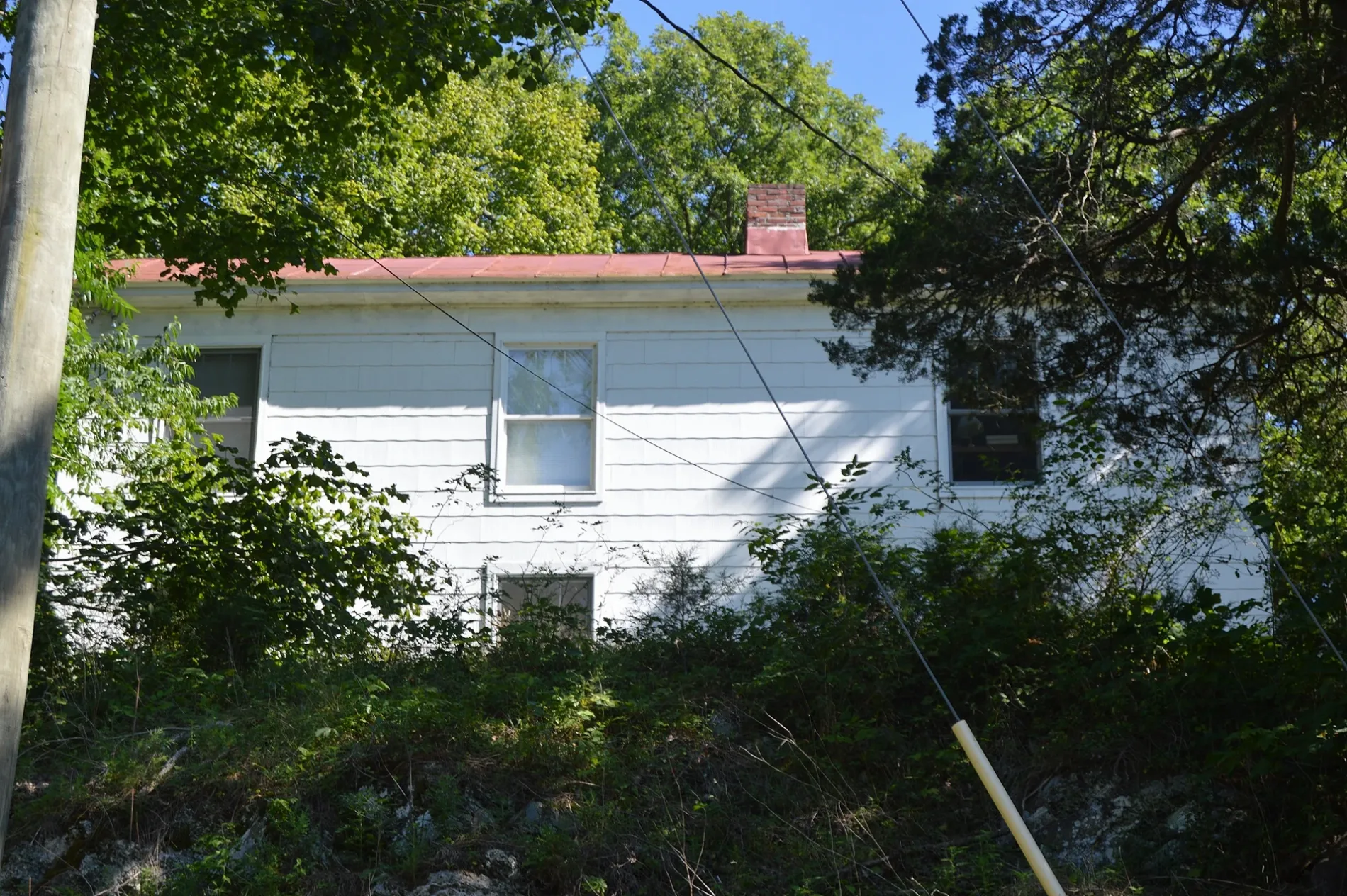
Gas stations
Streets nearby
Little Gibraltar Road400 ft
Millboro & Kerrs Creek TurnpikeMillboro Springs
0.8 mi
Old Staunton & Warm Springs Turnpike0.8 mi
Windy Cove Road0.9 mi
High Country Road1.0 mi
Plecker Drive1.0 mi
Old Camp Road1.1 mi
Cheyennee Drive1.2 mi
Coffee Pot Road1.2 mi
Ice Pond Road1.3 mi
Sugar Hollow Road1.4 mi
Church StreetMillboro
1.4 mi
Mountain Valley RoadWindy Cove Presbyterian Church, The Home Oil Co
1.4 mi
High Street Drive1.5 mi
Millboro Industrial Park Road1.5 mi
T C Walker Road1.5 mi
Hileman Street1.6 mi
Clarkson Lane1.6 mi
Cauthorn Road1.6 mi
Christian Drive1.6 mi
Coffeepot1.6 mi
State Route 6351.6 mi
Main StreetHot Springs, Bath County Farmers Market, Subway, Les Cochons d'Or, Sam Snead Tavern, Hot Springs Pharmacy, Virginia ABC, Genia's Hairstyling, Crowdertown, Bacova Junction
1.6 mi
Lower Yard Road1.6 mi
Huffman Hill Road1.8 mi
Campbell Hollow Road1.8 mi
Forbes Hollow Road1.9 mi
Simon Hollow Road1.9 mi
Cabin Draft Road2.0 mi
Redbud Lane2.0 mi
Indian Draft RoadFort Lewis
2.2 mi
Pig Run Road2.3 mi
Buildings nearby
Millbor Ruritan Club1.4 mi
Old Millboro School1.4 mi
BARC Electric Cooperative1.5 mi
Cemeteries nearby
Windy Cove Cemetery0.4 mi
General stores nearby
Millboro Mercantile & Grocery0.2 mi
Millboro General Store1.6 mi
Places of worship nearby
Calvary Baptist Church0.4 mi
Post offices nearby
Millboro Post Office1.6 mi
Railways nearby
North Mountain Subdivision1.6 mi
Rivers nearby
Stuart Run1.5 mi
Cowpasture River2.0 mi
School buildings nearby
Millboro Elementary School1.4 mi
Shelters nearby
Millboro Ruritan Club Shelter1.3 mi
Sports fields nearby
Tom Miles Field1.3 mi
Streams nearby
Lick Run0.6 mi
Cabin Creek2.0 mi
Swimming pools nearby
Millboro Pool1.4 mi
 Public transit map Bath County Legend
| Railway | |
| Bus | |
| Streetcar |
 Bicycle map Bath County Legend
| Bike path | |
| Bike lane on roadway | |
| Cycling allowed on bus lane | |
| Bicycle street | |
| Open to cyclists | |
| Open to cyclists, good path | |
| Cycling prohibited | |
| Cobblestone |
| Long-distance bike route | (depending on scale) | |
| Long-distance bike route |
 Pedestrian map Bath County Legend
| Path |
| Long-distance hiking trail | (depending on scale) | |
| Long-distance hiking trail | ||
| Pedestrians prohibited |